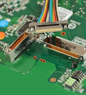
Omnetics Connector Corporation has released an article highlighting the use of advanced multispectral imaging techniques and camera systems for military,...
Crisis communication and critical communication not only require the deployment of reliable systems and technology, but also reliable solutions providers and people
In a recent whitepaper, VOTIXdiscusses how Drone Orchestration software is enhancing situational awareness in critical operations. The whitepaper explores the...
The Federal Aviation Administration (FAA) recently updated Part 107 Waiver Safety Explanation Guidelines (WSEG) and Guiding Questions, including the important...
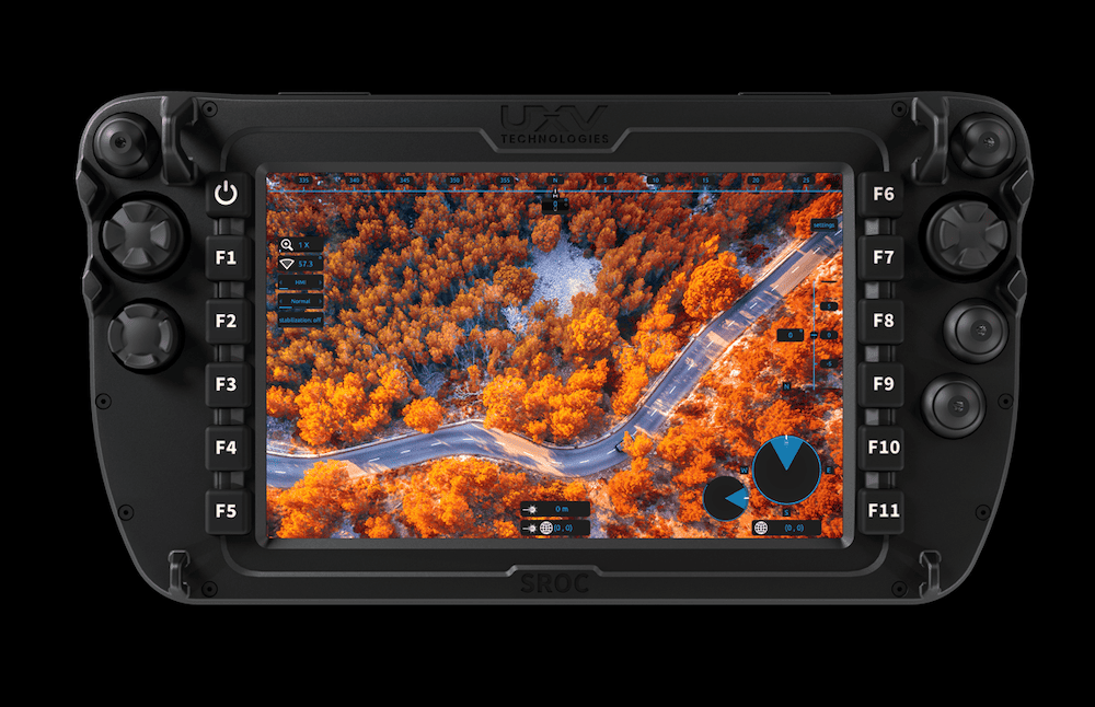
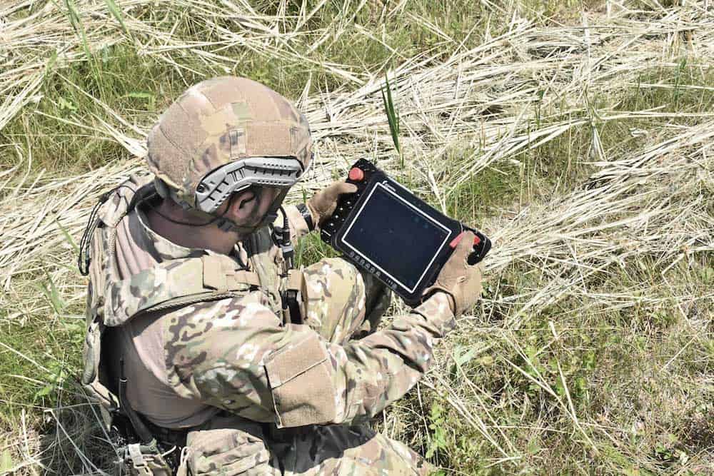
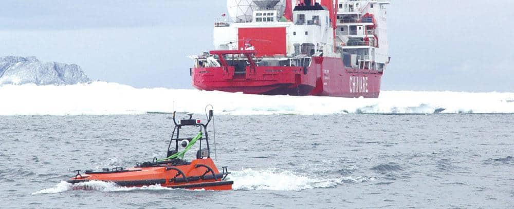
UXV Technologies, a global leader in cutting-edge command and control solutions, explores its collaboration with Rheinmetall Canada, which resulted in...
Andy Kelly, Head of Product Line at Intelligent Energy discusses IE-SOAR™ fuel cell modules and the benefits of hydrogen fuel cells to unmanned systems, including unlocking BVLOS operations and enabling UAVs to cover greater distances in a single flight
by Andy Kelly, Head of Product Line at Intelligent Energy
Advancing Unmanned Systems Through Strategic Collaboration
UST works with major OEMs to foster collaboration and increase engagement with SMEs, to accelerate innovation and drive unmanned systems capabilities forward.