Showcase your capabilities
If you design, build or supply Multibeam Echosounders, create a profile to showcase your capabilities and connect with visitors who have an active requirement for your solutions.




Multibeam Echosounders (MBES) are active acoustic mapping systems that transmit a fan of narrow beams to generate dense, georeferenced depth measurements and 3D seabed models. Installed on USVs, ROVs, AUVs, and UUVs, they support hydrographic surveying, terrain modeling, pipeline and offshore infrastructure inspection, wreck detection, habitat mapping, and obstacle avoidance.
This page features USV, AUV and ROV multibeam echosounder manufacturers, offering configurations including bathymetric, high-resolution inspection, wide-swath, forward-looking, dual-head, and interferometric systems.
Read the Technology Overview
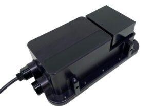
Advanced Underwater Imaging & Positioning Solutions for Uncrewed & Autonomous Marine Vehicles

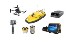
GNSS Positioning Systems, 3D SLAM & Mobile Mapping, Unmanned Surface Vehicles

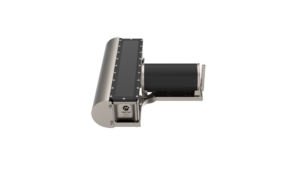
Hydrographic Survey Equipment: Multibeam Echo Sounders, Side Scan Sonars, Sound Velocity Sensors & Profilers

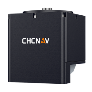
GNSS Positioning & Navigation Systems, Mobile Mapping UAV LiDAR & Unmanned Surface Vehicles

If you design, build or supply Multibeam Echosounders, create a profile to showcase your capabilities and connect with visitors who have an active requirement for your solutions.

Multibeam Echosounders (MBES) are active acoustic instruments that map the seabed in high resolution. Instead of recording a single depth point directly beneath a vessel, these systems transmit acoustic energy across a wide angular sector to form a dense fan of narrow receive beams. By measuring two-way acoustic travel time and beam angle, then combining these measurements with positioning, heading, motion, and sound-velocity data, they generate precise, georeferenced 3D point clouds. This multibeam sonar technology allows Unmanned Surface Vessels (USVs) to map vast areas safely from the surface, while Remotely Operated Vehicles (ROVs) and Autonomous Underwater Vehicles (AUVs) carry the sensors close to the seafloor to reduce the loss of spatial resolution associated with long acoustic ranges in deep water.

Surveyor 240 MBES multibeam echosounder for small USVs by Cerulean Sonar
Many advanced systems also record acoustic backscatter intensity, which measures the strength of the returned signal to provide insights into seafloor composition. Stronger returns typically point to harder or rougher materials such as rock or gravel, whereas weaker signals may suggest softer sediment. However, because backscatter is highly sensitive to operating frequency, grazing angles, seabed roughness, and water-column properties, accurate classification requires integrating this reflectivity data with core bathymetry, physical core samples, and high-resolution subsea photography.
A bathymetric multibeam echosounder survey system is engineered to generate highly accurate, georeferenced depth measurements that can be processed into structured bathymetric grids and digital terrain models. To achieve survey-grade accuracy, the sonar must integrate seamlessly with high-grade positioning, heading, motion, and sound-velocity sensors. When mounted on AUVs or ROVs, a compact, pressure-rated transducer operates closer to the seabed and can often utilize higher frequencies to deliver superior spatial resolution than surface-mounted systems can achieve in deep water.
High-resolution inspection multibeam sonar systems operate at elevated acoustic frequencies and short stand-off distances to resolve fine details on subsea infrastructure, with some systems offering millimeter-scale range resolution under favorable short-range conditions. Typically deployed on work-class ROVs using pan-and-tilt mounts, these systems allow pilots to inspect pipelines, foundations, and manifolds from multiple angles. They produce real-time acoustic imagery and, depending on the system configuration and processing method, dense 3D point clouds to detect structural anomalies without requiring physical contact.
Wide-swath mapping systems utilize expansive angular sectors and rapid ping rates to cover large seafloor areas in fewer passes, maximizing operational efficiency. For USVs, a shallow-water multibeam echosounder can cover several times the local water depth, although performance requires careful management of payload power, vehicle stability, motion compensation, and survey-line overlap to prevent gaps in coverage. AUVs also leverage wide swaths, requiring precise altitude control to maintain uniform sounding density.
A forward-looking multibeam sonar system insonifies the path ahead of a vehicle rather than the seafloor directly below, acting as an essential tool for obstacle avoidance and target localization. These high-frequency systems generate video-like acoustic imagery that cuts through turbid or pitch-black waters. While ideal for navigation, operators must carefully evaluate the system’s calibration and geometry before extracting reliable dimensional or survey data from the imagery.
A dual-head multibeam echosounder system combines two transducer heads with overlapping or complementary fields of view to expand coverage, reduce acoustic shadowing, and improve measurement of steep slopes or vertical structures. USVs often use outward-canted dual heads to maximize swath width in shallow waters, while ROVs deploy them to inspect both the seabed and vertical structures simultaneously. This configuration demands precise physical calibration and tight timing synchronization, coordinated triggering, or frequency separation to prevent acoustic cross-talk.
ROV integration depends on vehicle class. Large work-class ROVs support heavy payloads, while observation-class platforms require compact multibeam echosounder designs to manage buoyancy and drag. Sonar placement must avoid acoustic shadowing from thrusters, manipulators, or tether-management systems, utilizing downward mounts for seabed mapping and oblique mounts for pipelines and subsea manifolds.
With high-bandwidth tether telemetry, operators receive real-time multibeam sonar imaging to adjust gain and range settings on the fly. Upgrading existing vehicles requires precise buoyancy compensation to maintain stable handling during launch, recovery, and underwater flight.
Integrating a multibeam echosounder for AUV operations requires housing the sensor behind a hydrodynamic fairing to preserve battery during long-endurance missions. Precise, autonomous line-tracking is critical to delivering clean acoustic beams and high-quality multibeam survey data.
Because subsea acoustic telemetry is bandwidth-limited, systems store raw data onboard and use real-time edge processing to monitor sounding density. This local data processing can generate real-time bathymetry to drive terrain-aided navigation and obstacle-avoidance systems, even on micro-AUVs restricted to compact, low-power sonar heads.

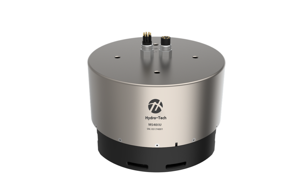
MS8200 oceanographic multibeam echosounder for Deep-Water Mapping by Hydro-Tech
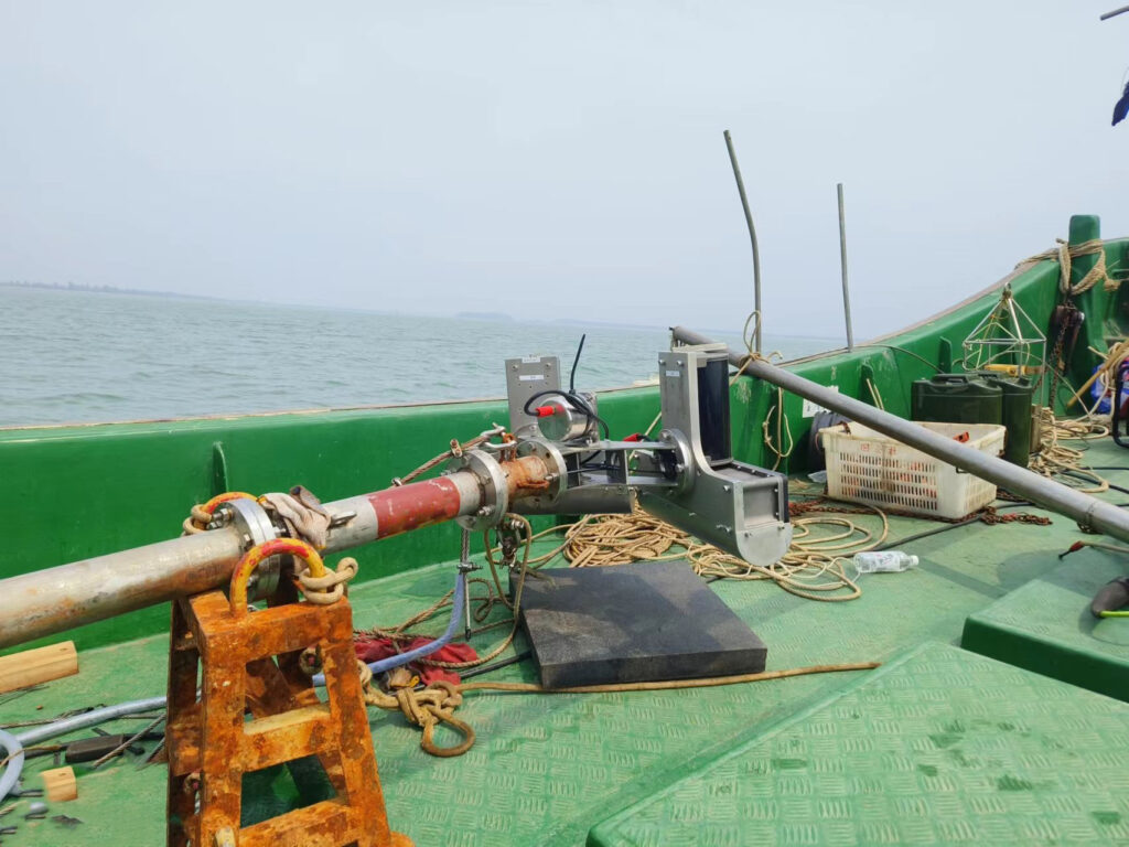
USV integration must counter bubble sweep-down at the air-water interface to avoid signal aeration. Integrators deploy deep-V hull mounts, retractable drop-keels, or rigid over-the-side poles to secure the sensor while minimizing hydrodynamic drag.
To correct for wave action, USVs rely on a tightly coupled GNSS/Inertial Navigation System (INS) with calibrated lever-arms. While near-shore missions stream data, offshore transits depend on onboard storage, demanding efficient, low-draw multibeam hardware to sustain long surveys.
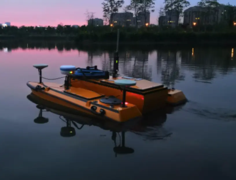
A professional multibeam survey is a widely used method for producing high-accuracy charts of ports, harbors, rivers, and coastal shipping lanes. Deploying a shallow-water multibeam sonar on an autonomous USV allows operators to execute systematic, repeatable survey lines safely while reducing the need to place personnel and crewed survey vessels within hazardous shallow-water zones.
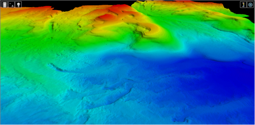
By collecting a dense pattern of acoustic soundings, surveyors can build high-resolution digital terrain models that reveal fine-scale seafloor morphology. These detailed models show sand waves, rocky reefs, and localized scour zones that may be difficult or impossible to detect reliably with sparse single-beam soundings.
The offshore wind, oil, and gas industries rely on multibeam survey equipment to plan turbine foundations, route subsea cables, and inspect pipelines. During pipeline surveys, the multibeam scanning sonar maps the pipe’s alignment and helps identify hazardous free spans, exposure, or localized seabed erosion.
A 3D multibeam scanning sonar can map historic shipwrecks and submerged archaeological sites without making physical contact. Running multiple passes from different angles reduces acoustic shadows, enabling researchers to reconstruct complex vertical structures and monitor delicate sites for physical deterioration and environmental change.
Combining multibeam bathymetry with calibrated acoustic backscatter allows scientists to map marine habitats and classify seabed ecosystems. Additionally, systems equipped for water-column imaging can capture water-column returns to track gas seeps, hydrothermal plumes, and biological scattering layers.
The landscape of subsea acoustic mapping is rapidly evolving, driven by several key technological trends:
These ongoing technological advancements are expanding multibeam sensors beyond conventional measurement tools, enabling more adaptive survey workflows, real-time data assessment, and greater autonomy on suitably equipped subsea platforms.


 Searching Companies & Products



 Subscribe to the Weekly eBrief
The latest engineering and technical developments straight to your inbox - join thousands of engineers who receive it.
Subscribe to the Weekly eBrief
The latest engineering and technical developments straight to your inbox - join thousands of engineers who receive it.