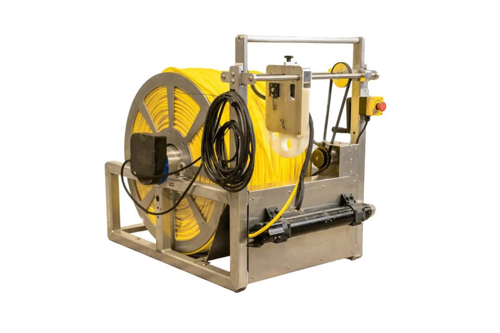
The 1000m DPK and Fiber System extends the REVOLUTION ROV's range, offering enhanced communication, uninterrupted power, and a reliable solution for long-distance, deep-water missions
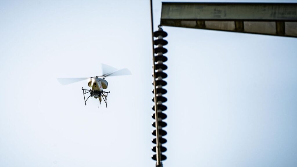
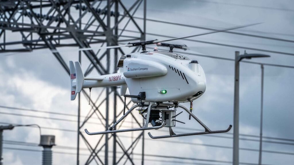
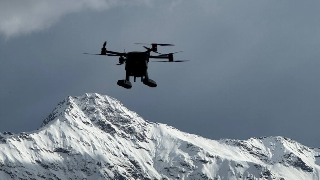
Southern Company will use SwissDrones unmanned helicopters for grid monitoring and inspection, after gaining FAA approval for beyond visual line-of-sight (BVLOS) flight operations
Voyis has launched its Voyis Academy and Voyis Protect programs to sustain the Discovery Stereo Vision System's long-term reliability and subsea optical excellence
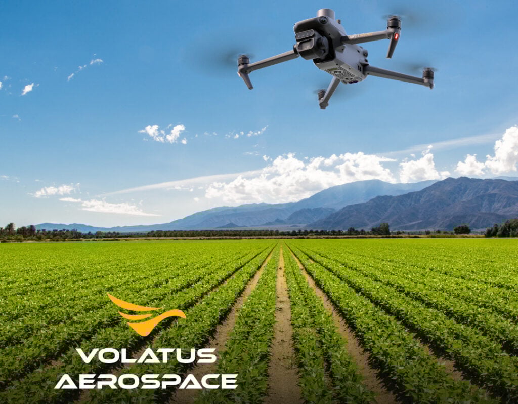
Volatus Aerospace has secured a national agriculture contract to provide drone-based multispectral surveys across North America, supporting large-scale data collection for crop intelligence
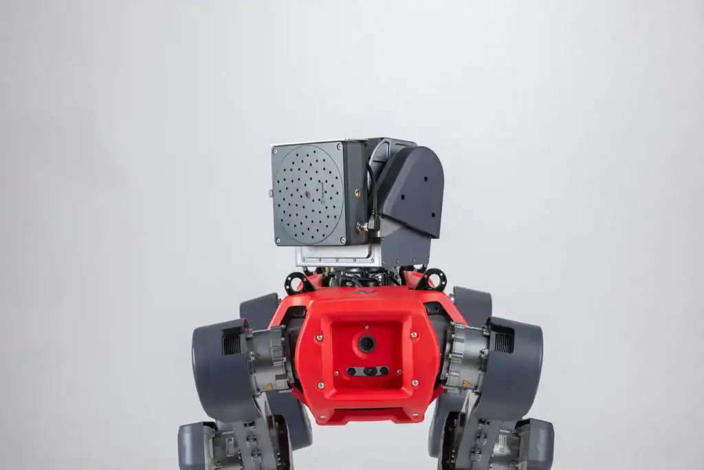
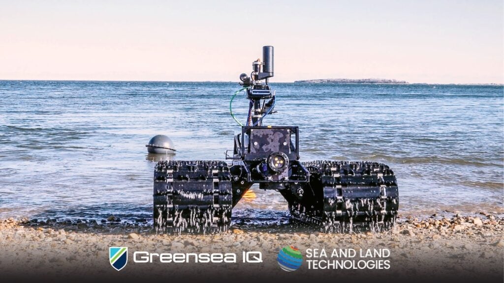
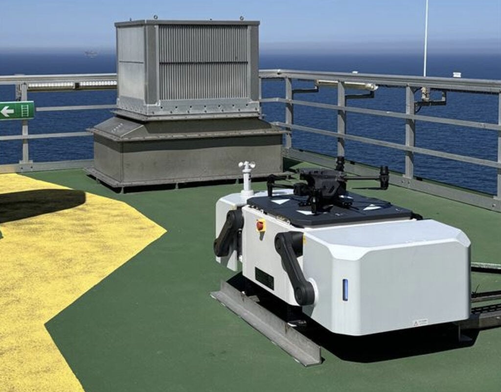
Greensea IQ has named SALT as its exclusive Southeast Asia representative for Bayonet AUGVs, expanding access to advanced subsea robotics in the region
SwissDrones has secured its first U.S. hardware contract with Southern Company, supporting critical infrastructure operations with its long-range SDO 50 unmanned helicopter system
Plymouth Marine Laboratory is advancing shallow water mapping using RIEGL's UAV-mounted bathymetric LiDAR, enabling high-resolution, low-impact environmental data collection and research
Aker Solutions has advanced offshore inspection with autonomous drones, completing a BVLOS flight from shore and integrating AI-driven monitoring on a North Sea platform
Using autonomous underwater technology, Advanced Navigation and O2 Marine have documented severe coral bleaching at Hall Bank, revealing climate impacts on one of Earth’s southernmost reefs
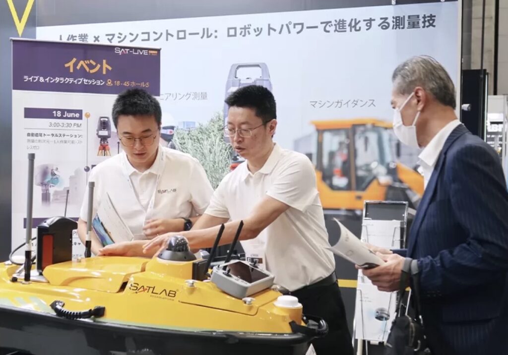
SatLab Geosolutions’ new HydroBoat 1200MB combines USV technology and the HydroBeam M2 sonar for real-time 3D surveys, offering fast deployment, high efficiency, and reduced operational costs
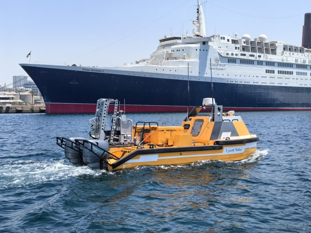
OceanAlpha’s L25 USV demonstration in Dubai highlighted advanced autonomous capabilities for offshore energy, marine surveying, and smart port development in the Middle East
Xer Technologies has partnered with the Unmanned Safety Institute to deliver standardized global training for its X8 aircraft, enhancing safety and operational readiness
Wavefront Systems has expanded its Solstice MAS sonar range with 1500 m and 3000 m variants, enhancing compatibility with deepwater platforms and autonomous systems
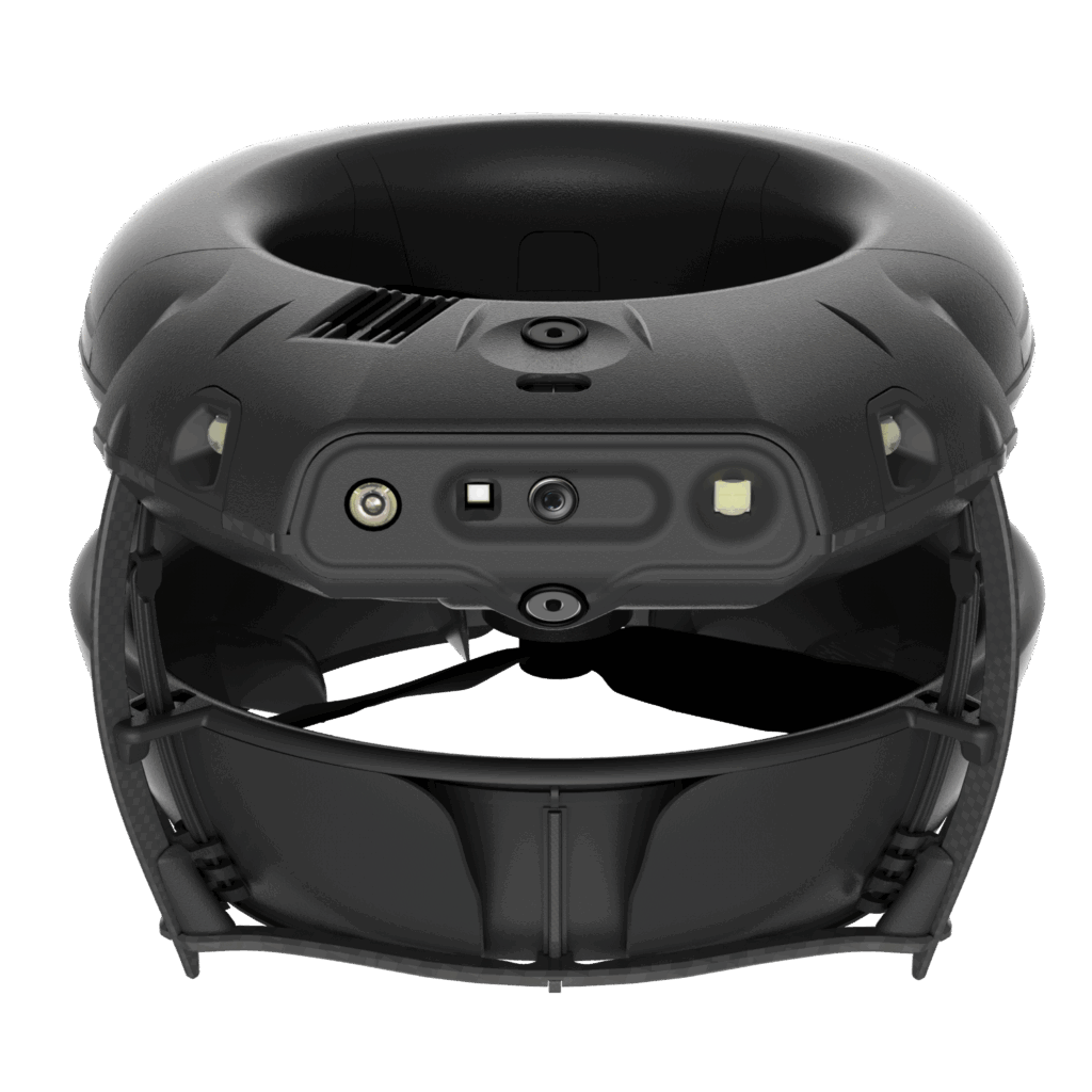
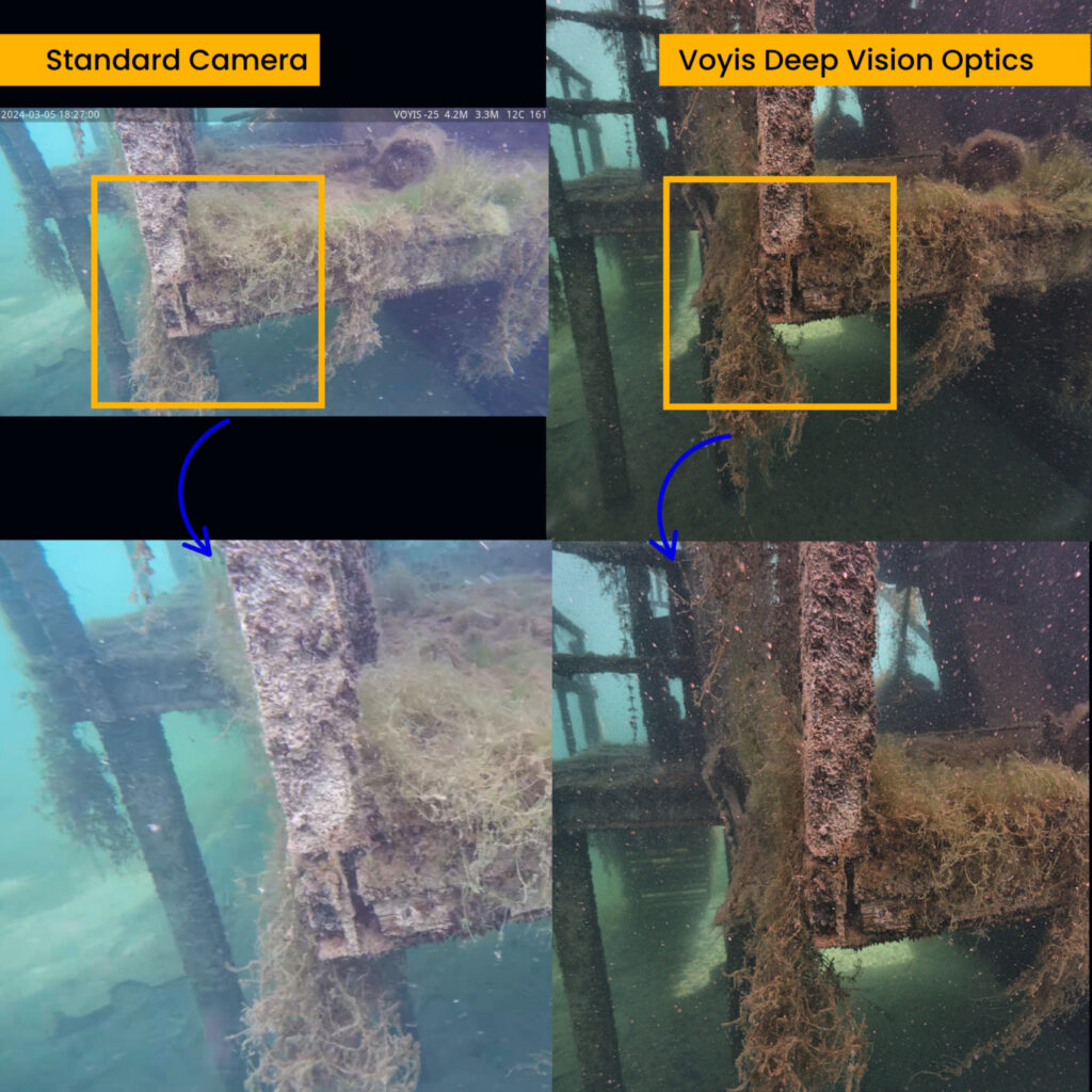
Voyis unveils Deep Vision Optics, an innovative optical system that advances underwater imaging by delivering substantial enhancements to image clarity and sharpness.
YellowScan and Argosdyne have partnered to deliver C2 Class-certified EasyMapper drone solutions, expanding global reach and ensuring compliance with EU drone regulations
John Deere’s acquisition of Sentera enhances drone-enabled precision agriculture, integrating advanced aerial imaging and analytics to improve farm efficiency, sustainability, and data-driven decision-making
Proxima Vision and Gremsy have teamed up to deliver an integrated drone platform with advanced imaging, enabling extended, high-precision aerial surveillance and real-time data capture
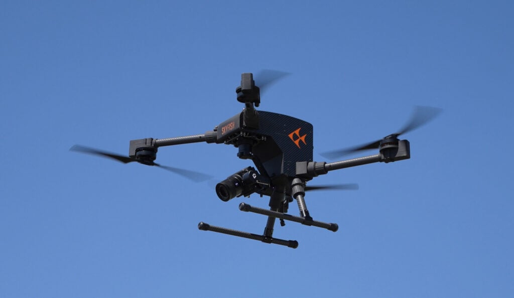
Unveiled at XPONENTIAL 2025, Skyfish’s Osprey drone offers advanced U.S.-made capabilities for precision inspection, 3D mapping, and tactical ISR operations
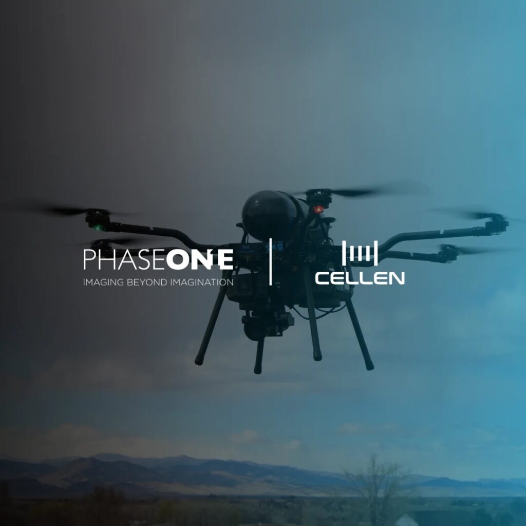
Cellen and Phase One have partnered to integrate Cellen's hydrogen-powered H2-6 drone with Phase One's P3 aerial camera, fusing impressive flight endurance with ultra high-resolution imaging performance
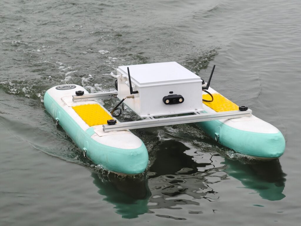
AGISTAR introduces the BX-USV II, a compact modular platform engineered for aquatic data collection, environmental monitoring, hydrographic surveying, and infrastructure inspection in shallow and inland waters
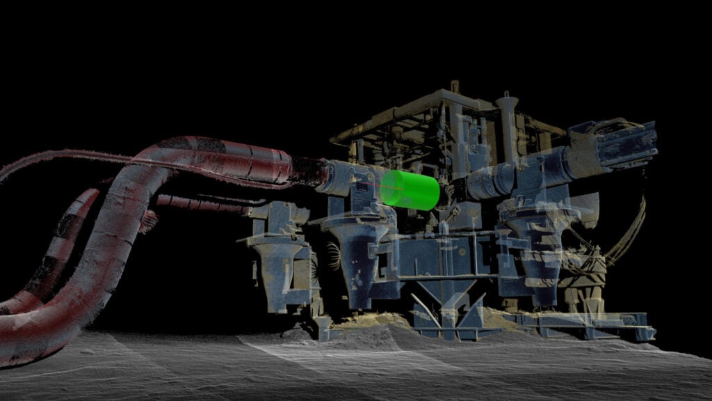
Kraken Robotics subsidiary, 3D at Depth, has achieved a significant accomplishment, successfully completing its 1,000th subsea metrology project for TotalEnergies
Advancing Unmanned Systems Through Strategic Collaboration
UST works with major OEMs to foster collaboration and increase engagement with SMEs, to accelerate innovation and drive unmanned systems capabilities forward.