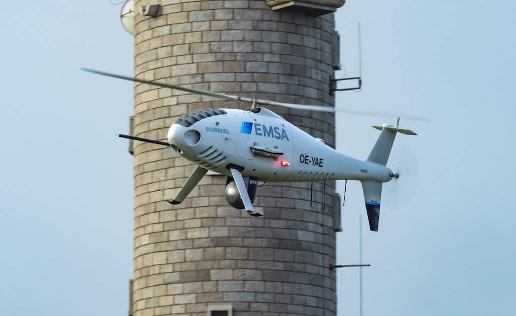
Schiebel’s CAMCOPTER S-100 UAS, which can carry multiple payloads, fly slowly, and hover, has won a new EMSA contract for monitoring and maritime surveillance operations
SubC Imaging and Seismic Asia Pacific will combine subsea imaging with advanced marine exploration equipment and expertise across Australia and Southeast Asia
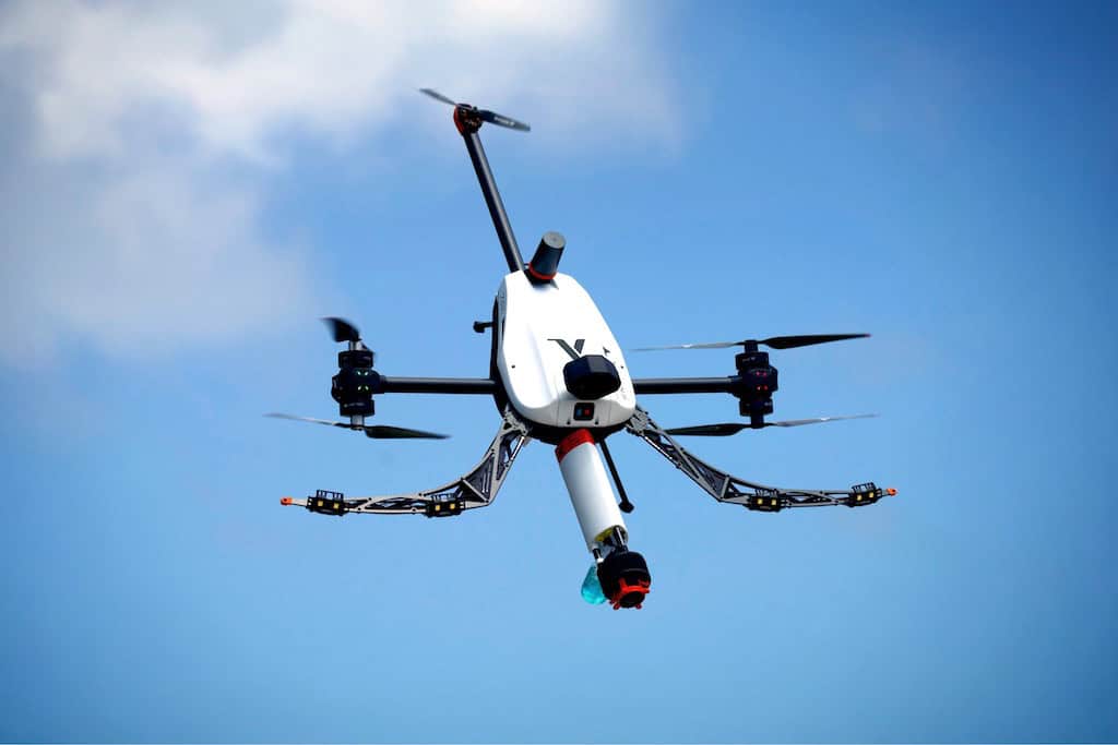
Voliro is leading the charge in unmanned inspection and maintenance with its Voliro T aerial robotic solution, enabling efficient non-destructive testing and safer working conditions
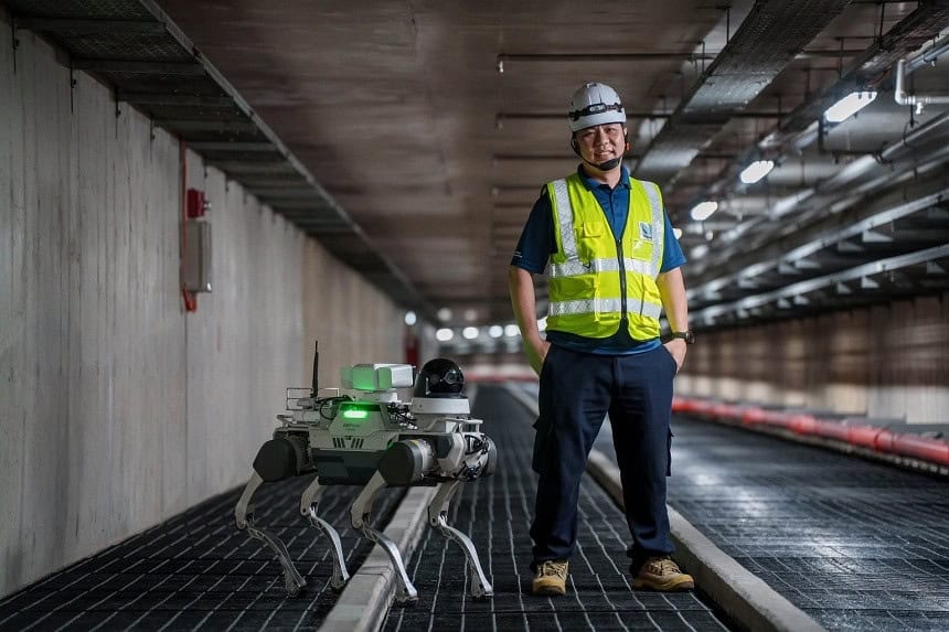
DEEP Robotics’ industrial-grade quadruped robot, X30, is now operational in Singapore’s underground power transmission cable network to carry out infrastructure maintenance
Volatus Aerospace’s “Surveillance as a Service" solution will use drone technology to provide secure, multi-modal surveillance for faster response times and actionable intelligence
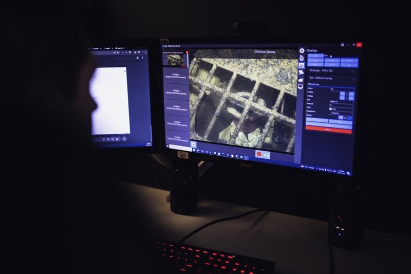
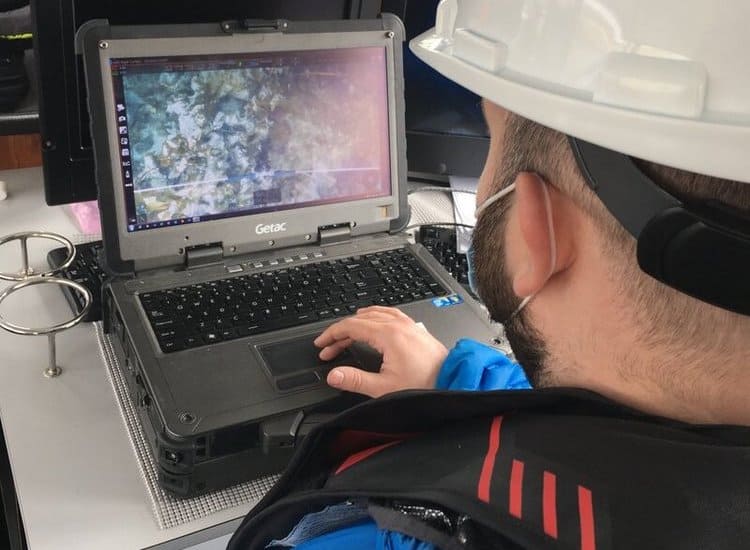
SubC Imaging is introducing its new Rugged DVR+ Overlay Laptop powered by Rayfin Single-Channel Inspection software, offering a portable and reliable solution for maritime professionals in demanding environments
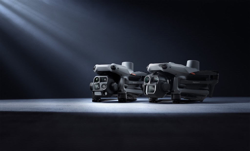
The DJI Matrice 4 Series is DJI’s new flagship enterprise drone series, featuring intelligent multi-sensor compact drones with smart detection and laser range finder measurement
CHCNAV has introduced the X500 Multirotor Drone, designed to offer precise obstacle detection, long flight times, and reliable operation for complex tasks such as infrastructure inspection and urban monitoring
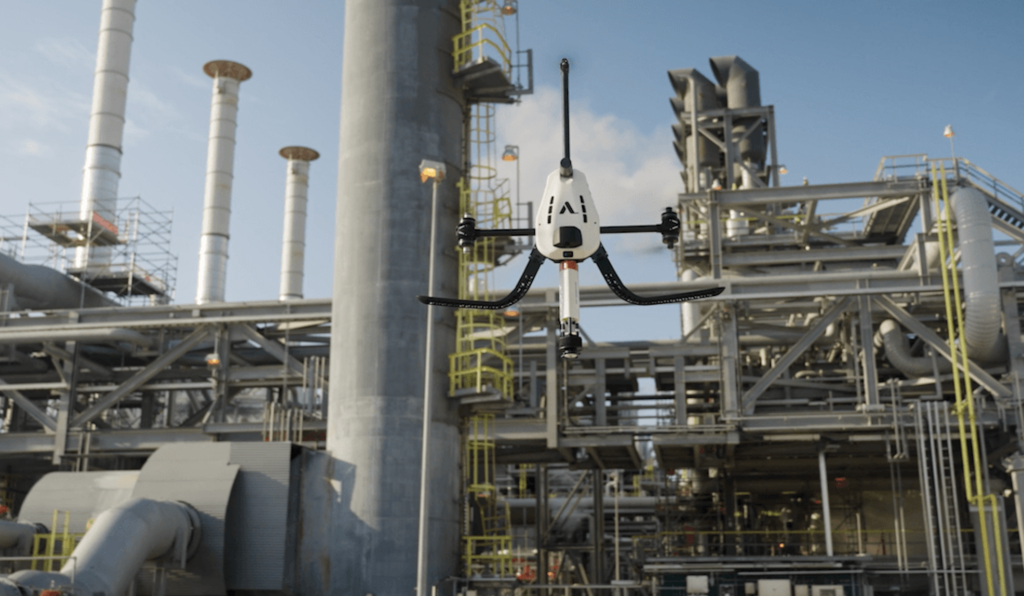
The TOPONE autonomous drone by SEGULA Technologies offers a safe and effective alternative for technical inspections, eliminating the need for human intervention in these high-risk areas
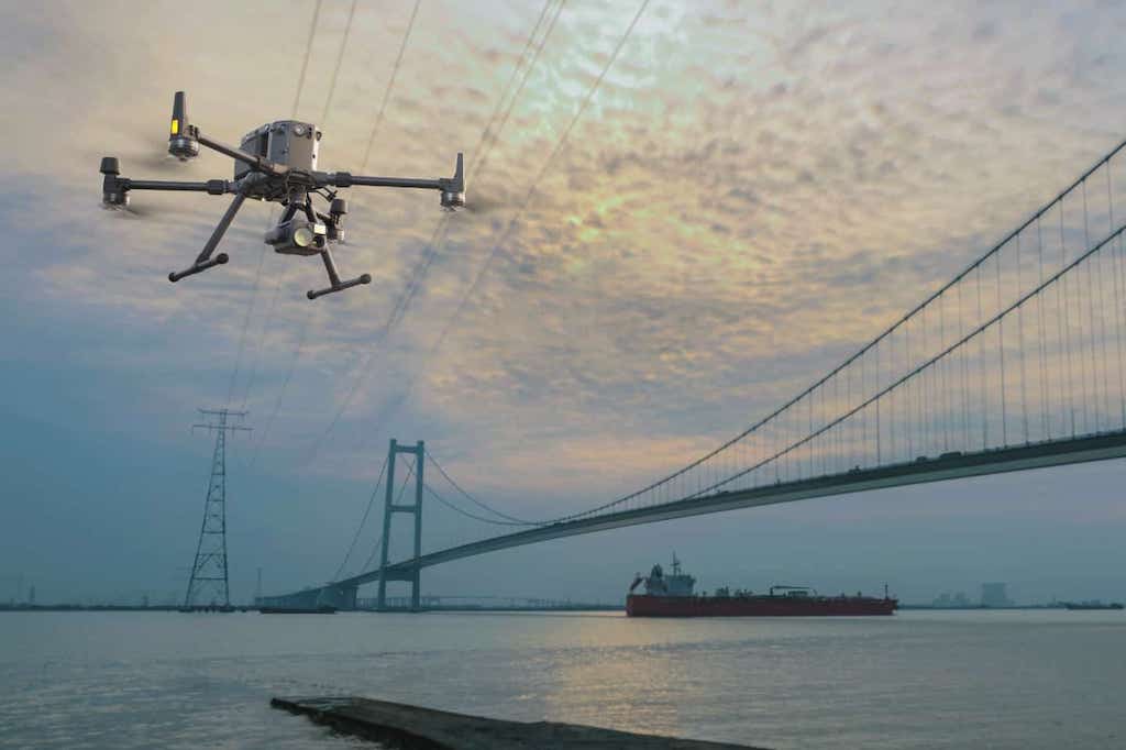
The collaboration between WISPR and Keystone Precision Solutions focuses on integrating UAVs into structural assessments, offering a more efficient way to conduct inspections of bridges, buildings and other critical structures
MFE Inspection Solutions has launched a drone-mounted OGI camera that complies with the EPA’s 40 CFR part 60 Appendix K requirements, compatible with the DJI Matrice 300 and 350
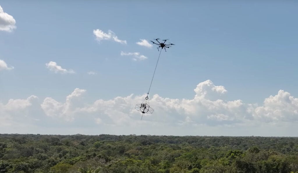
NJIT biologist Eric Fortune and a team of scientists called “Limelight Rainforest” with its biodiversity sampling technology have won the five-year XPRIZE Rainforest Competition
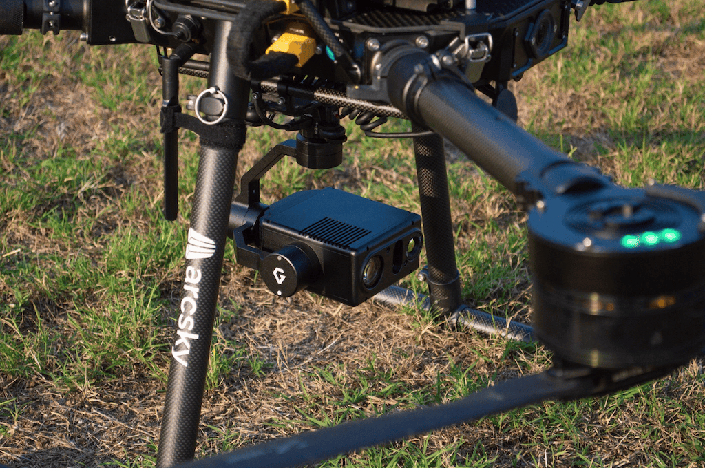
Gremsy’s lightweight EO/IR VIO camera payload — equipped with AI capabilities and advanced zoom, among other features — is being integrated into Arcsky’s UAV technology
Voyis’ Discovery Stereo Vision System has achieved BV certification for its accuracy in subsea metrology and mooring chain inspections, ensuring high measurement reliability
Overwatch Imaging demonstrated its Automated Sensor Operator with L3Harris’ EO/IR sensor systems, bringing cutting-edge imaging technology to domestic and international customers
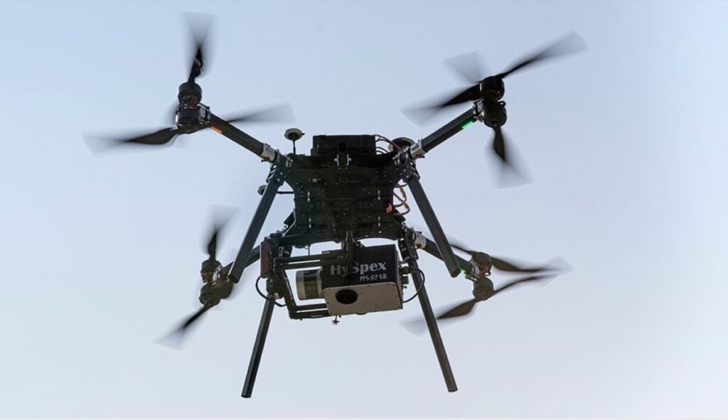
Funded under the Photonics Partnership, the HyperImage project is developing a new spectral camera for geo surveillance drones and automated vertical farming applications
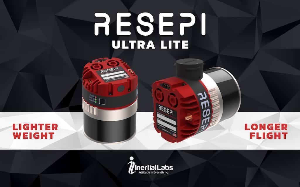
Inertial Labs’ new RESEPI Ultra LITE is the company’s lightest complete payload to feature both LiDAR and camera technology, offering ease of use, precision, and adaptability
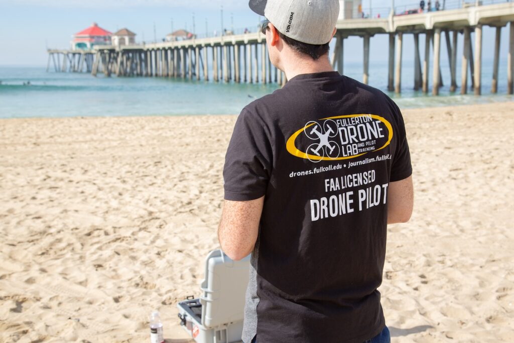
Fullerton College, California’s longest-running community college, introduces a new Bachelor of Science program in Drone and Autonomous Systems, starting Fall 2026
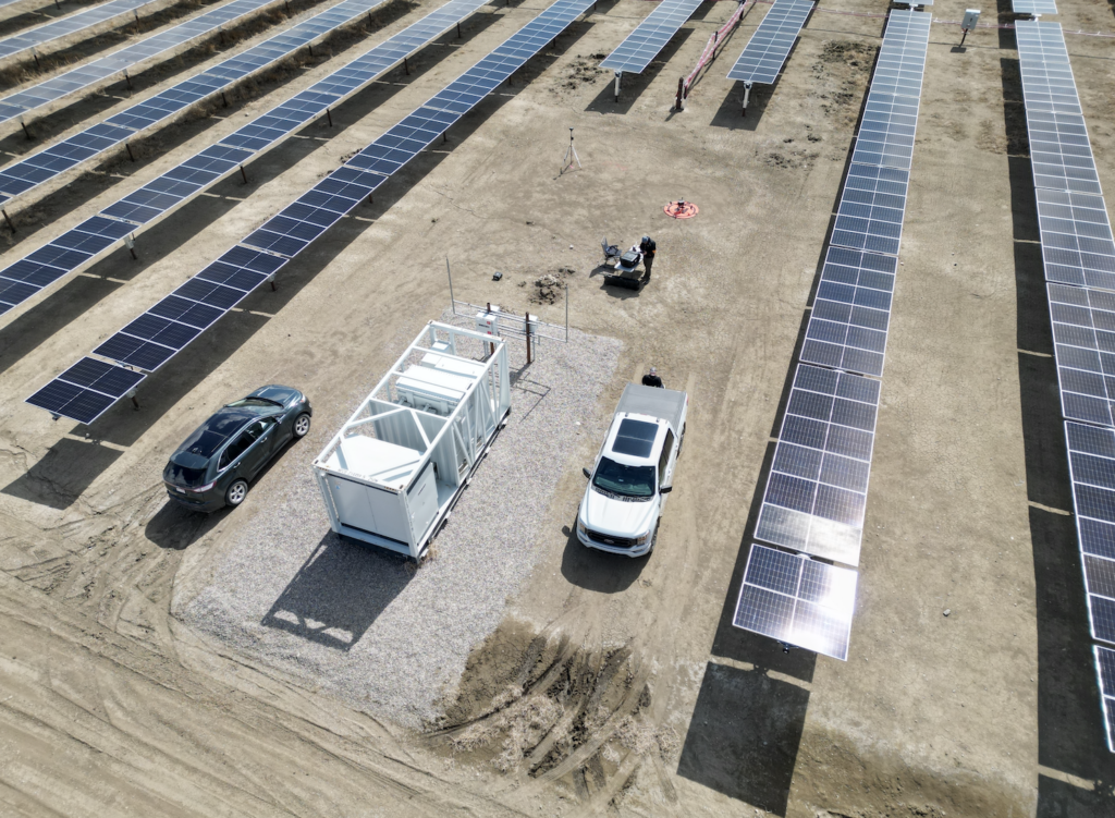
Volatus Aerospace utilized RGB and infrared (IR) drones in combination with handheld thermal cameras to collect comprehensive data, ensuring the solar farm's operational readiness
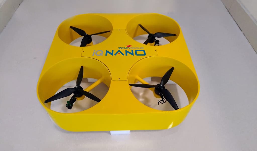
ZenaTech’s new IQ Nano Drone is designed for indoor use in warehouse, distribution, and plant facilities for inspection, monitoring, and tracking processes like inventory management
Gremsy has launched the two-axis Pixy LR gimbal, built for Sony lLX-LR1 and designed for inspection and mapping applications, offering an unobstructed view and versatile integration
Advancing Unmanned Systems Through Strategic Collaboration
UST works with major OEMs to foster collaboration and increase engagement with SMEs, to accelerate innovation and drive unmanned systems capabilities forward.