


Survey Grade UAV
Discover cutting-edge solutions from 13 leading global suppliers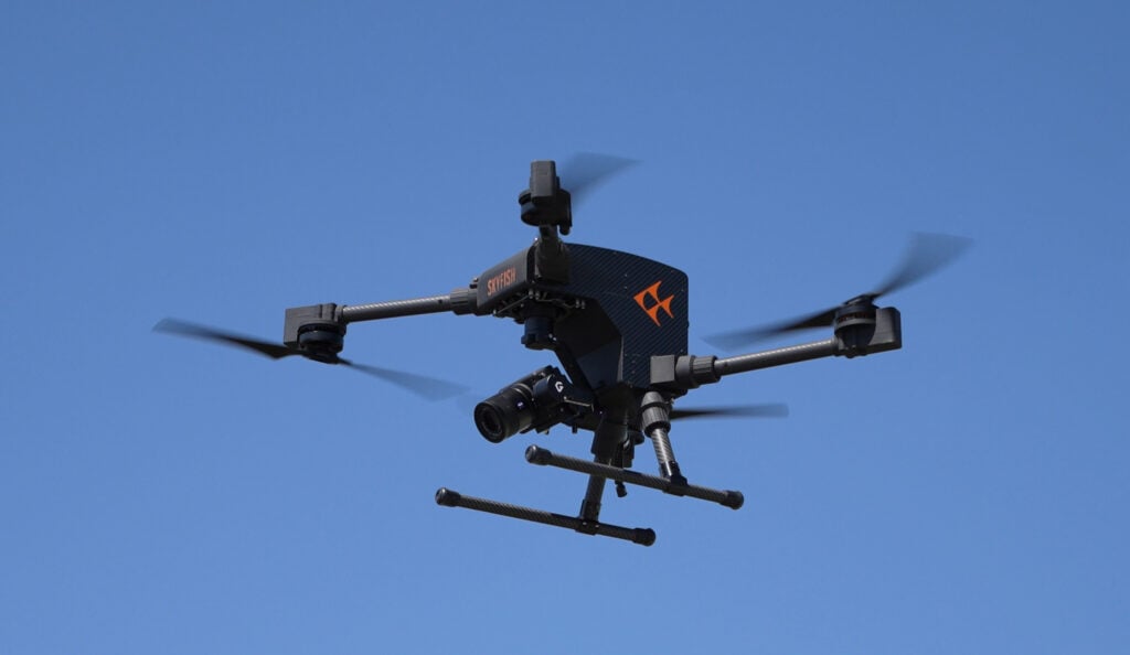
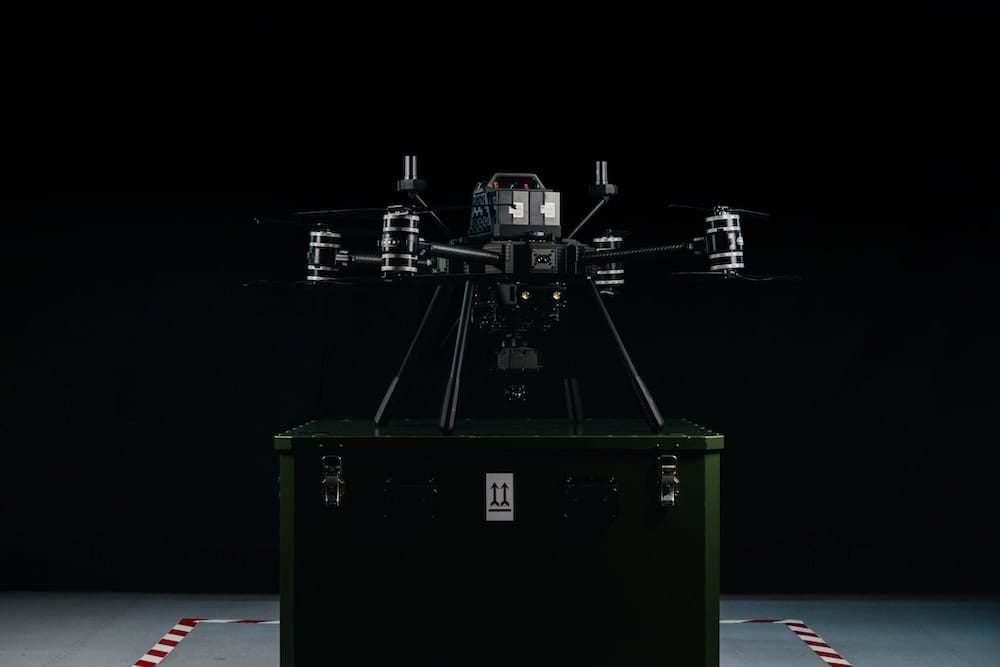
Skyfish has launched its new American-made enterprise drone, the Osprey, at AUVSI XPONENTIAL 2025.
Engineered as a high-performance alternative to DJI platforms, Osprey is built for professionals in infrastructure inspection and ISR (intelligence, surveillance, and reconnaissance), offering advanced capabilities in a compact and portable form factor that fits into a backpack.
Osprey delivers extended flight times of over 50 minutes and supports a radio range of 3 to 5 miles, making it suitable for long-duration and large-area missions. The drone integrates an all-new, ground control station that enhances ease of use and portability. Fully compatible with third-party sensors, Osprey supports the 61-megapixel Sony LR1 for photogrammetry and precision mapping, and the NextVision Raptor EO/IR payload for ISR, which features X80 electro-optical zoom and long-range infrared performance.
Designed and manufactured in the United States, Osprey is NDAA compliant, Green UAS in process, and certified by U.S. Army DEVCOM at Airworthiness Level 3. The drone is equipped with RTK for centimeter-grade positional accuracy and features autonomous flight capabilities as well as automated in-flight geotagging of frame-synchronous data, enabling the creation of engineering-grade 3D models and digital twins.
Skyfish’s software enables precise modeling and measurement for a range of critical infrastructure applications, including cellular towers, bridges, wind turbines, airports, roads, and power lines. These high-resolution digital twins are measurable to within 1/32 of an inch, supporting detailed engineering analysis and long-term asset management. For public safety and defense sectors, Osprey provides robust ISR capabilities with real-time visual intelligence in day or night conditions.
Dr. Orest Pilskalns, CEO of Skyfish, said, “To give customers exceptional performance, Osprey was designed to be lightweight, fly up to an hour, record an exact location, and support best-in-class industry sensors for either infrastructure inspection, or ISR. The Osprey was also originally designed as an American-made replacement for the DJI M30 or DJI M300 series drone, but Osprey turned out to be an even better drone than the DJI equivalent. To all those that say that there isn’t an American-made drone to compete against DJI – well there is now – it’s the American made, NDAA compliant, Skyfish Osprey drone.”
Purpose-built for enterprise and government operations, Osprey reflects Skyfish’s commitment to delivering secure, high-precision unmanned systems that meet the rigorous demands of American industries and national security stakeholders.


