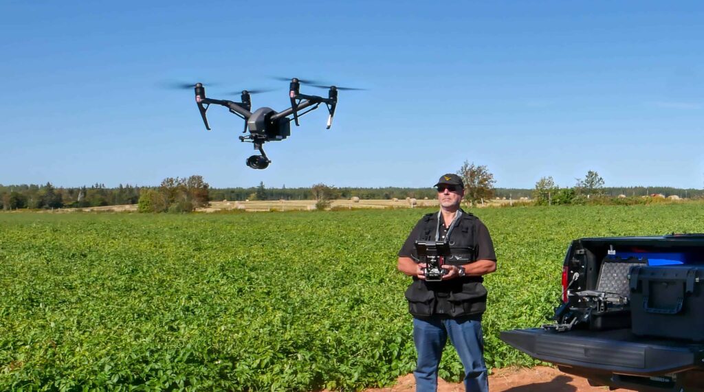
Volatus Aerospace will present an intermediate-level online training program on November 17th, 2025, that provides foundational knowledge in photogrammetry and LiDAR for professional drone operators.

The Drone Mapping Fundamentals in Photogrammetry & LiDAR course equips participants with the technical understanding required to conduct accurate aerial mapping missions and generate reliable geospatial datasets.
Designed for pilots and technical professionals with an Advanced RPAS Pilot Certificate, the program combines structured instruction with applied learning principles, aligning with operational and regulatory standards used in commercial drone surveying.
Core Topics
Participants will receive detailed instruction in both photogrammetry and LiDAR workflows, covering the essential concepts, tools, and accuracy considerations required for professional survey operations.
Topics include:
- Photography Basics: Exposure, focal length, and image quality fundamentals.
- Survey Mission Planning: Development of efficient and safe aerial survey missions.
- Nadir and Oblique Capture: Understanding when and how to apply both perspectives.
- Manual Data Capture: Techniques for precise dataset collection when automation is not available.
- RTK and PPK GNSS Corrections: Methods for improving positional accuracy using advanced GNSS processes.
- Accuracy Considerations: Identification of potential error sources and mitigation strategies.
- LiDAR Basics: Introduction to LiDAR hardware, data capture methods, and processing workflows.
Why Attend
The program is structured to help participants strengthen their operational precision and confidence in survey mission execution.
- Practical Knowledge: Instruction focuses on actionable skills for planning and conducting drone mapping missions.
- Versatile Skillset: Participants gain foundational understanding of both photogrammetry and LiDAR for use across multiple sectors.
- Accuracy and Precision: The curriculum emphasizes accuracy standards relevant to regulatory and commercial applications.
- Expert Instruction: Guidance is provided by experienced trainers with extensive field and operational backgrounds.
- Volatus Certification: Graduates receive a Volatus Aerospace Certificate of Completion that verifies course participation and competency.
Instructor-Led Professional Training

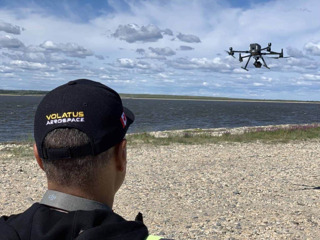
The course is led by Lee Dodson, Senior RPAS Instructor at Volatus Aerospace Inc., who brings more than 20 years of operational and instructional experience in advanced drone applications. His background spans offshore energy, electronic engineering, and cinematography, and he has trained professionals in sectors such as infrastructure, public safety, and film production.
Dodson’s instruction is described as immersive and grounded in real-world field experience. His teaching approach emphasizes mission planning, regulatory compliance, and both air and ground risk assessment, key principles that align with the Volatus Academy’s advanced RPAS training framework.
Industry Applications
The course is intended for:
- Drone pilots expanding into aerial survey and mapping operations.
- Engineers, GIS professionals, and mapping specialists.
- Project managers in construction, mining, and renewable energy sectors.
- Professionals requiring accurate geospatial data for planning and analysis.
Certification and Enrollment
Upon completion, participants receive a Volatus Aerospace Certificate of Completion, verifying their technical proficiency in drone mapping fundamentals. The course fee is CA$1,500 and takes place on November 17th.
By combining expert instruction with a clear focus on photogrammetry and LiDAR, Volatus Aerospace continues to support the advancement of professional drone surveying and data acquisition standards across a range of industries.