Volatus Aerospace and YellowScan are set to host a collaborative drone LiDAR technology showcase in Vaughan, Ontario, on July 8, 2026.

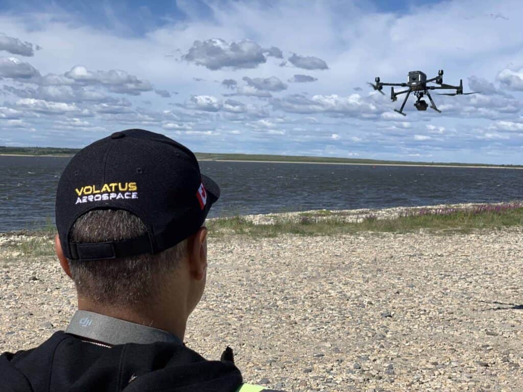
The hands-on event is designed for industry professionals to experience live flight demonstrations featuring the YellowScan Mapper Ultra and YellowScan Venturer systems integrated with the DJI M400 aerial platform. Attendees will observe live point cloud previews and a sensor swap demonstration, highlighting how advanced aerial LiDAR technology is used across surveying, infrastructure inspection, corridor mapping, forestry, mining, and environmental applications.
The YellowScan Navigator will also be available on-site for technical consultation, with discussions focused on topo-bathymetric surveys, bathymetric mapping, and seamless water-to-land data collection workflows.
Following the outdoor flight demonstrations, the event will transition to presentations from Volatus Aerospace and YellowScan specialists covering LiDAR workflows and data processing demonstrations using real-world datasets collected on-site. The afternoon agenda includes use-case focused discussions, interactive question and answer sessions, and networking opportunities with LiDAR specialists, drone experts, and industry peers.
The event will run from 9:30 AM to 3:30 PM at 5000 Teston Road, Vaughan, Ontario, and includes a complimentary lunch for participants exploring applications ranging from utility and energy corridor inspections to transportation projects, land assessment, shoreline surveys, and topographic mapping.