


RIEGL’s UAV LiDAR sensor, the VUX-1UAV22, has been used as part of a project to uncover further secrets of the ancient Greek city of Heloros in Italy.
Prof. Dr. Nicola Lercari, Director of the Institute for Digital Cultural Heritage Studies at the LMU Munich (Ludwig-Maximilians-Universität München), has provided details from the project.
RIEGL‘s UAV-based LiDAR technology has been proven to be highly effective in archaeological research at the ancient Heloros site in Southeastern Sicily, which is covered by dense Mediterranean vegetation.
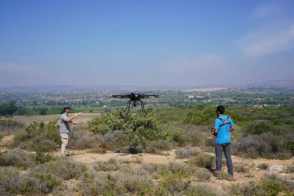
In September 2023, Prof. Lercari and the Heloros Advanced Digital Exploration and Surveying (HADES) project team (LMU Munich Institute for Digital Cultural and University of South Florida, Institute for Digital Exploration) used a RIEGL VUX-SYS (with VUX-1UAV22 and Applanix APX-20 included) mounted on an ACECORE NOA drone to capture high-precision 3D data of Heloros’ landscape and hidden archaeological features.
This complex task was accomplished by leveraging the RIEGL VUX-1UAV22 LiDAR sensor’s ability to penetrate the canopy of trees and shrubs with sufficient point density and accuracy.
The ancient Greek city of Heloros is situated on a low plateau, covering around 12 hectares, and standing 20 meters above sea level. It is located on Sicily’s Ionian shore, approximately 30 km south of the city of Syracuse.
The site’s archaeological artifacts and the strategic importance of its topography has told archaeologists much about Heloros, considered a formidable fortress at its peak with a harbor of great strategic importance to the Syracusans.
The city boasted imposing fortification walls, a heavily fortified North Gate, a theater, several temples, and a Sanctuary of Demeter with a monumental stoa and a well-planned urban layout. However, despite the vast collection of excavated materials, the site is among the least-known Greek settlements in Sicily, and it has never been explored using modern archaeological methods and surveying techniques.
Consequently, there are still many open issues about the history of ancient Heloros, even after more than a century since the first excavations. For these reasons, as part of the research activities of the HADES project, the team conducted a week-long campaign over Heloros’ landscape, flying twelve missions and scanning an area of three-square kilometers, which is around four hundred twenty football pitches.
During the flyovers, they used the state-of-the-art RIEGL VUX-SYS system to capture high-resolution point clouds as well as imagery using an integrated 64-megapixel RGB camera. The system recorded billions of measuring points in its memory, allowing the team to produce incredibly high-resolution georeferenced Digital Terrain Models of Heloros’ structures and topography, complete with realistic colors and free of vegetation.
This was possible because each measuring point under the canopy is furnished with exact geodata recorded in real-time by a GNSS sensor included in the system and a reference station on the ground, along with corresponding color information retrieved in the RGB photographs.
To make the registration of the measured points even more accurate and deal with the vibrations caused by the drone flight path from winds and thermals, the RIEGL VUX-1UAV22 LiDAR sensor was combined with an integrated Applanix APX-20 IMU, which was used to correct the drone’s trajectory.
Using the RIEGL UAV-based LiDAR technology and the RiPROCESS point cloud classifier tool, the team of Prof. Lercari was able to penetrate through the thick Mediterranean vegetation that covers the rugged landscape of Heloros, filter out this vegetation, and clearly identify and map the underlying archaeological features with a sufficient point density.
Specifically, these findings demonstrated that this technique successfully detected stone quarries and cart tracks located North and South of the site, as well as towers and fortification walls that were excavated on the Heloros hill in the 19th and 20th centuries, which were later covered by trees and shrubs.
Prof. Lercari commented; “…in our upcoming LiDAR mapping campaigns, we plan to make full use of the capabilities of the RIEGL VUX-SYS system to conduct extensive surveys of the landscape in Southeastern Sicily.
“Our aim is to study the ancient transportation systems constructed by the Greeks in the southern region of Syracuse and connect them to the broader research on the economic exploitation of this area during ancient times.”


