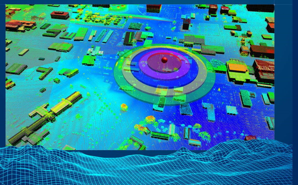
Textron Systems has launched a new e-commerce website that will allow customers to easily purchase the company’s geospatial analysis software, which allows users to integrate and analyze multiple data sources such as aerial imagery and video captured by UAVs (unmanned aerial vehicles).
The new webstore will ensure that customers are effortlessly guided from the homepage to checkout, with easy-to-purchase educational and commercial licenses with immediate downloads, training solutions, and more.
Available products include:
Optice – an easy-to-use, real-time visualization and exploitation tool purpose-built to enhance interactions with full-motion video as well as other data sources.
Feature Analyst – tightly integrated with the Esri ArcGIS platform to extract feature data from imagery in order to populate geographic information systems (GIS) databases.
LIDAR Analyst – tightly integrated with the Esri ArcGIS platform to provide an end-to-end solution for visualizing and processing LIDAR data.
More software products will be added to the Textron Systems online store in the future.


