This webinar will highlight:
• Forestry Applications
• Survey Applications
• Utility Application
• Construction Application
Please join the RIEGL team for this exclusive webinar.


This webinar will highlight:
• Forestry Applications
• Survey Applications
• Utility Application
• Construction Application
Please join the RIEGL team for this exclusive webinar.

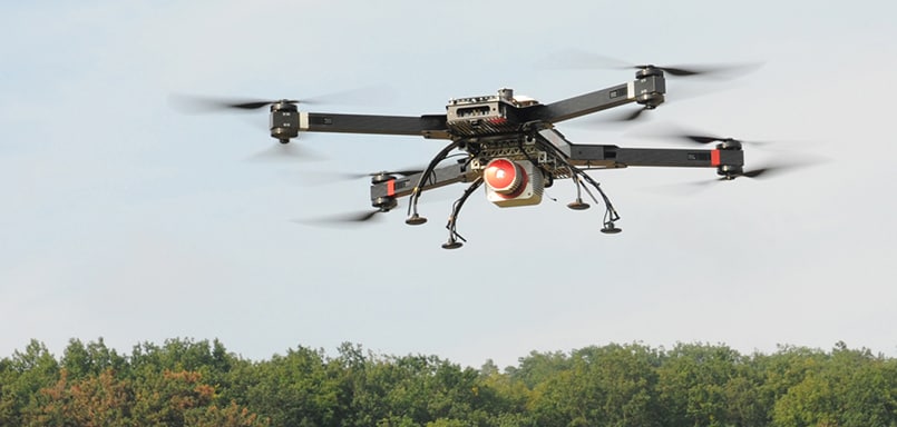
Drone LiDAR Sensors & Laser Scanners for Aerial Surveying, Mapping & Bathymetry

 Searching Companies & Products

 Subscribe to the Weekly eBrief
The latest engineering and technical developments straight to your inbox - join thousands of engineers who receive it.
Subscribe to the Weekly eBrief
The latest engineering and technical developments straight to your inbox - join thousands of engineers who receive it.


