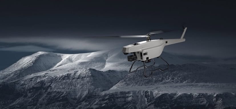
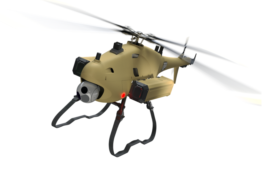
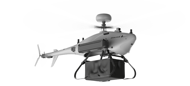
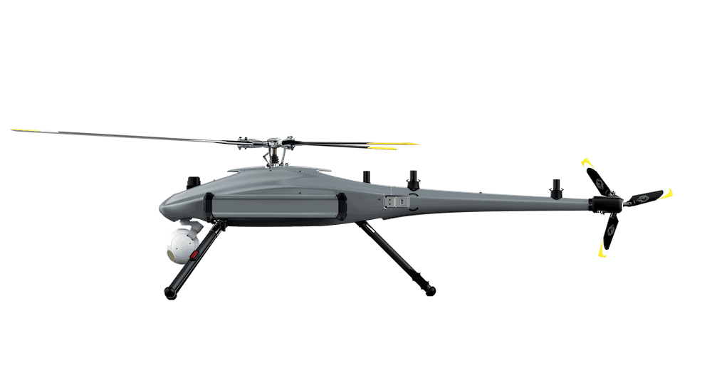
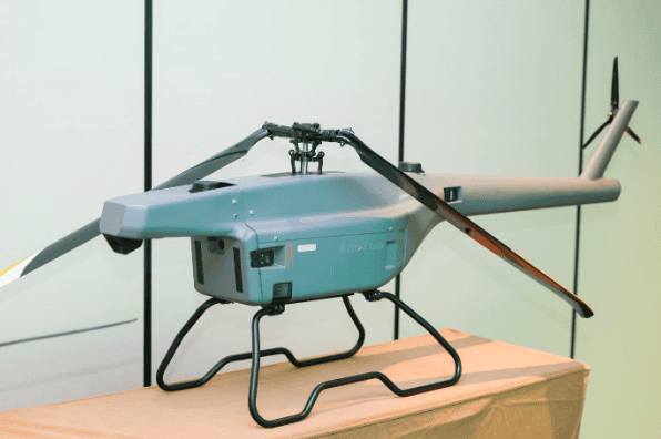
The F15 UAV from ZIYAN, equipped with CHCNAV’s high-precision LiDAR system, provides a fully automated aerial surveying workflow for professional use across forestry, mining, transportation, power, and land management sectors.
The integration combines ZIYAN’s electric helicopter platform with CHCNAV’s advanced LiDAR technology to deliver accurate, efficient, and repeatable data acquisition across complex and variable terrain.
Integrated Surveying Platform: F15 + CHCNAV LiDAR
The F15’s robust electric helicopter configuration supports high-end payloads, including CHCNAV’s LiDAR unit, to create a dependable data collection platform. The system generates dense point clouds with precise spatial resolution, maintaining performance in environments with significant topographical or vegetative variation. The platform supports random stakeout and one-step positioning, enabling surveyors to define target points directly in the field. This functionality reduces manual setup time, increases operational efficiency, and minimizes potential error during mission execution.
Automated Mission Workflow
The integrated F15 and CHCNAV LiDAR system supports full automation from mission planning through to data output:
- One-Key Unlock and Takeoff – With mission data uploaded, the UAV performs automatic unlock and takeoff for rapid and consistent deployment.
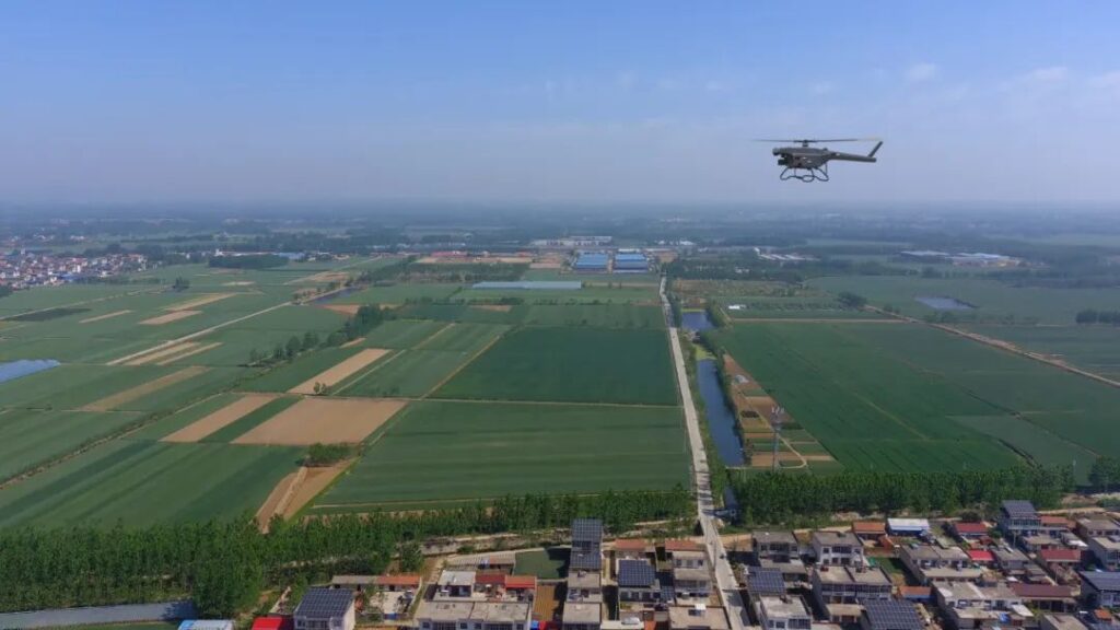
- Automatic Route Flight – The aircraft follows pre-set routes with high flight stability. The electric helicopter platform provides strong wind resistance and endurance for reliable operation in diverse conditions.
- LiDAR Automatic Sampling – CHCNAV’s LiDAR unit performs continuous point cloud acquisition, maintaining consistent scanning density and data fidelity across the survey area.

High-Precision Data Processing and 3D Modeling
Post-flight, the collected LiDAR data undergoes comprehensive point cloud processing and intelligent 3D modeling. The resulting outputs include high-density point clouds that capture fine detail across the survey area, along with detailed terrain reconstruction and accurate representations of both natural and built environments. These data products support realistic and highly accurate scene reconstruction, providing dependable datasets that can be directly applied to engineering design, planning, and analysis workflows.
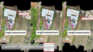
Multi-Dimensional Measurement Capabilities
The processed point cloud enables a wide range of measurement and analytical functions, allowing users to extract essential parameters directly from the dataset. Measurements can include angles, linear and distance values in both two and three dimensions, as well as area and projected area calculations. This flexibility allows a single mission to generate multiple data types, reducing the need for repeated flights and shortening overall project timelines while maintaining the required precision and consistency.
Comprehensive Deliverables from a Single Operation
The combination of ZIYAN’s F15 UAV and CHCNAV LiDAR provides a broad suite of professional surveying outputs, including colored point clouds, 3D surface models, topographic maps, and digital terrain and surface models (DTM/DSM). These outputs support applications such as forestry and mine surveying, topographic mapping, transport corridor analysis, and power line inspection.
The ZIYAN F15 UAV, integrated with CHCNAV LiDAR, provides a cohesive aerial surveying capability optimized for precision, automation, and reliability. From route planning through intelligent 3D modeling, the system simplifies complex surveying tasks and delivers consistent, high-quality geospatial data across a wide range of operational environments.