Black Swift Technologies has released the following article detailing how the company’s Black Swift S2 UAS (unmanned aerial vehicle), equipped with a custom payload, is being used to improve the management of wildfires in forested areas.
Aerial observations with manned aircraft remain an integral component to the management and suppression of wildfires. Yet operating in high-risk, low-altitude environments does not come without a cost. According to CDC’s National Institute for Occupational Safety and Health (NIOSH), 26.2% of all wildland firefighter fatalities in the United States were aviation related. In an effort to reduce the reliance on manned aerial operations the U.S. Department of Interior started flying unmanned aircraft systems (UAS) a decade ago to help map fires and determine their direction. The use of UAS to increase the efficiency of wildfire response efforts—which includes both active support during incidents to make better informed decisions, as well as improved models to aid in fire behavior and weather prediction continues to grow. However, current airspace regulations and concerns pertaining to interference with manned aircraft over wildfires limit the utility of UAS for wildfire management.
Full participation of UAS in the wildfire space requires specific solutions for data dissemination with a focus on information for airspace management as well as situational awareness, by integrating with common operating picture (COP) software packages. Black Swift Technologies of Boulder, CO is working with several of the leading software providers to develop a solution for wildland firefighting informed by the work already performed on UAS Traffic Management (UTM) in urban spaces by NASA, as well as BST’s own work in developing UAS for use in wildfire characterization, model refinement, and active fire surveillance.
Founded in 2011, Black Swift Technologies (BST) is recognized for delivering reliable, robust, and highly accurate UAS capable of flying scientific payloads in demanding atmospheric environments (high-altitude, arctic, desert, corrosive particulates, and strong turbulence). Its purpose-built scientific aerial platforms are used around the globe for a variety of specialized atmospheric research missions in extreme conditions, including monitoring and assessing wildland fires, volcanoes, tornadoes, and hurricanes.
Through a NASA SBIR funded effort, BST developed the Black Swift S2™ UAS, a platform designed specifically for earth observation campaigns, with a significant track record of successful missions in difficult and extreme conditions.
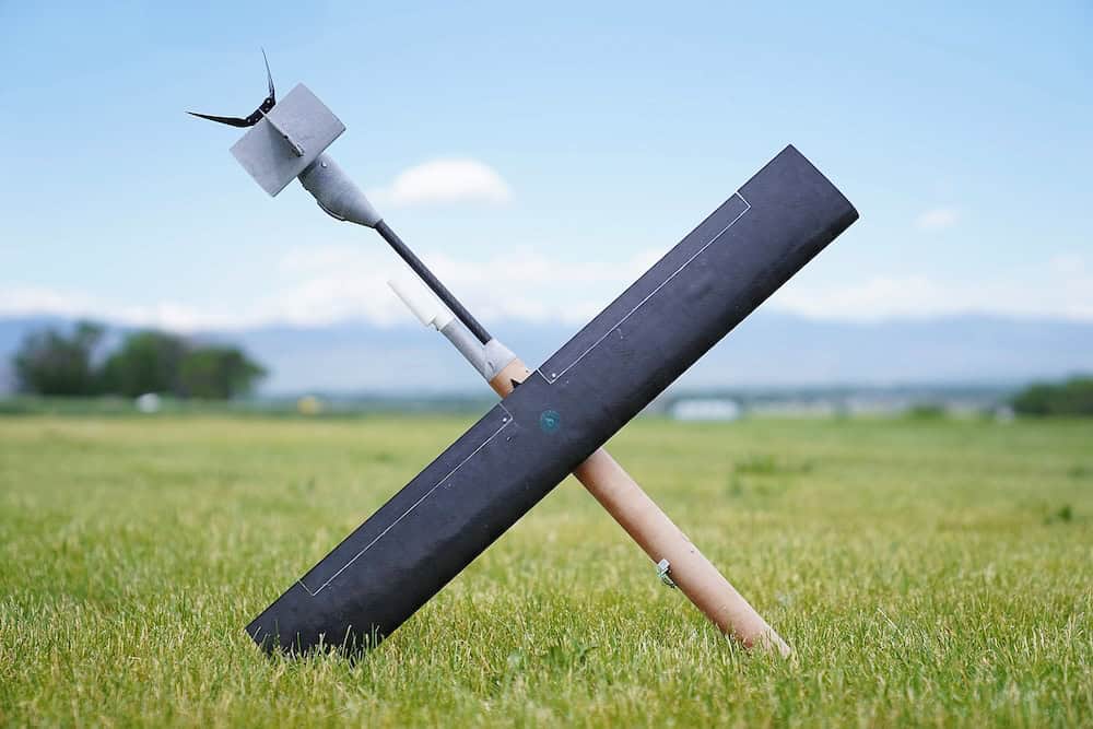
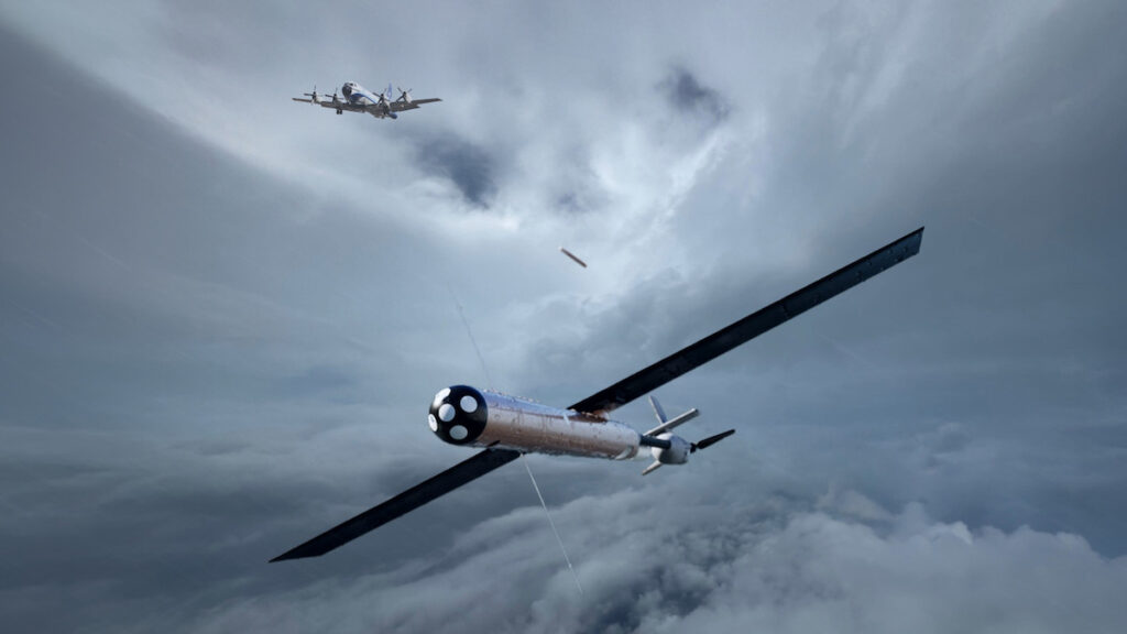
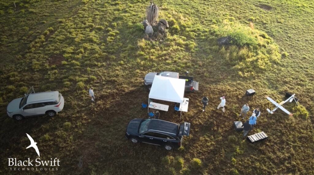
The S2-VTOL is a vertical takeoff and landing (VTOL) fixed-wing UAS (Figure 1) incorporating a custom payload intended to improve the management of wildfires on forest lands. Through the measurement and near real-time reporting of different hazardous airborne emissions, the system enables fire managers, health services, and researchers to address a range of fire and emission characteristics as well as perform forecasting on the effects to air quality.
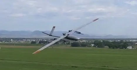
Figure 1: The Black Swift S2-VTOL in flight
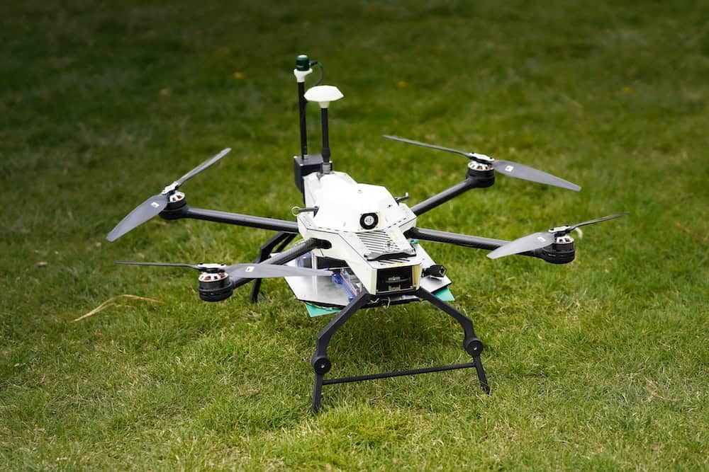
Through the measurement and near real-time reporting of different environmental conditions, the S2 will enable fire managers, health services, and researchers to address a range of fire and emission characteristics as well as perform forecasting on the effects of the fire, including the impact to air quality. BST’s solution is intended to provide a better picture of the current state of the fire, including data beyond the typical near real-time EO/IR imagery. Incorporated into this initiative are several technologies already developed by BST including trace gas and particulate measurement, soil moisture data, accurate real-time winds, and vegetation characterization sensors for UAS (Figure 2).
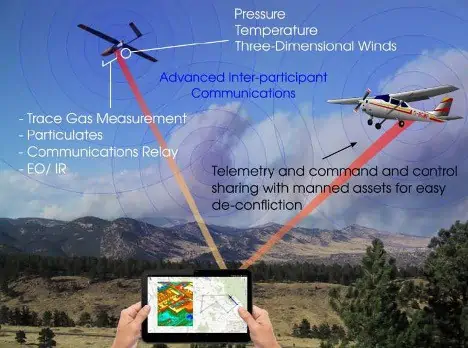
Figure 2: Integration of UAS into active wildfire operations
Looking Towards the Future
Current UAS platforms offer a range of applications for wildland firefighting, providing both data and imagery, with value extending well beyond simply the current ISR-centric role. New innovations enabling capabilities such as advanced air quality monitoring with small class drones has been until recently limited due to size/weight of instrumentation. New UAS sensor and aircraft technology can in general allow for better assessment of airborne hazards in regards to wildfire fighting activities and public information, better data for modeling airborne hazards from wildfires, and a tool for evaluating burn conditions (dryness, fuel load conditions and species, etc.) to improve control burn planning and pre-fire hazard assessment. UAS are not limited to providing in situ and remote sensing capabilities, as they can be employed as part of the containment solution, providing fire starting materials for backburns and targeting hot spots with retardant or water. Long endurance solutions can also provide communication relay capability, providing coverage where terrestrial networks are either non-functional or not available, and enabling voice and data communications vital to team safety and efficiency of management strategies.
Proven Operational Experience
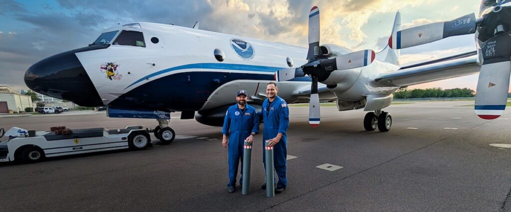
Unlike other UAS manufacturers, Black Swift Technologies has moved beyond proof-of-concepts to real-world operational scenarios. With BVLOS flights collecting photogrammetric images and trace gas measurements over the Makushin Volcano (2036 meters) from a base of operations 25km from the volcano, to research conducted in a variety of harsh environments typical of nomadic scientific field campaigns, BST has proven to be the UAS platform of choice for demanding organizations like NASA and NOAA. This experience in developing UAS platforms for accurate and reliable atmospheric measurements, which requires rigorous system integration expertise, gives them a distinct advantage in developing systems for wildfire applications.
BST has recently published a white paper outlining their vision and strategy for enhanced UAS integration into wildfire management and suppression. The white paper can be downloaded here.