


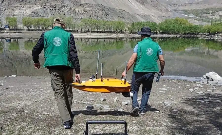
CHC Navigation has released a case study detailing how its Apache 3 Unmanned Surface Vehicle (USV), equipped with a single-beam echo sounder, was used to conduct a bathymetric survey in Tajikistan.
Read the full case study on CHC Navigation’s website>
The case study covers how Apache 3:
- Was used to estimate lake water volume and assess the impact of glacial lake outburst floods
- Helped surveyors map Tajikistan’s lakes’ digital underwater topography
- Provided valuable data for GIS analysis and flood modeling
The APACHE3 USV combines a dual GNSS positioning and heading sensor, a stable and reliable hull attitude and an IMU sensor, allowing uninterrupted survey. To find out more, read the full case study on CHC Navigation’s website.


