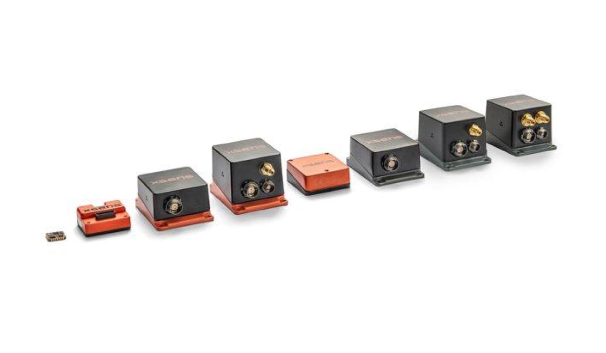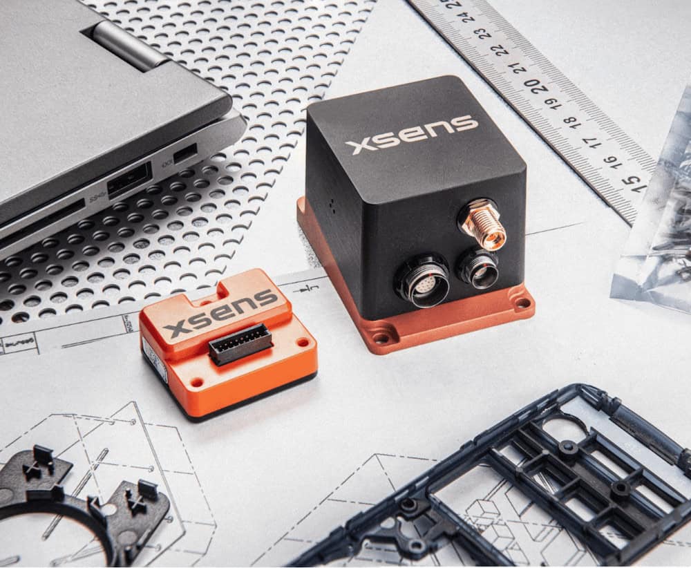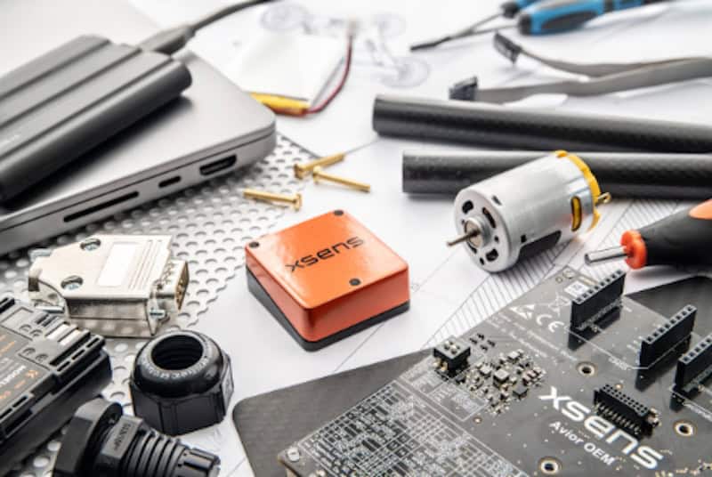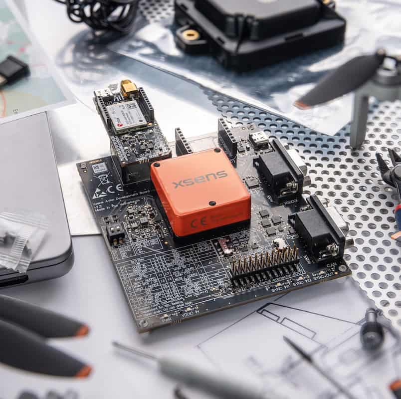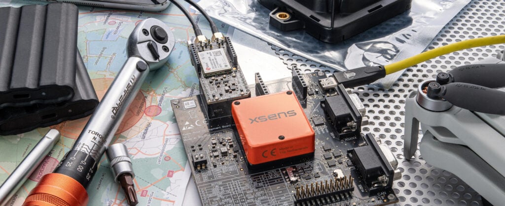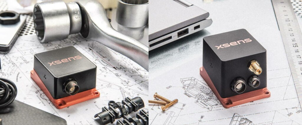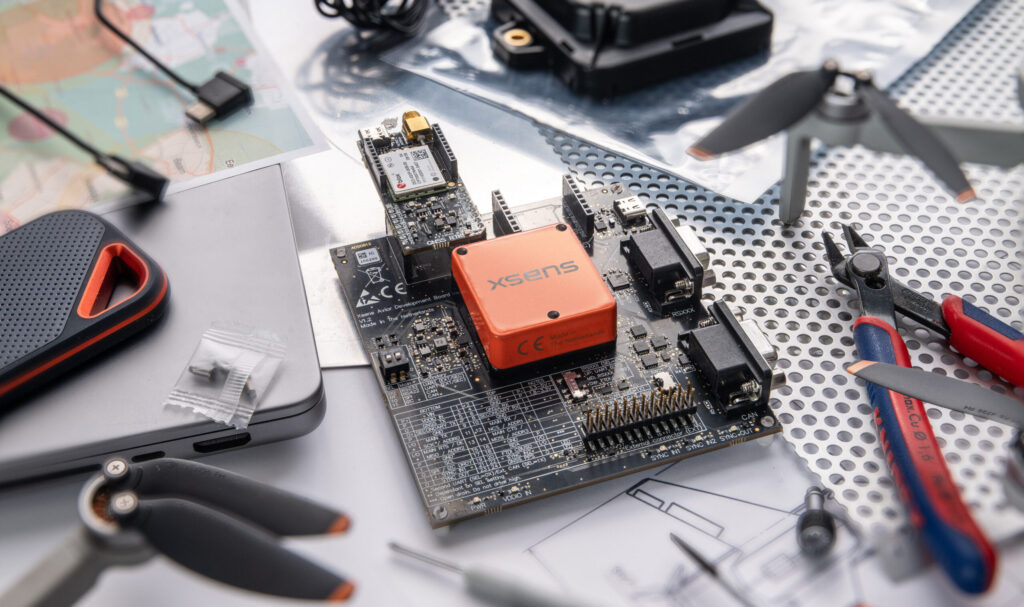
Xsens has introduced the Xsens Avior GNSS/INS and Xsens Avior RTK GNSS/INS, compact OEM modules designed to provide accurate orientation and GNSS-aided navigation for embedded and outdoor applications.
The new Avior portfolio extends the company’s highest-performing OEM inertial platform from 3D orientation to 3D global positioning. The modules combine advanced sensing components, refined sensor fusion and u-blox GNSS receivers within a robust aluminum housing.
Their low SWaP-C design is intended for applications where integration flexibility and navigation performance are important. These include drones, outdoor mobile robots, autonomous systems, payload and platform stabilization, marine surface platforms, surveying and mapping.
Martijn, Product Manager at Xsens, commented, “Xsens Avior GNSS/INS represents the next step in our OEM navigation portfolio. It brings our highest-performing OEM inertial platform together with new generation GNSS technology in a compact, robust design that is easy to integrate. With the RTK variant, customers can also access centimeter-level positioning capabilities for applications that require greater accuracy and positioning continuity.”
GNSS and RTK Performance
The standard Xsens Avior GNSS/INS uses the u-blox MAX-F10S dual-band GNSS receiver, supporting all major GNSS constellations simultaneously to improve satellite visibility and provide robust position, velocity and time data.
The RTK model uses the quad-band u-blox ZED-X20P receiver with Real-Time Kinematic support. It is designed to improve positioning continuity and RTK availability in real-world outdoor conditions, supporting centimeter-level positioning, stronger satellite availability, improved multipath resilience, faster RTK convergence, faster re-acquisition following signal loss, and compatibility with PointPerfect and the Galileo High Accuracy Service.
Key Specifications
- Roll and pitch accuracy: 0.2° RMS
- Yaw/heading accuracy: 0.8° RMS for the Xsens Avior GNSS/INS and 0.5° RMS for RTK GNSS/INS
- Position accuracy: 1 m CEP for the standard model and centimeter-level positioning for RTK
- Gyroscope bias stability: 8°/h
- Accelerometer bias stability: 15 µg
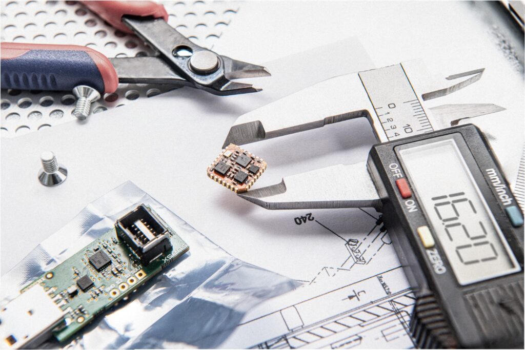
- Dimensions: 36.8 x 40 x 15.7 mm
- Weight: 35.2 g
- Power consumption: less than 0.5 W
Integration and Navigation Outputs
Supported interfaces include:
- UART
- SPI
- I2C
- CAN
- CAN-FD
- A second UART interface
CAN-FD enables higher-bandwidth communication, while CAN input control messages make it easier for host systems to interact with the module.
An available development kit provides access to all supported interfaces and allows simultaneous data streaming, helping engineering teams evaluate configurations, validate communication paths and test integration options before deeper subsystem integration.
The modules also provide covariance outputs with real-time uncertainty estimates for orientation and position. This allows downstream localization, state-estimation and sensor-fusion systems to apply appropriate weighting to the data.
For marine applications, the Xsens Avior MRU configuration provides real-time heave output for marine robotics, offshore systems, unmanned surface vessels and vessel-based measurement platforms.
Software Compatibility and Availability
Xsens Avior is compatible with the established Xsens software ecosystem, including:
- MT Software Suite
- C++, C# and Python software development kits
- MATLAB support
- ROS 1 and ROS 2 drivers
For existing Xsens customers, the platform provides an upgrade path from the MTi-670 and MTi-680 generation, adding higher inertial performance, newer GNSS technology, broader interface support and greater integration flexibility.
The Xsens Avior GNSS/INS and Xsens Avior RTK GNSS/INS are available for evaluation, with development kits also available.