


The integration of video photogrammetry into the CHCNAV i89 represents a significant leap forward in achieving comprehensive 3D mapping and surveying. This integration effectively bridges 3D GNSS IMU-RTK surveying and 3D LiDAR + RGB airborne surveying, combining complementary data sources for a more accurate visual representation.
The i89 features a 1408-channel full-GNSS module and integrated SoC. Its narrow-band multipath mitigation technology improves data quality by over 20%, ensuring accurate RTK measurements, and its hybrid GNSS engine provides excellent accuracy and reliability.
Equipped with CHC Navigation’s latest dynamic panoramic image capture mode, the i89 enables 3D modeling of buildings and facades, as well as the extraction of survey-grade 3D coordinates from real video, making it possible to accurately measure points where GNSS signals are obstructed, or access is difficult or unsafe. The i89 also allows drone data to be merged with GNSS RTK data for effective 3D modeling, overcoming the typical rendering distortions associated with drone-mounted cameras. The i89’s compatibility with industry-standard 3D modeling software ensures flexibility and convenience for users.
The i89’s built-in, interference-free 200 Hz Auto-IMU eliminates the need for manual initialization and provides reliable measurements. Automatic pole tilt compensation guarantees accuracy within 3 cm over a 60-degree tilt range. By tightly integrating vision and inertial measurement, the i89 supports Augmented Reality navigation and Virtual Pole Tip (VPT) stakeout, providing significant time savings for operators of all experience levels.
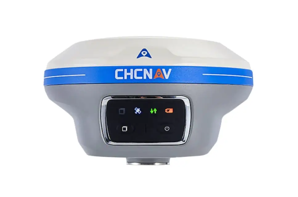
The i89 weighs just 750 grams and seamlessly integrates GNSS, IMU, and two cameras into a pocket-sized, IP68-rated receiver that can withstand a 2-meter drop from a survey pole. Its battery provides up to 16.5 hours of autonomy, and its intelligent 18W fast charge provides a full charge in just 3 hours, increasing operational efficiency and further extending battery life.
Rachel Wang, product manager at CHC Navigation, commented: “The i89 Visual GNSS Rover is an ideal solution for surveyors looking to perform high-precision 3D surveying and modeling tasks quickly, accurately, and cost-effectively. In the era of convergence towards 3D surveying, mapping, and engineering, the CHCNAV Visual GNSS RTK Series is proving to be the affordable ‘must have’ surveying system that enables field crews to perform a wide range of tasks from simple point measurement to complex volume calculation and joint 3D reality capture.”


