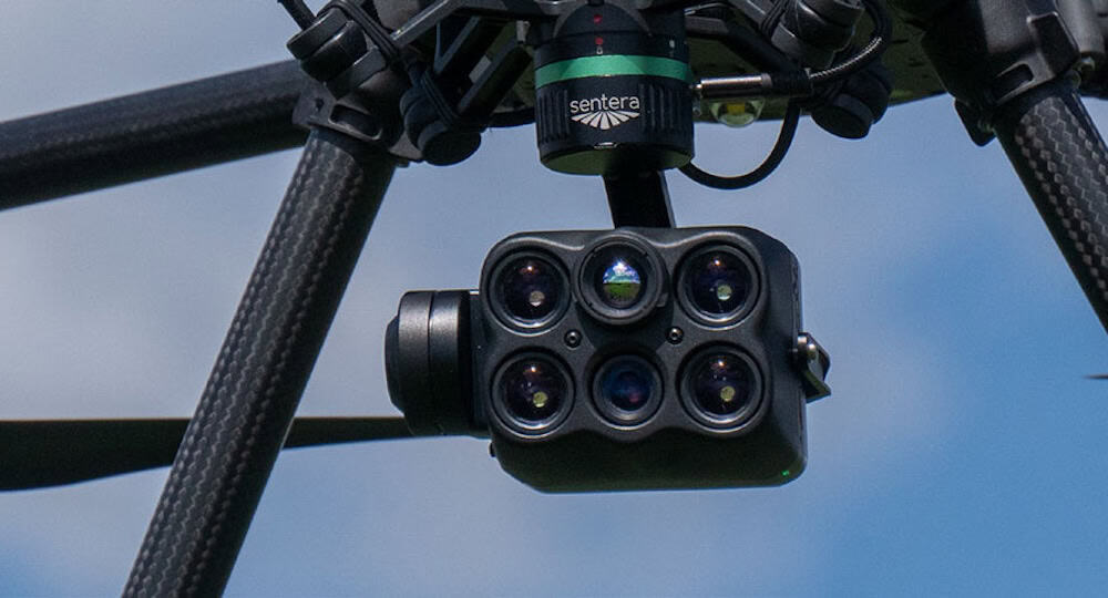
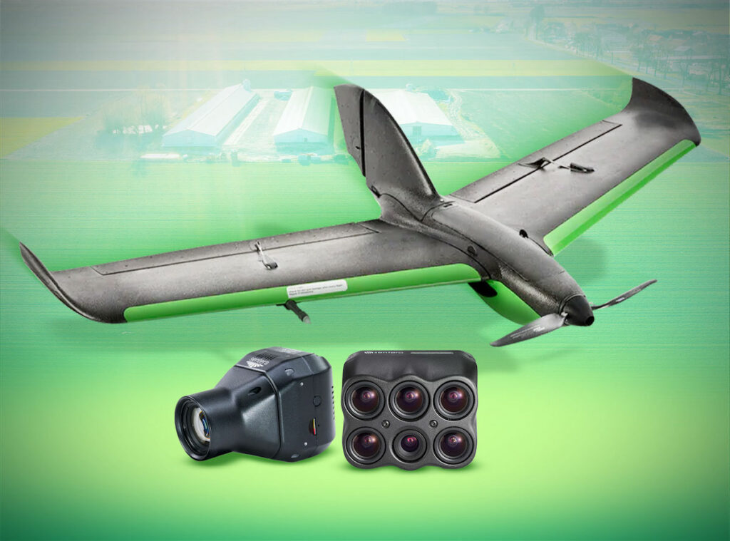
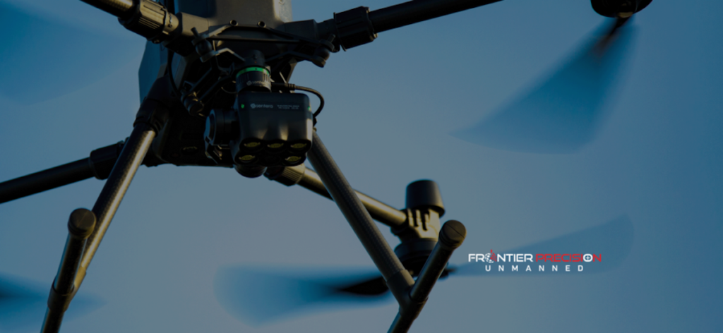
Sentera highlights the use of its multispectral imaging technology in an agricultural monitoring example shared by Inspired Flight. The case study demonstrates how the Sentera 6X Multispectral sensor was utilized alongside the IF800 Tomcat UAV to survey an 8.47-acre baby lettuce field.
The deployment showcases how multispectral and RGB imagery can provide an aerial perspective of crop conditions, enabling the identification of plant gaps, uneven development, and other field-level variability that may not be visible from ground level. These insights support more precise and timely management decisions during early growth stages.
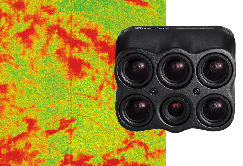
Data captured by the sensor enabled analysis using indices such as the Chlorophyll Index Green (CIG) and Normalized Difference Vegetation Index (NDVI). CIG supports evaluation of chlorophyll content, which is closely linked to nitrogen levels, while NDVI provides a measure of overall vegetation health and biomass distribution. Together, these metrics allow growers to assess crop performance and identify areas that may require targeted intervention.
The example also illustrates how multispectral data can contribute to applications such as fertilizer optimization, irrigation planning, and early identification of crop stress related to environmental conditions, pests, or disease.
This use case reflects how Sentera’s sensor technology can be integrated with UAV platforms to generate actionable agronomic insights. Further details on the project can be found in our coverage, Obtaining Multispectral Data with Drones for Precision Agriculture.