Dronetag partnered with the City of Helsinki to carry out a pilot study of its Dronetag Scout detection system, monitoring drone operations in the city.

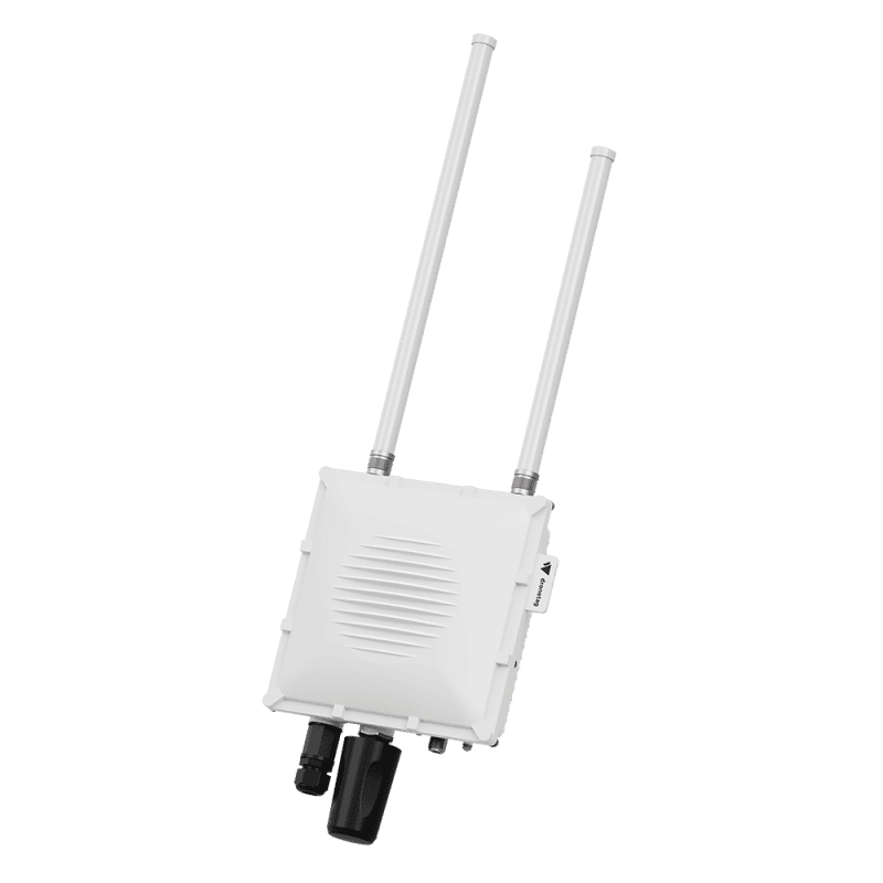
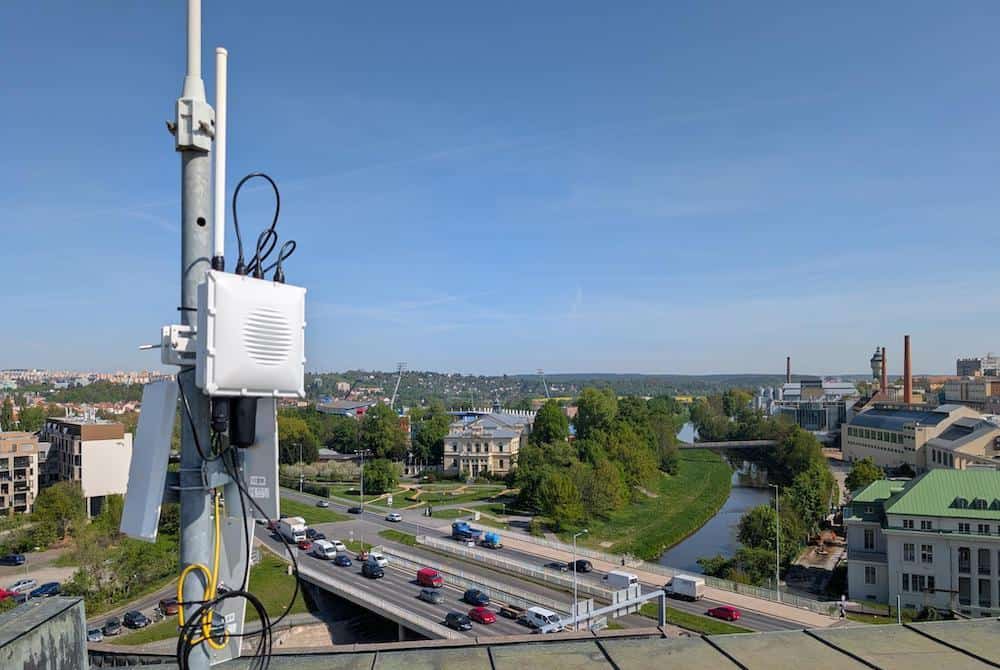
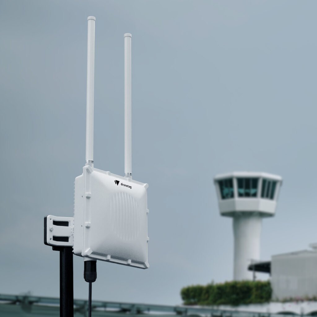
The test involved a single Scout unit with dual omnidirectional antennas, positioned in a coastal area close to the city center. The chosen location was representative of mixed-use airspace, relevant to both public authorities and private operators. Although winter conditions limited overall drone usage, the study yielded meaningful data on activity density, pilot practices, and typical flight zones.
Flight Activity and Timing
Over the four-month period, the Scout recorded 150 drone flights, averaging 38 flights per month and about two flights per day. The busiest day saw eight separate flights. Activity was highest on Tuesdays and Wednesdays, with operations most commonly conducted between 8:00 AM and 2:00 PM. The busiest hour was between 8:00 and 9:00 AM, while no flights were detected during the late night or early morning hours between 12:00–1:00 AM and 5:00–6:00 AM.
Distances and Altitudes
The system tracked drones at distances ranging from 46 to 7014 meters. More than half of the flights occurred within 500 meters of the Scout, while about one-third were detected between 501 and 1500 meters.
With respect to altitude, the maximum recorded flight reached 231.5 meters, well above the EU limit of 120 meters. In total, 13% of flights exceeded this regulatory ceiling.
Drone Types

Operator Behavior
Analysis of flight patterns revealed that 20% of flights were conducted by drones that appeared more than once. The majority of repeat appearances were in the 2–5 flight range, although one drone was recorded conducting 13 separate flights.
Compliance with Remote ID rules was found to be limited. Only 13% of detected drones transmitted a valid UAS Operator ID, leaving 87% without this identifier.
Key Insights

The findings suggest that most urban flights are linked to professional use cases, such as construction surveys, while occasional night flights may reflect emergency service operations. For city authorities and aviation stakeholders, the study provides a detailed view of how drones are currently being deployed in an urban setting and offers a foundation for future unmanned traffic management strategies.