Sonardyne and SeaTrac Systems, in collaboration with the University of Rhode Island (URI), completed a project proving that advanced sensors and Uncrewed Surface Vehicles (USVs) can deliver science-ready data on deep ocean currents directly to researchers.

The project, funded by the U.S. National Academies of Sciences, Engineering and Medicine’s Gulf Research Program, focused on the Gulf of Mexico’s Loop Current System (LCS) during Fall 2025. This approach enables reliable, sustained, and high-resolution observations of dynamic ocean systems without the need for traditional, crewed research vessels, which could improve scientists’ ability to refine predictive models. Improved models will help both science and industry mitigate hazards posed by disruptive deep ocean currents.
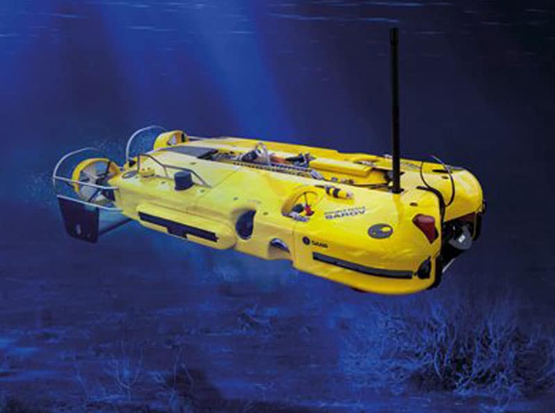
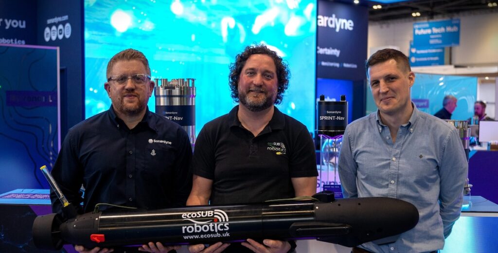
The collaboration utilized Sonardyne’s Origin 65 seabed Acoustic Doppler current profilers (ADCPs) and a SeaTrac SP-48 USV to collect current profile data from the LCS. Over 18 months, four Origin 65s and five pressure inverted echosounders were deployed in water depths ranging from 1,800 to 3,200 meters, approximately 200 nautical miles off the coast of Louisiana in the heart of the LCS.
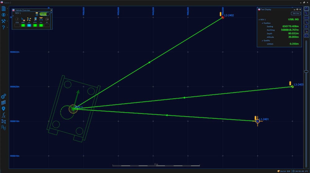
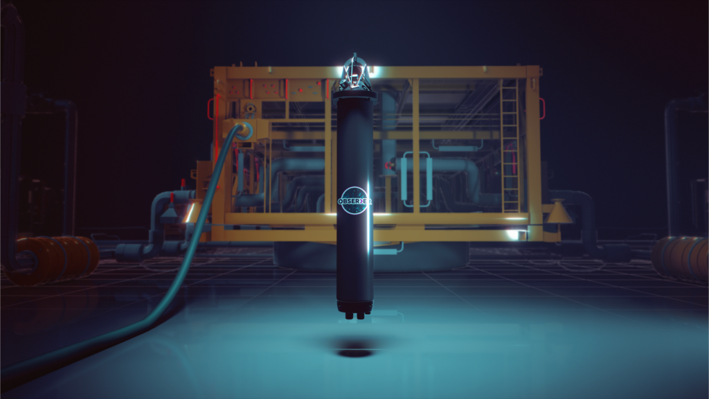
The Origin 65 is a deepwater profiling ADCP rated to 4,100 meters, capable of profiling up to an 800 meter range in high resolution. It also includes pressure inverted echo sounder (PIES) functionality and integrated Edge processing and an acoustic modem. This functionality allowed data to be harvested acoustically from the surface by SeaTrac’s remotely piloted USV using a Sonardyne HPT 7000 transceiver.

The solar and battery powered SP-48 USV was tasked with navigating the variable ocean currents and weather to reach the sensor locations and harvest the data. It then transmitted the science-ready data to shore via its dual Iridium and Starlink satellite links, which also enabled real-time, high-data rate communication back to shore. Across three deployments spanning more than 30 days, the SP-48—which can sustain operations at 2 to 3 knots and sprint up to 5 knots, covered approximately 1,500 nautical miles. Over 135 GB of high-resolution ocean current and related parameter data, measured up to 800 meters above the seafloor, was harvested during this period.
Randy Watts, Professor of Oceanography at URI, commented, “Sustained deep-ocean measurements remain rare despite their importance. This project demonstrates how commercially available instruments and uncrewed vehicles can deliver science-ready data in strong current systems – overcoming the dual challenges of station-keeping where most USVs fail and cost-effective deployment without expensive research vessels.”
Michelle Barnett, Business Development Manager for Ocean Science at Sonardyne, stated. “With SeaTrac, we’ve proven that long-term, persistent monitoring of powerful and dynamic ocean systems with USVs instead of traditional vessels is now a reality. Remote-commanded systems can reliably deliver the high-quality oceanographic data researchers and industry need, when they need it with lower operational costs than traditional vessels.”
Hobie Boeschenstein, Director of Operations and Business Development at SeaTrac, added “This mission has demonstrated a new global precedent for using USVs to make critical, sustained ocean data accessible, consistently – with zero crew risk, zero emissions and a repeatable approach we can scale to other regions.

“Completion of this project marks another successful demonstration of USVs in offshore data collection and marine science. Deploying advanced technologies like those from SeaTrac and Sonardyne is key to deepening our understanding of the world’s oceans. There is still so much to explore, and our teams are proud to help scientists safely reach and study some of the most challenging marine environments on Earth.”
The data gathered will be used to improve models that forecast currents such as topographic Rossby waves, providing critical insights for science and safety in the region and opening new avenues for future research. This project demonstrates a scalable model for autonomous ocean observation globally, showing how marine autonomy can deliver near real-time data to enhance the prediction of and safety against disruptive deep currents, such as those that can threaten offshore infrastructure, while also improving scientific understanding of ocean circulation and climate processes.