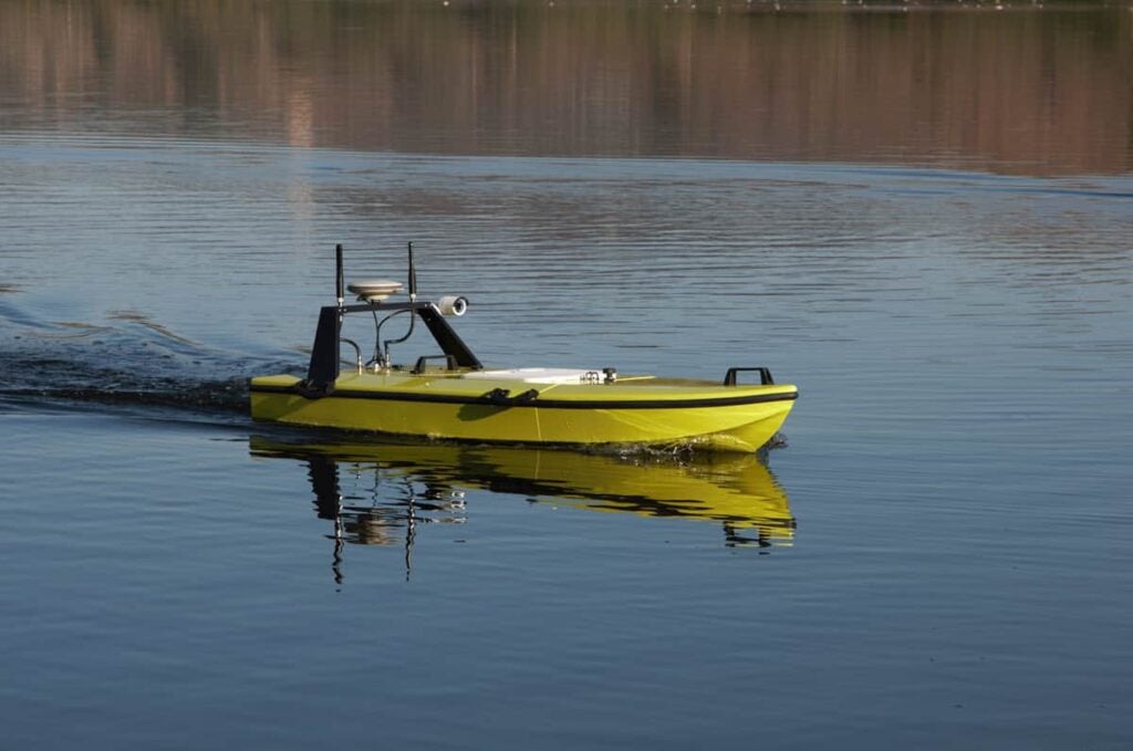
Dynautics’ SPECTRE autopilot has been integrated into a USV (unmanned surface vessel) developed by CEE HydroSystems to meet customer demand for an efficient, easy-to-use hydrographic survey platform.
The CEE-USV incorporates the proprietary CEE-PILOT autonomous waypoint navigation controller, which uses an onboard SPECTRE control module running advanced algorithms that take in high-rate GNSS data and inertial data to provide high-precision path following.
CEE HydroSystems has released a case study highlighting the benefits of using an autonomous USV platform, providing results from a survey of a lagoon that show the consistency and quality of the CEE-USV with SPECTRE autopilot.
Read the full case study on Dynautics’ website here
Survey routes for the CEE-USV can be planned in the field via software which then transfers the route waypoints over a telemetry link to the SPECTRE autopilot. The USV can then be switched into autonomous mode to immediately begin surveying.
Conditions for the lagoon survey were mostly calm with light winds and no current. This allowed the USV to follow a 20ft spaced line plan with high precision. The typical cross-track error achieved when on line was under 15cm (6”) with even end-of-line turns being performed without excessive distance off the survey route. The USV also automatically corrected drift caused by tidal inflow, using increased thrust and rudder deflection to get back on track with a maximum drift of only 1.4m (4.5ft).
The case study also shows how, thanks to equidistant survey lines and consistent coverage, the final bathymetry results were not subject to artifacts from irregular coverage that might otherwise be present, particularly in USV data. The data consistency is demonstrated in a 3D rendering of the modelled XYZ surface.
To find out more about the high-consistency and high-accuracy survey results gained by the SPECTRE autopilot-enabled USV, read the full case study here.


