iXblue Develops Inertial Navigation & Positioning Technology for Unmanned Systems
exailNewsBy Mike Ball / 08 Aug 2020
Follow UST
Share this
iXblue, a leading designer and manufacturer of advanced navigation, positioning, imaging and autonomy technologies, has partnered with Unmanned Systems Technology (“UST”) to demonstrate their expertise in this field. The ‘Platinum’ profile highlights how their state-of-the-art inertial, acoustic and autonomy systems can be used for AUVs (autonomous underwater vehicles), ROVs (remotely operated vehicles) and USVs (unmanned surface vessels) in applications such as geoscience, maritime, defense, and oil and gas.
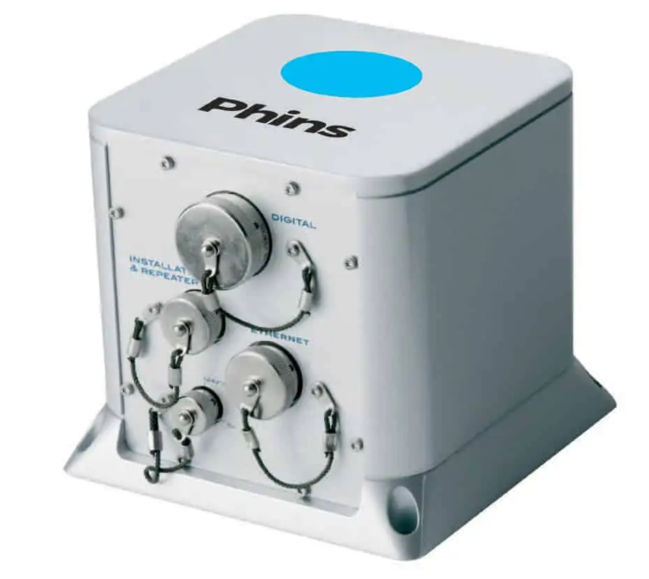
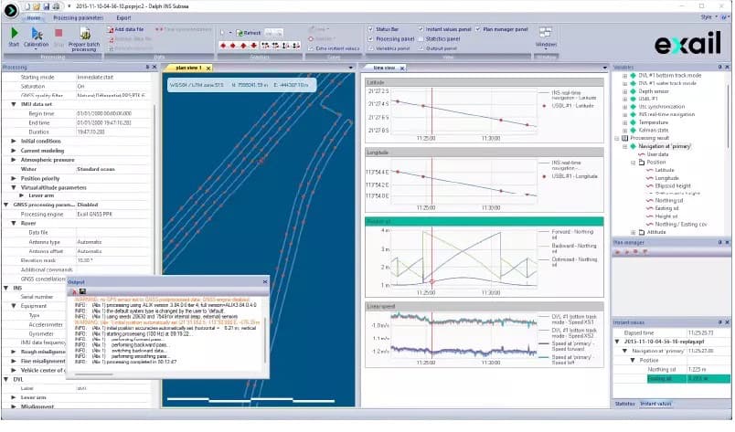
iXblue provides fiber-optic based attitude and heading reference systems (AHRS) and Inertial Navigation Systems (INS) for a wide range of civil applications, including both surface and subsea unmanned systems. Inertial navigation solutions are also available for naval systems as well as land robotics applications such as UGVs, tactical navigation and weapons systems pointing.
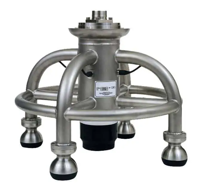
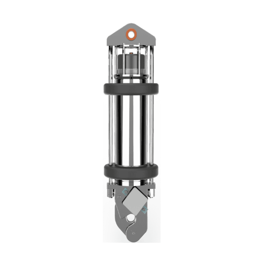
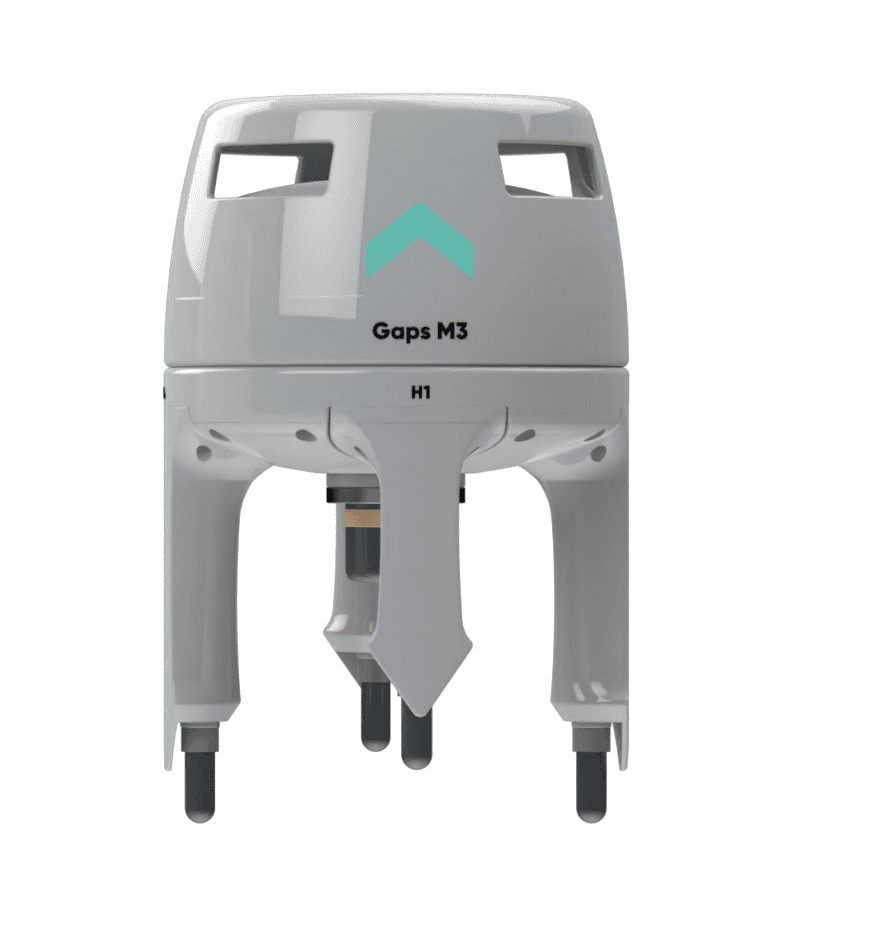
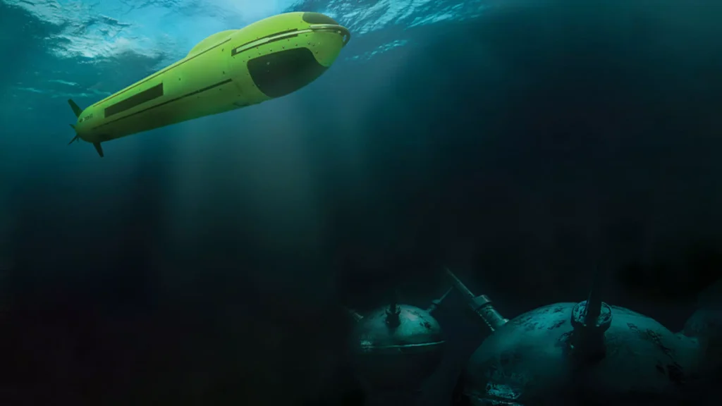
iXblue’s acoustic positioning and communications solutions include high-accuracy USBL systems for location, positioning and tracking of subsea assets such as ROVs and AUVs, from ultra-shallow to deep water depths. LBL transceivers and transponders are also available, and can be combined with a subsea INS to provide sparse-LBL navigation, requiring fewer transponders without sacrificing performance.
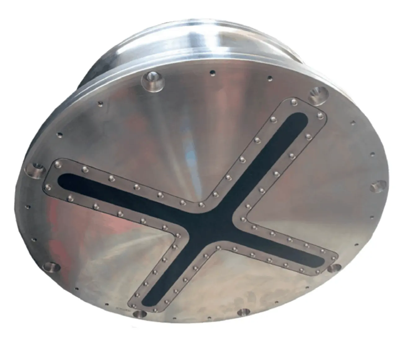
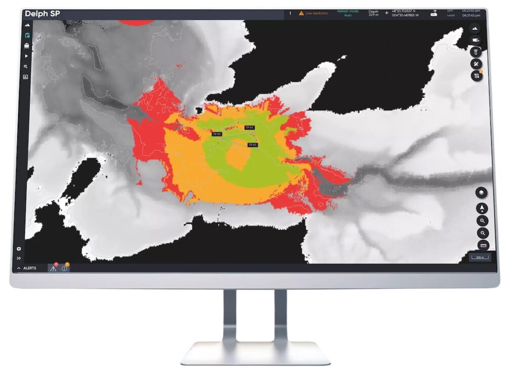
The FLS Series of mine and obstacle avoidance sonars features real-time 3D detection and geo-referencing, with an embedded IMU for optimized stabilization. Two versions are available: the compact FSL150 for smaller ships and USVs, and the FLS 60 for larger vessels and unmanned underwater vehicles.
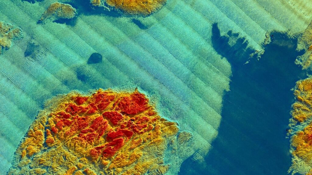
iXblue’s seabed mapping solutions include compact 3D multibeam sonar systems for fishery, scientific research and marine environmental monitoring as well as high-precision marine works. Synthetic aperture mapping sonars are also available with integrated positioning and navigation capabilities, providing superior georeferenced imaging performance for hydrographic surveying applications. SAMS sonars are available as towfish platforms or as an OEM package for integration into AUVs and ROVs.
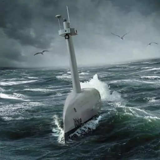
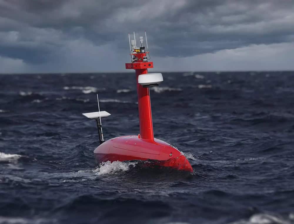
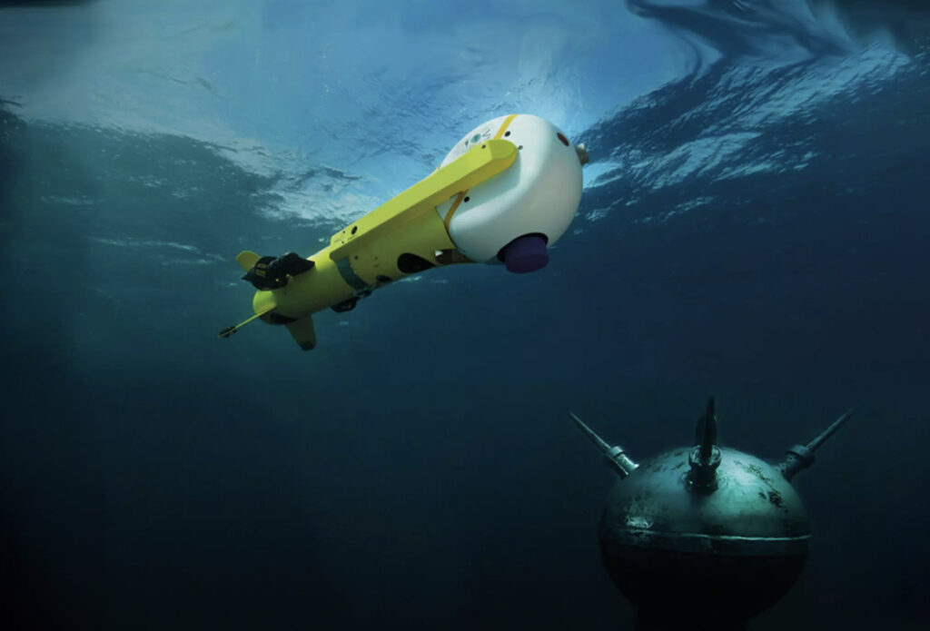
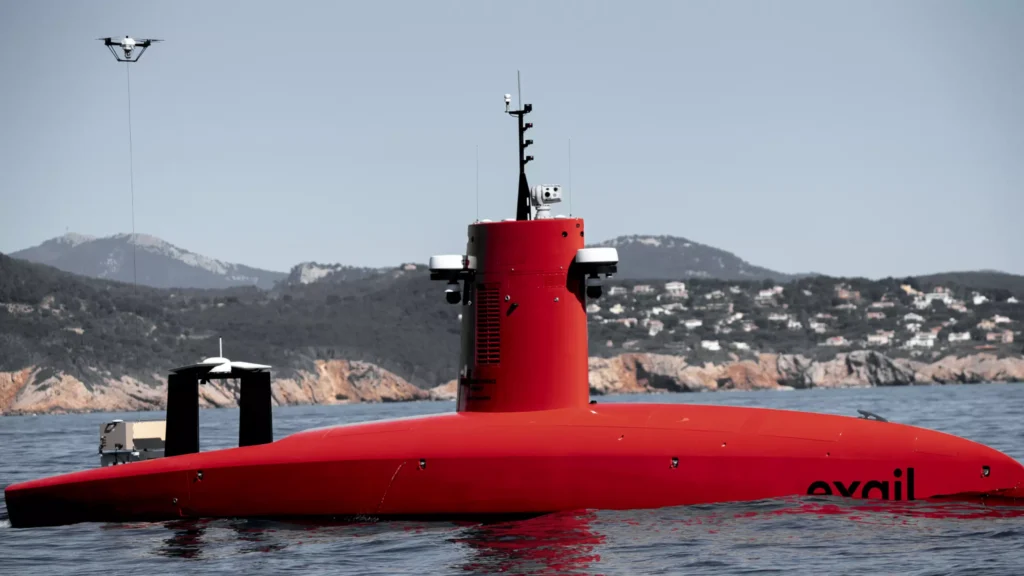
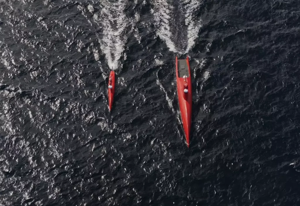
The DriX USV is a long-endurance autonomous surface vessel with both manual and autonomous operation modes that can be equipped with a variety of payloads, including towed-array and side-scan sonars, USBLs, LiDAR and optical sensors. The 7.7 metre-long vessel can be adapted for geoscientific, bathymetric and offshore energy surveying applications as well as naval missions.
iXblue has developed a series of autonomy solutions for unmanned vehicles. The Cetos Dronekit provides advanced high-accuracy maritime positioning, guidance and collision avoidance capabilities for USVs, while the Oryx Dronekit utilises AI and multi-sensor perception to provide accurate positioning and guidance for ground robotics in both indoor and outdoor environments.
Posted byMike BallMike Ball is our resident technical editor here at Unmanned Systems Technology. Combining his passion for teaching, advanced engineering and all things unmanned, Mike keeps a watchful eye over everything related to the unmanned technical sector. With over 10 years’ experience in the unmanned field and a degree in engineering, Mike’s been heading up our technical team here for the last 8 years.Connect
Through a new framework agreement for hundreds of drone warheads, Exail secures a sovereign French supply chain to meet the urgent global demand for high-intensity naval warfare systems
Recent sea trials demonstrate how Exail is expanding over-the-horizon maritime surveillance through the seamless integration of third-party drone and camera technologies
L&T and Exail will provide the Indian Navy with an advanced unmanned mine countermeasures suite for the country’s future Mine Countermeasure Vessels programme, supporting autonomous naval mine detection and neutralisation
OMS Group has acquired a second Exail DriX O-16 USV to expand its autonomous seabed survey capabilities, supporting global subsea cable installation and monitoring activities amid growing subsea infrastructure demand
Shom has selected Exail’s DriX H-9 USV to expand civil and military hydrographic data collection, building on earlier H-8 deployments and accelerating fleet dronization
Jan 15, 2026
Advancing Unmanned Systems Through Strategic Collaboration
UST works with major OEMs to foster collaboration and increase engagement with SMEs, to accelerate innovation and drive unmanned systems capabilities forward.