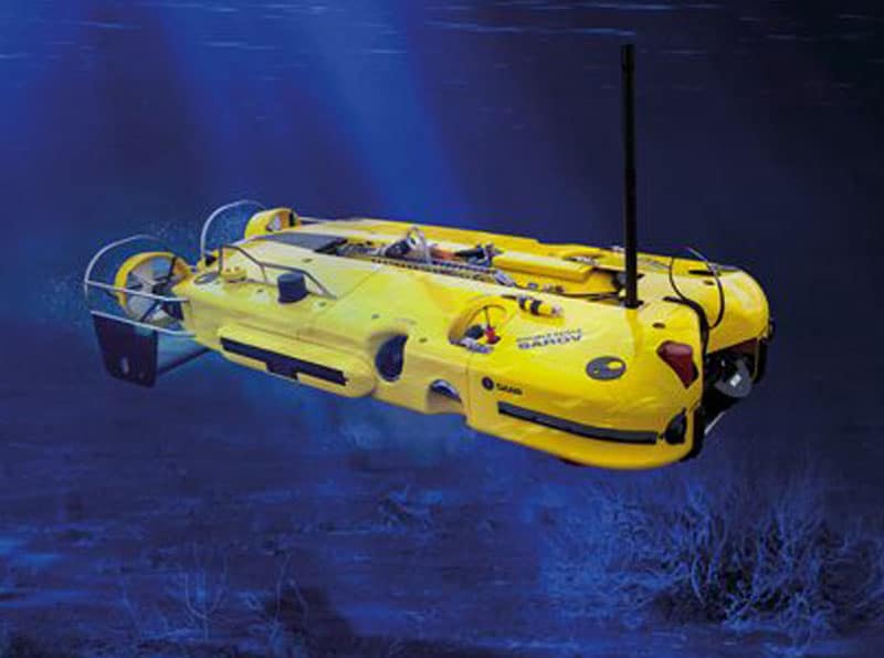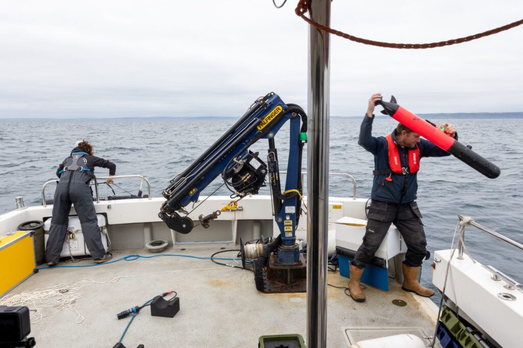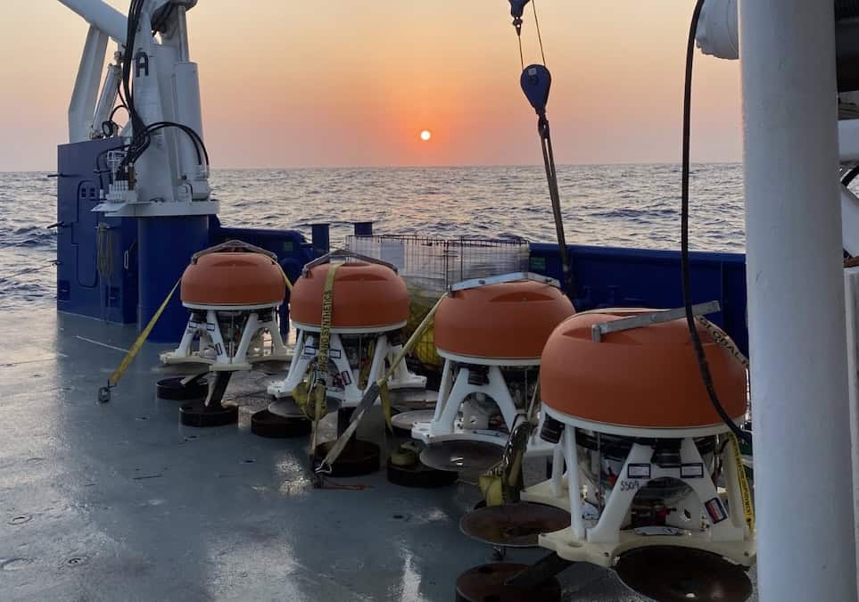
For the survey, the ROV was equipped and navigated using Sonardyne’s inertial navigation sensor, SPRINT, interfaced with a Syrinx 600 kHz DVL, ROVNav 6 LBL transceiver and a precision pressure sensor. EIVA’s hydrographic survey and navigation software was integrated with the ULS-500 using EIVA’s dedicated driver for 2G Robotics’ systems to facilitate with data capturing and post-processing.
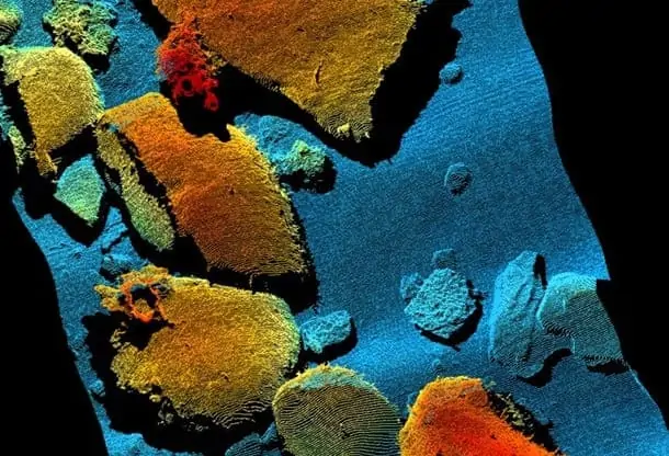
Sonardyne noted that laser mobile mapping is dramatically faster than static scanning, enabling wide areas to be covered quickly and efficiently whilst capturing extremely high resolution 3D models of the seabed.
2G Robotics founder and CEO, Jason Gillham noted: “We have been performing subsea vehicle integrations and providing dynamic scanning support since 2012. We have completed numerous AUV, survey class ROV, and work class ROV installations on customer-owned vehicles worldwide. Our ULS-500 system has been specifically developed for dynamic scanning with a focus on high sample rates, timing synchronization, and continuous data acquisition for faster, more efficient inspections.”
Underwater laser scanning is an emerging technology that continues to provide accuracy, precision, and cost efficiency improvements for subsea surveys and inspections. 2G Robotics’ underwater laser scanners generate true-scale, high-resolution 3D models in real-time of underwater structures, organisms, and environments. The high point density of 2G Robotics’ data effectively resolves fine-scale dimensional features that acoustic and photographic methods fail to capture, allowing for a more detailed understanding and measure of structural and environmental complexity.