
Developed for 3D surveying, YellowScan® has been designed to be the lightest all-in-one LiDAR in the world, whilst being highly efficient and easy-to-use. It can be mounted on rotor or fixed-wing UAVs and is operational up to 75 meters. Developed with input from researchers and professionals in several industries such as construction, surveying and mining, YellowScan® delivers a highly dense point cloud accurate to 10/15 centimeter. This comprehensive solution includes a LiDAR with a ±50 degree angle that measures 40,000 points per second, an Ellipse-E inertial navigation system coupled with a centimeter-level RTK GPS, an on-board computer, and an integrated battery.
Once mounted on the drone, the user pushes the yellow button and YellowScan® is ready to survey. LED lights give useful information on YellowScan® state, for instance if the GPS is receiving RTK corrections or not. The user can launch the UAV and begins the survey. Once the task accomplished, a USB stick is used for downloading the data. An office software is also delivered to visualize the point cloud in a few clicks, before opening it in an industry specific software like Terrasolid, AutoCAD, ESRI, etc.
THE ELLIPSE-E FOR MOTION COMPENSATION AND DATA GEOREFERENCING

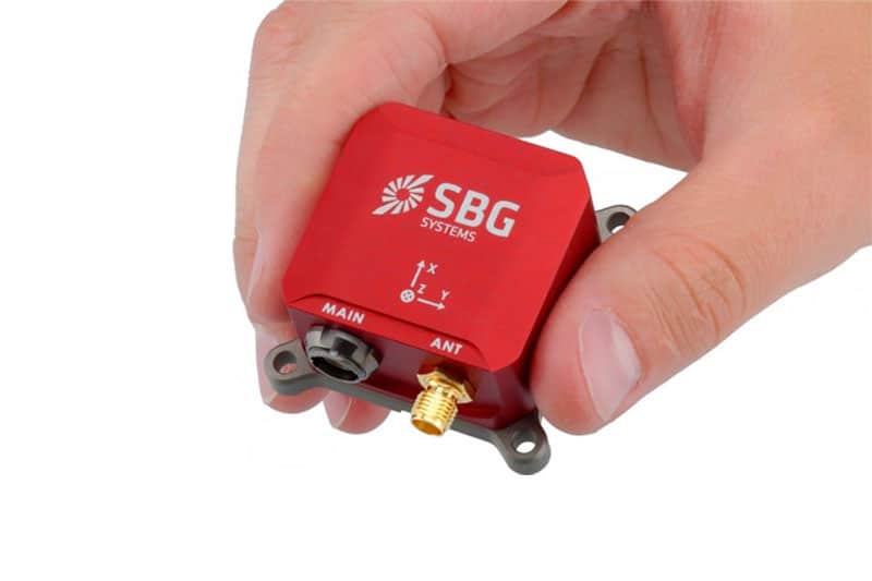
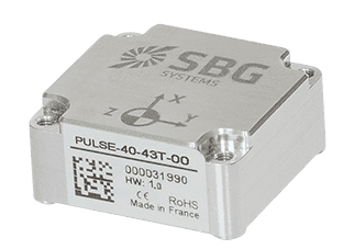
The Ellipse-E miniature inertial navigation system
YellowScan® research and development team was searching for a high performance, light, and ITAR free inertial navigation system for motion compensation and data georeferencing. They tested the Ellipse-E, the new miniature inertial navigation systems from SBG. Weighting only 12 grams as OEM version, it provides roll and pitch data accurate to 0.2 degree. The heading is accurate to 0.5° with only one antenna. Indeed, the heading computation relies on GPS and accelerometers data. This method is used when GPS positioning is widely available and punctuated by frequent accelerations like turns. The R&D team found the test results very satisfying, and a point cloud highly clean We are very satisfied with this little Ellipse-E, it perfectly matches our technical needs, and we even gained 5% on the total weight of the YellowScan® to conclude Tristan Allouis, CTO at YellowScan®.
THE ELLIPSE-E COUPLED WITH AN EXTERNAL GPS RECEIVER FOR A RELIABLE AND CONTINUOUS POSITION
Ellipse-E is an inertial navigation system. It has the particularity of being able to connect to any survey grade GPS receiver and to fuse in real-time GPS position with inertial information. Ellipse-E maintains a reliable position even if GPS masks occur. In this application, the Ellipse-E is coupled with AsterX-m OEM card from Septentrio. This receiver uses GPS and GLONASS constellations and works with all types of RTK reference stations.
YellowScan® enters the UAV-based surveying market with an original and innovative approach. It is an integrated solution, highly powerful and extremely easy to use, which can be installed on the drone of your choice, with additional sensors if necessary.