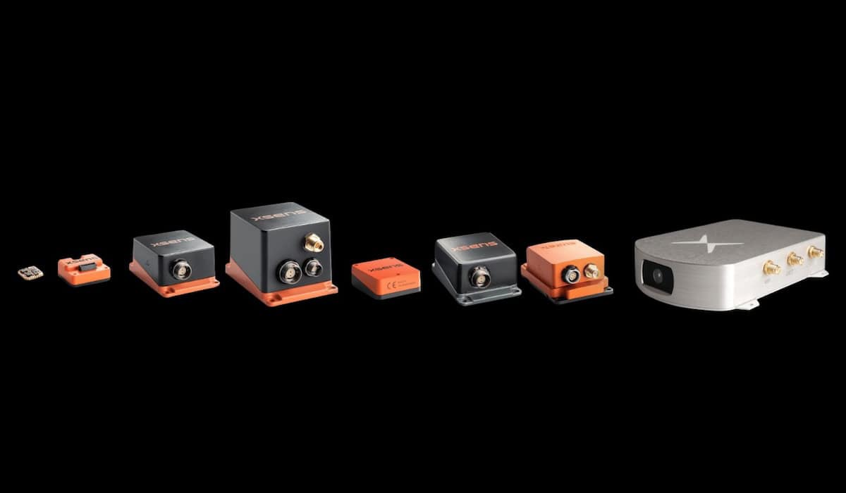
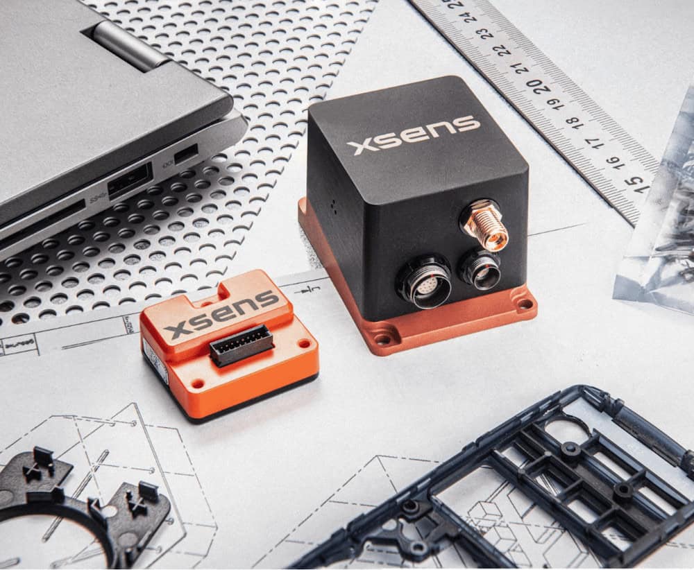
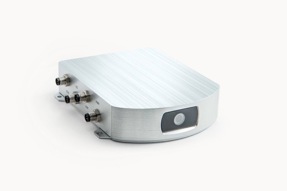
XSens MTi-G-700 GPS/INS
Area-I has released flight test footage of the PTERA (Prototype Technology Evaluation Research Aircraft), which integrates the XSens MTi-G-700 GPS/INS Inertial Navigation System. Area-I’s used the technology to record a wide array of position and velocity data during flight testing.
The GPS-aided, IMU-enhanced Inertial Navigation System outputs a wide range of data, such as drift free 3D orientation data, 3D position and velocity data, 3D calibrated acceleration, rate of turn, magnetic field data and pressure data.
Area-I specializes in advanced aerodynamic technologies and optimization, aircraft design and analysis, advanced guidance, navigation, control systems, unmanned aircraft design, analysis, and optimization flight test related products and services. Area-I has developed systems for detecting and measuring small-scale airmass motion (i.e. gusts) with a multi-objective guidance strategy that allows UAS to extract energy from that airmass motion, thus improving UAS endurance, and range.
The Area-I PTERA research aircraft provides a bridge between wind tunnel testing and manned flight by providing a low-risk, low-cost platform to flight test high-risk technologies such as advanced aerodynamic treatments, GNC systems, acoustic research , sensor and health management systems, etc. The 200 lb aircraft has a 50lb payload capacity. In 2012 Area-I completed a series of NASA-funded flight tests which Xsens help sponsor.
“Area-I’s experience with Xsens has been phenomenal. The quality of their technical support and the quality of their products has never left us wanting. Our line of work requires the use of high-fidelity sensor systems to collect highly accurate flight data regarding the unmanned aircraft that we operate; we found the Xsens MTi-G to be just such a system”, says Nicholas Alley, CEO at Area-I.
Area-I personnel have led the design of fourteen unmanned aircraft and one manned aircraft. This experience is augmented by a suite of proprietary software that facilitates the entire UAS design process. From conceptual to detailed design, on through to fabrication and flight testing, this software allows Area-I to provide accurate assessments of aircraft stability and performance. In early 2012 Area-I approached Xsens for a solution that would provide the orientation and position data needed for their project (MTI-G), as well as integrate easily with their existing technology.
Marcel van Hak, Product Manager at Xsens adds: “The payload of these platforms is typically limited and therefore the Inertial Navigation System must be small and light-weight, though accurate as well. The MTi-G is specifically designed to balance accuracy and size. It is therefore not a surprise that Xsens’ MTi-Gs are used as a replacement for optical gyroscopes“.