


The US Air Force Joint Base Lewis-McChord (JBLM) tackled recurring tree obstructions near its runways in a pilot project using Inertial Labs‘ RESEPI Lite OS1 drone Lidar technology combined with cloud-enabled software. Find out more > >
Over 90 percent of the wooded areas around the airfield consist of rapidly growing Douglas Fir trees, which can exceed 250 feet and penetrate critical approach and departure clearance surfaces. To maintain safety and comply with environmental regulations, JBLM must inspect and assess these obstructions every five years, a challenging task across more than 1,000 acres.
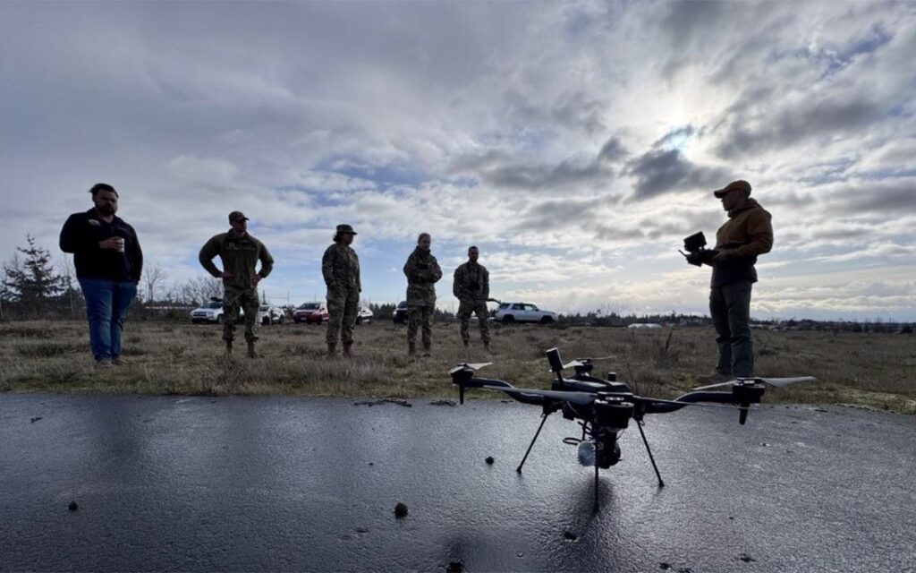
In March 2025, the Air Force 627th Civil Engineer Squadron led the project deploying a Freefly Astro drone equipped with the NDAA-compliant RESEPI Lite OS1 Lidar sensor from Inertial Labs and used Stitch3D cloud software for processing and data delivery.
Despite adverse weather and dense forest cover, the team completed data acquisition within 48 hours. The resulting high-density point clouds delivered precise vertical accuracy, exceeding typical land survey standards and meeting JBLM’s obstruction detection requirements. Data were securely shared through the Stitch3D cloud platform, ensuring easy access and interoperability for airfield stakeholders.
This successful pilot validates drone Lidar as an efficient and accurate method for airfield obstruction surveys. The 627 CES recommends making drone Lidar a routine part of inspection operations to enhance safety and environmental compliance at JBLM and other military airfields.


