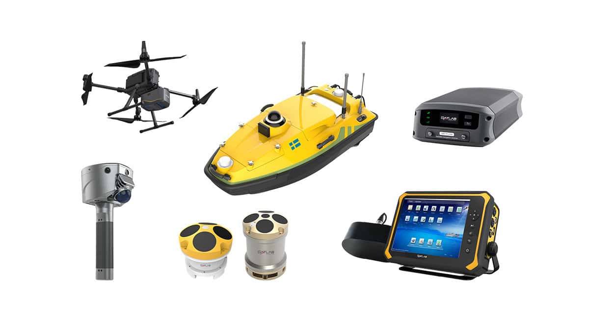
In this case study, SatLab Geosolutions discusses how an integrated UAV-USV inspection workflow, combining its HydroBoat 1200MB with the Apus-MX LiDAR mounted on a DJI M350 RTK, was used to inspect a bridge, both above and below the water. Read more >>
SatLab’s coordinated solution enabled seamless data acquisition from riverbed to bridge superstructure, providing a true 3D view for accurate assessment, safer operations, and smarter lifecycle management.

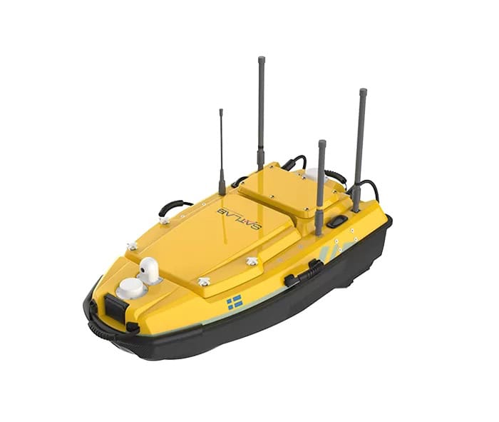
HydroBoat 1200MB.
The inspection was conducted on a major cross-river bridge with submerged pier foundations, narrow channels, shallow wetlands, and elevated structural elements. Traditional methods faced challenges such as limited accessibility, safety risks, and fragmented datasets that made complete 3D modeling difficult.
An integrated above- and below-water approach was therefore required to provide a comprehensive and safe structural assessment.
SatLab’s Integrated Solution
SatLab implemented a dual-platform workflow. Its HydroBoat 1200MB, a USV Multibeam solution, performs high-resolution bathymetric mapping and pier foundation surveys using autonomous navigation and obstacle avoidance, while maintaining precision and without requiring an SVP. The USV itself delivers reliable data acquisition, even in low visibility waters.

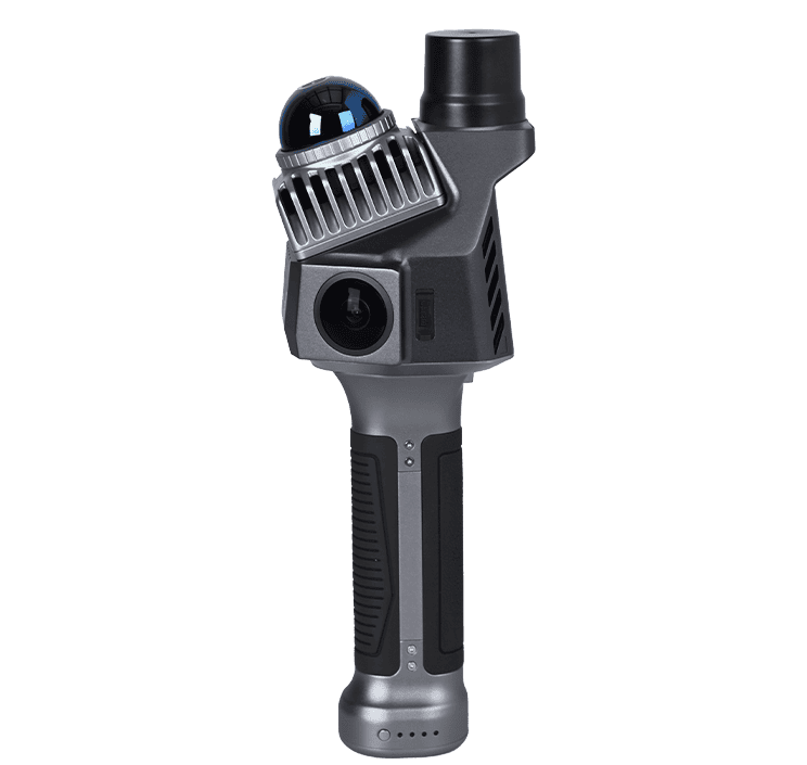
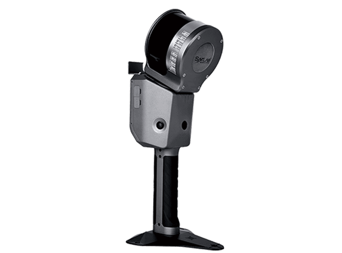
DJI M350 RTK + Apus-MX LiDAR.
The DJI M350 RTK, equipped with the Apus-MX LiDAR, captures rapid, high-density 3D point clouds of the bridge deck, piers, soffits, and surrounding terrain, detecting fine-scale defects such as cracks, spalling, and corrosion. Its agile flight paths also enable coverage of complex geometries with no blind spots.
Using SLHydroBeam Processing Software, sonar and LiDAR datasets are seamlessly integrated into a single 3D digital twin, supporting automated modeling, analytical reporting and defect detection.
Impact & Benefits to Inspection
The integrated workflow involved mission planning for USV routes and UAV flightpaths, synchronized UAV LiDAR and USV sonar data acquisition, on-site accuracy verification, and post-processing, including motion and tide corrections, LiDAR calibration, and fusion of datasets into a superstructure-to-substructure model.
This synchronization of UAV and USV operations therefore enabled seamless fusion between underwater and aerial inspection.
The project delivered a comprehensive 3D digital twin integrating sonar and LiDAR data, containing detailed thematic layers such as scour depth, pier geometry, crack distribution, and clearance profiles. This enabled complete structural visualization and analysis from the riverbed to the bridge deck.

Conclusion
The coordinated use of UAV LiDAR and USV Multibeam sonar provides true surface-to-subsurface inspection, offering a smarter, safer, and more complete method for managing bridge infrastructure.
SatLab’s integrated workflow delivers reliable, comprehensive, and decision-ready data to support efficient and informed infrastructure management.