If you’re developing a project related to unmanned vehicles like drones (UAVs), rovers, boats, or even submarines, enabling autonomous navigation requires integrating autopilot with a precise GNSS/RTK location system. While the integration process can be challenging, ArduSimple has prepared this article to help you to get started.
What are ArduPilot, Flight Controller and Ground Control Station?
ArduPilot is an open source autopilot system supporting many vehicle types: multi-copters, traditional helicopters, fixed wing aircraft, boats, submarines, rovers and more.
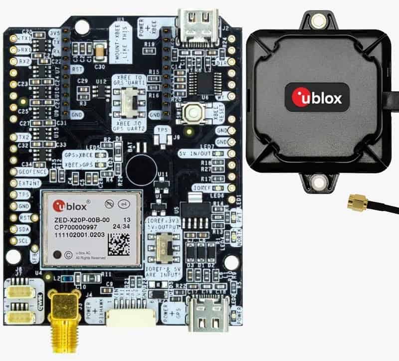
The flight controller is the hardware component that runs the ArduPilot firmware, acting as the central “brain”. It processes input from various sensors (like GPS, accelerometers, and gyroscopes) to stabilize and control the vehicle. Popular flight controllers compatible with ArduPilot include the Pixhawk, Cube, and Navio2.
In most of our tutorials we test with Pixhawk 4, you will need to adjust some parameters in other flight controllers.
Ground Control Station is software application, running on a computer, phone or transmitter, that communicates with your UAV via wireless telemetry or USB cable. Mission Planner and QGroundControl are two widely used ground control stations compatible with ArduPilot. You can use it to configure, control and monitor your unmanned vehicles.
How to Choose a GNSS/RTK receiver for ArduPilot Project?
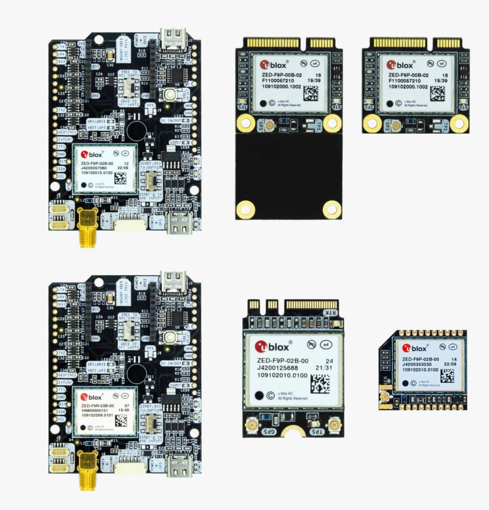
Integrating a GNSS/RTK receiver into an ArduPilot project provides precise GNSS positioning and navigation for more accurate and reliable autonomous operations.
Centimeter Accurate GPS Location Needed
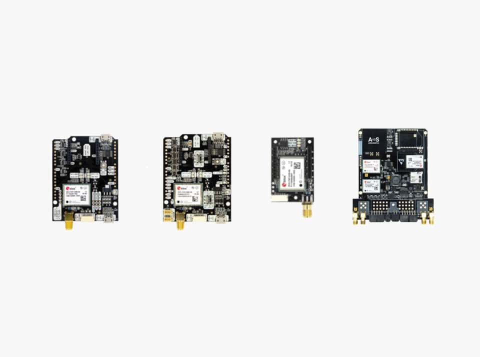
If your ArduPilot project requires the drone to repeatedly follow the same flight path, hover, navigate, and land within a few centimeters of a set waypoint, a GPS/RTK receiver with a single antenna is sufficient as it provides precise GNSS positioning. In this case, ArduSimple recommends these GNSS/RTK boards:
- simpleRTK2B Budget (powered by u-blox ZED-F9P) as the most affordable option.
Key features:
– Down to centimeter GPS accuracy
– Up to 10 RTK position updates per second
- simpleRTK3B Pro (powered by Septentrio Mosaic-X5) for anti-jamming and anti-spoofing capabilities.
Key features:
– Down to 10 millimeters GPS accuracy
– Up to 50 RTK position updates per second
– Anti-jamming and anti-spoofing capabilities
These boards are suitable for scenarios requiring precise positioning but not high heading accuracy, such as waypoint missions or terrain mapping.
GPS Location and Dual Antenna Heading
For precise heading control alongside accurate GNSS positioning, ArduPilot requires GPS receivers with dual antennas. This setup is essential for determining orientation (heading) and ensuring accurate navigation in three-dimensional space.
In this case, the company recommends simpleRTK3B Compass powered by Unicore UM982 receiver.
Key features:
- Down to 10 millimeters GPS accuracy
- Heading accuracy of 0.1° per meter of Baseline distance
- Up to 50 RTK position updates per second
- Basic jamming immunity
Click here the full article, including how to set up a GNSS/RTK receiver with ArduPilot, tutorials, and enabling centimeter-level accuracy with RTK corrections.