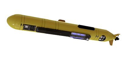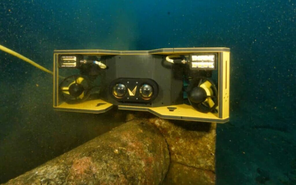
Voyis’ Discovery Stereo Inspection Series was used by Coastal Sensing to create a high-resolution 3D photogrammetry model of an armored pipeline between Mercer Island and Bellevue in Lake Washington.
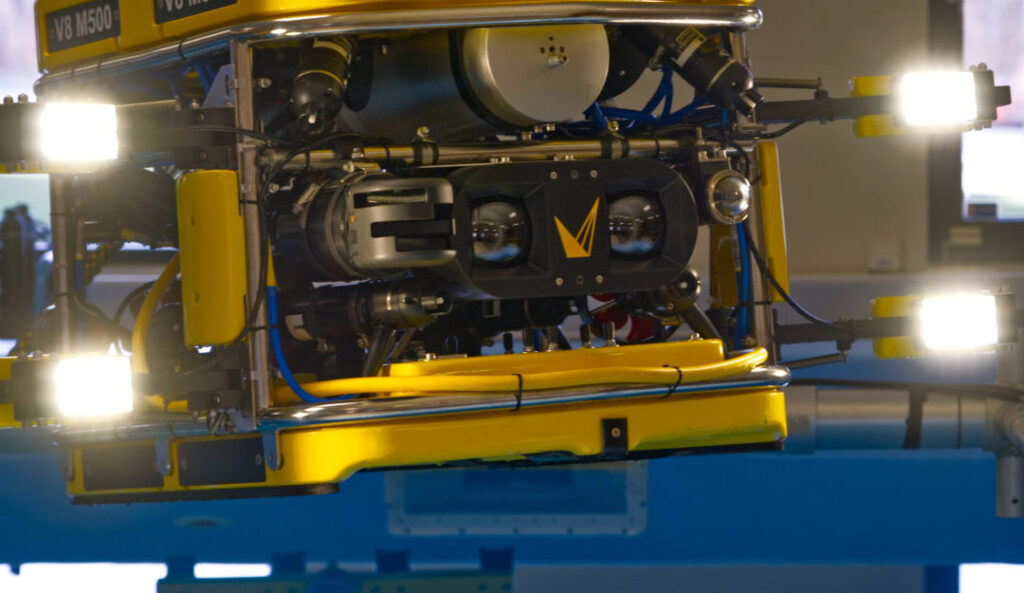
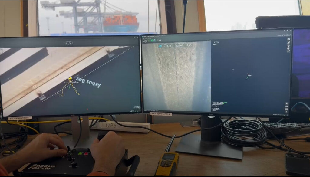
Coastal Sensing deployed a multi-sensor Remotely Operated Vehicle (ROV)-based approach combining Forward Looking Sonar (FLS) for navigation and broad-area context with Voyis’ Discovery Stereo Inspection Series for high-resolution optical imaging and 3D modeling.
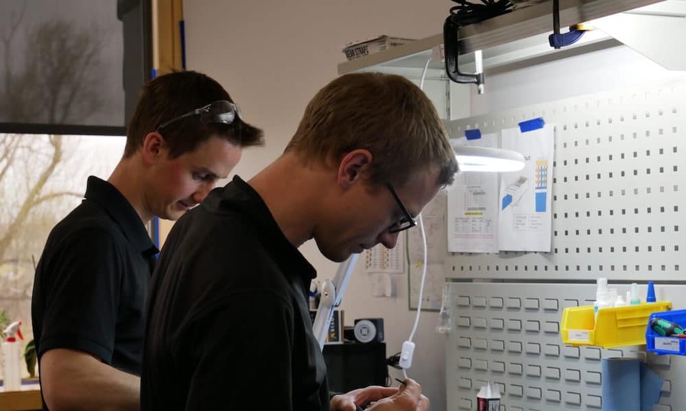
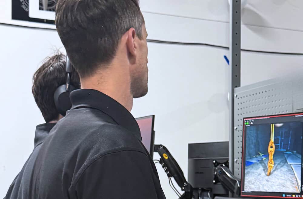
Data Acquisition and Processing
The survey collected more than 38,000 paired stereo images, high-frequency positional XYZ data for each image, and sonar datasets for contextual mapping and feature identification.
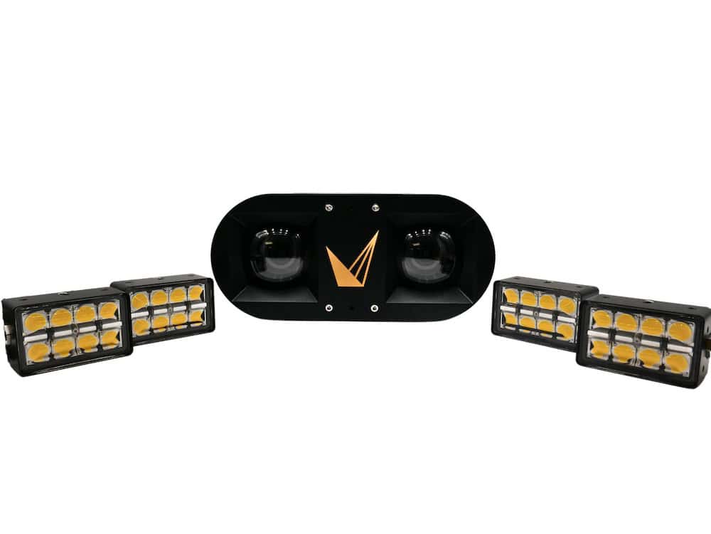
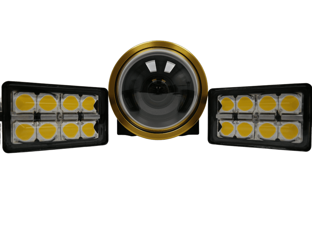
Voyis’ Discovery Stereo I-Series used synchronized strobe lighting with four off-axis LEDs to reduce backscatter and improve image clarity in challenging underwater conditions. Each image was tagged with geospatial data to support accurate alignment and reconstruction during post-processing.

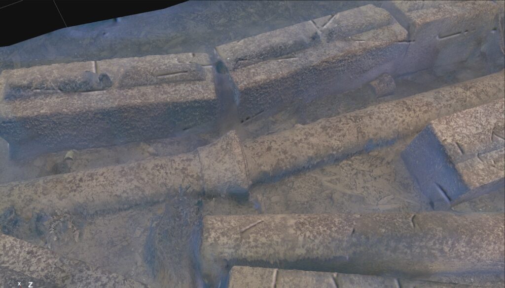
Precise dimensional measurement taken directly from a high-resolution 3D model generated by the Voyis Discovery Stereo Inspection Series for subsea pipeline inspection.

High-Resolution 3D Results
The resulting dense, high-resolution 3D photogrammetry model supported detailed inspection and quantitative analysis of the pipeline.
The Discovery Stereo I-Series uses true stereo vision and is Bureau Veritas certified for sub-millimeter measurement accuracy. This supported reliable dimensional measurements directly from the 3D model, along with identification of small-scale defects, deformation, or damage, and repeatable inspections for change detection over time.
Subsea Pipeline Inspection
By combining sonar, optical imaging, and precise navigation data, Coastal Sensing delivered a high-resolution, georeferenced 3D model of the subsea asset.
The project demonstrates how combining sonar, high-resolution optical imaging, and precise navigation can deliver both broad environmental context and detailed asset information to support subsea inspection.