Inertial Labs has released a whitepaper exploring the performance and accuracy of the RESEPI M2X and XT-32 systems. The comprehensive study offers an in-depth analysis of the two technologies.
Inertial Labs and WISPR Systems partnered to create a wholly integrated drone LiDAR solution using the Ranger Pro with the RESEPI XT-32 and RESEPI M2X. The drone and the navigation system of each complete solution remained the same; the only change was the LiDAR scanner.
Find out more in the full whitepaper > >
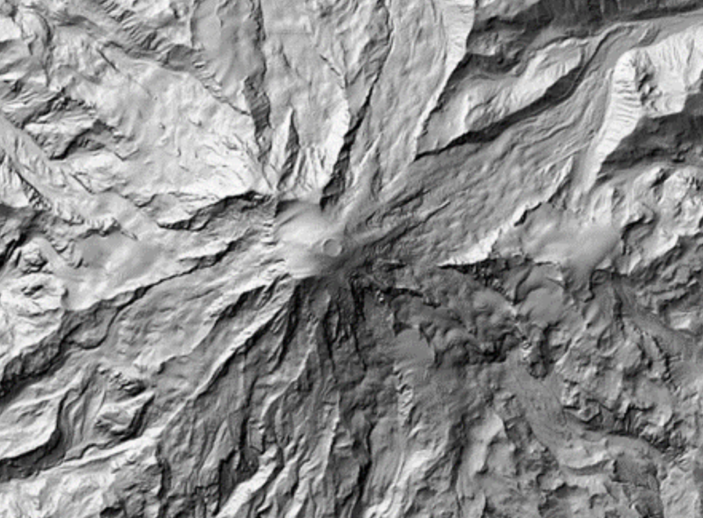
Ultimately, the suitable scanner for the end user depends on several factors: budget, environment, accuracy requirements, etc. Both scanners could produce accurate dense clouds, penetrate heavy vegetation, and generate insightful DSMs, DEMs, hillshades, and more. For applications at lower AGL, such as asset inspection, the XT-32 may be the right choice to get detailed imagery of essential resources. If a user needs to map out a large stretch of land, then the M2X could allow the user to gather data from a higher AGL while maintaining adequate accuracy and density for many mapping projects.
The whitepaper also includes:
- Detailed comparison of RESEPI M2X and XT-32 in various environments
- Insights into accuracy levels, response times, and efficiency
- Real-world application scenarios and performance metrics
To learn more, read the full whitepaper here.


