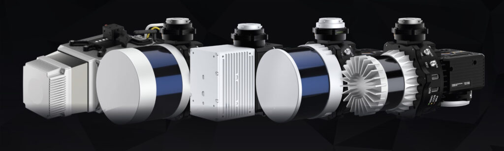

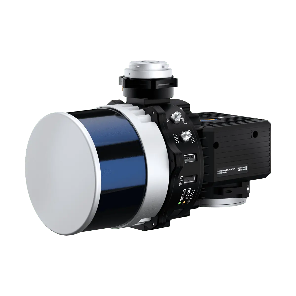
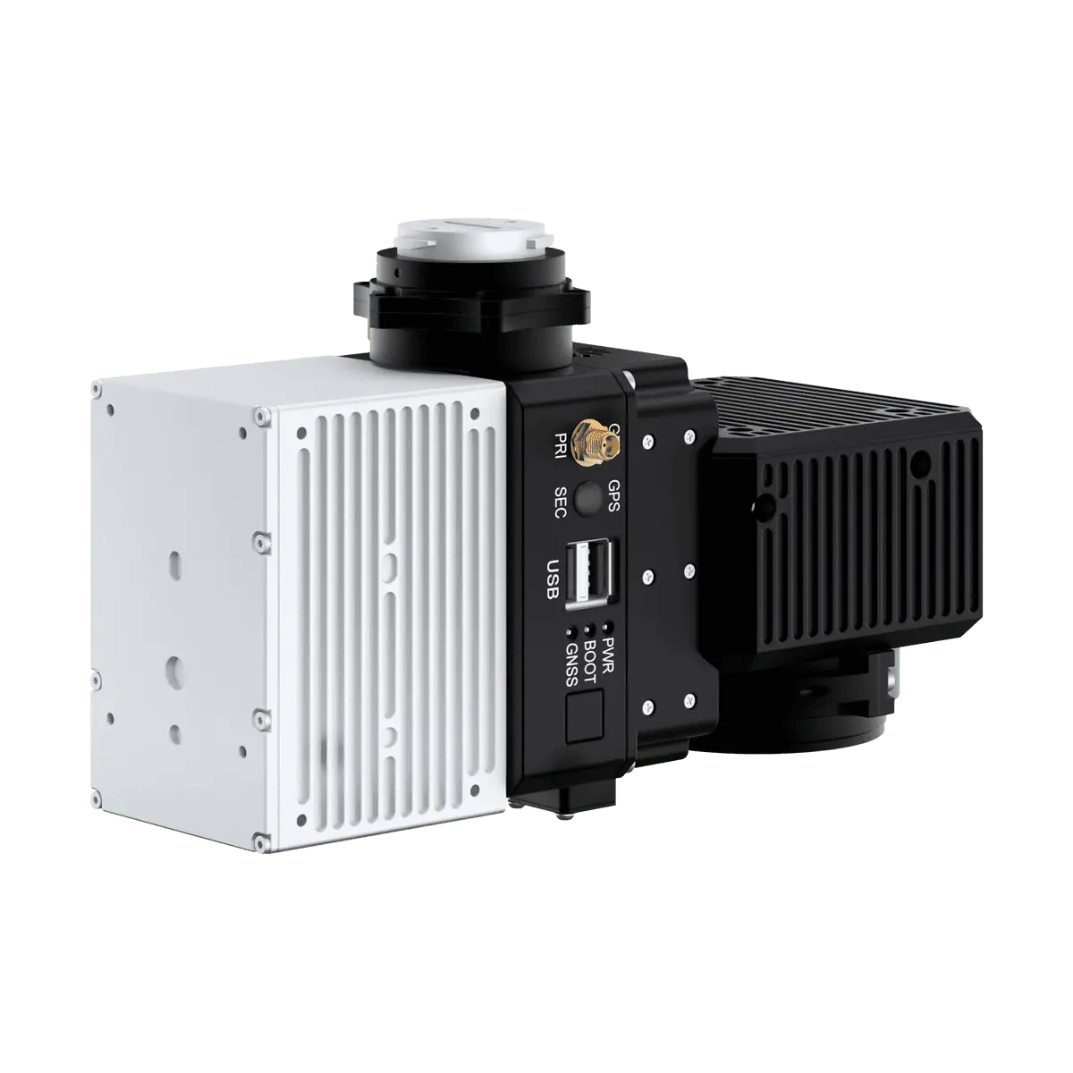
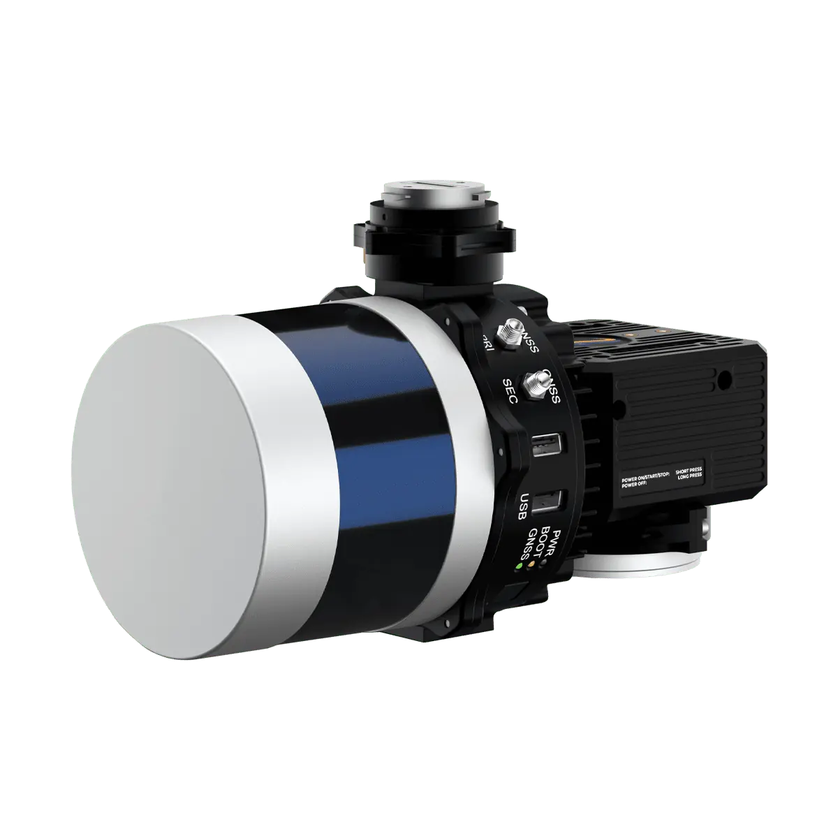
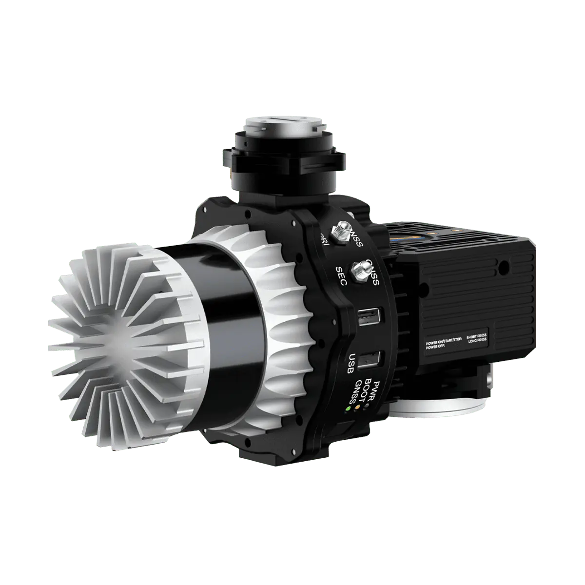
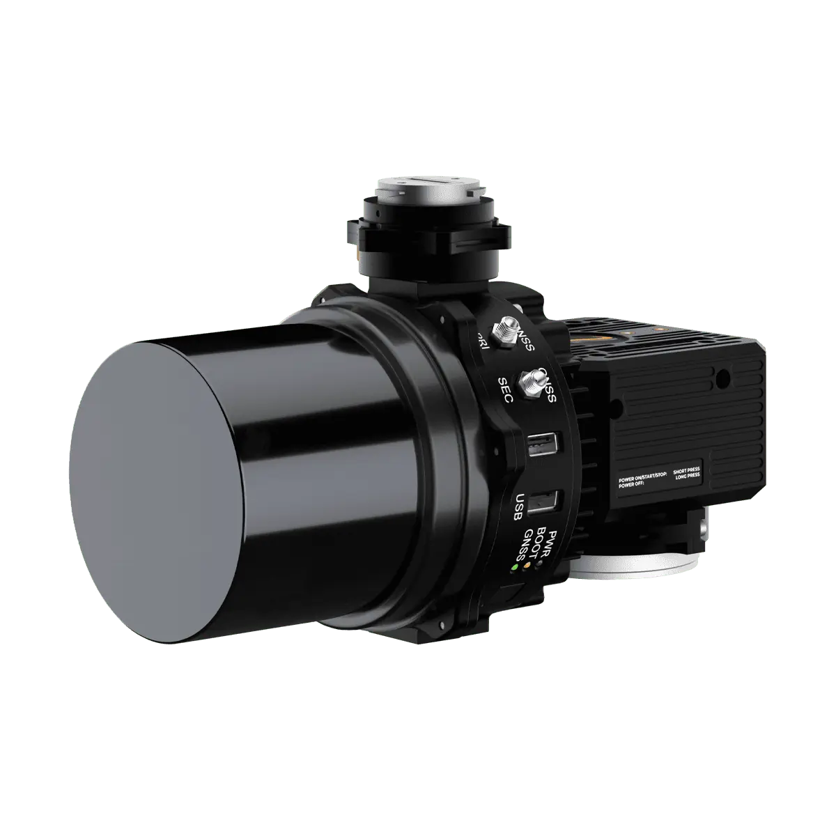
RESEPI is a modular LiDAR point cloud generation solution designed for white-labelling, allowing Inertial Labs partners and sellers to customize both the hardware and software with their own branding and focus on their core competencies without worrying about additional development. Inertial Labs provides everything required for assembling, calibrating, and bore-sighting, while users retain full control over customization.
Built around a Linux-based processing platform, the modular system includes Inertial Labs’ own high-performance dual-antenna GPS-aided inertial navigation system (INS) with a dual-use NovAtel RTK/PPK GNSS receiver, as well as Wi-Fi communications and an embedded cellular modem for in-flight RTCM RTK corrections.
RESEPI is ideal for a wide range of UAV remote sensing applications, including mapping, surveying, precision agriculture, utilities inspection, and construction site monitoring. The system supports a wide range of leading LiDAR scanners.