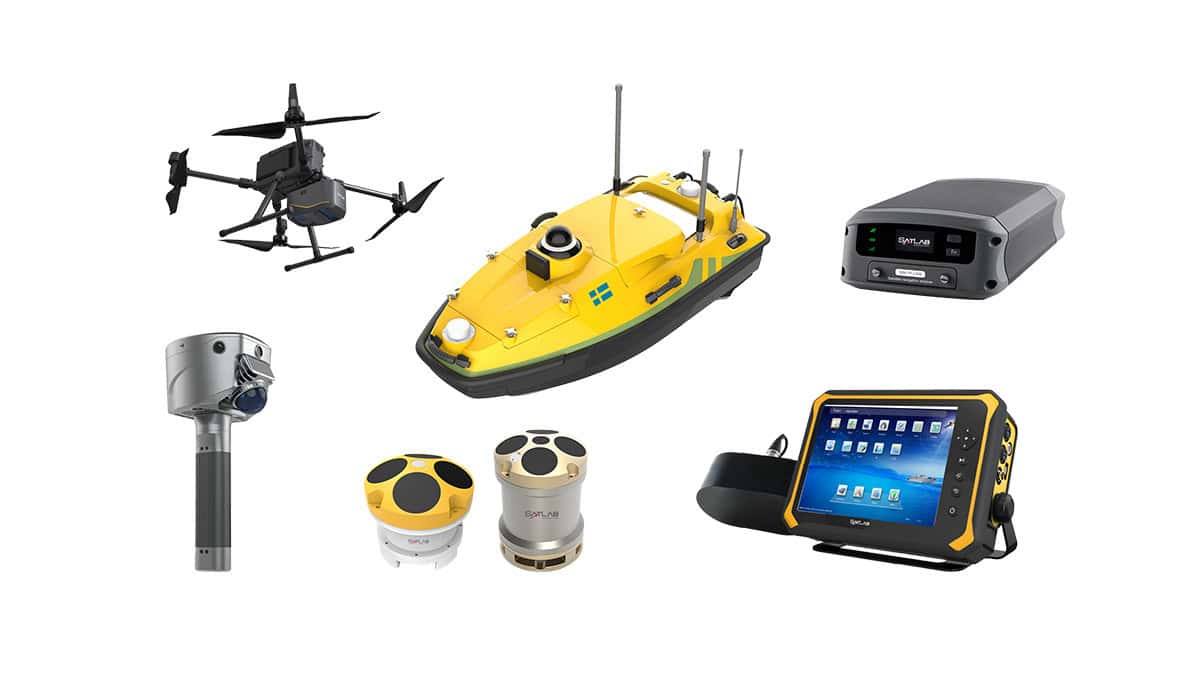
SatLab Geosolutions’ Apus-MX UAV LiDAR system has been used to create a high-accuracy digital twin of Portugal’s largest biofuel production facility. Read more >>
The project achieved sub-5 cm accuracy across the site and 1–2 cm precision in key zones, providing the detailed spatial data required to support operational efficiency, predictive maintenance, and informed facility management.
Mapping a Complex Industrial Site
The client operates Portugal’s largest biofuel plant, a complex industrial site containing extensive pipelines, process units, and equipment. To enhance operational visibility and data-driven management, the company required a highly detailed digital twin of the facility. Project goals included improving maintenance planning, optimizing workflows, and enabling proactive oversight of infrastructure assets.
Traditional ground survey methods were unsuitable for this large and intricate environment, as they were time-consuming, labor-intensive, and unable to deliver the level of precision required. To meet accuracy and efficiency targets, the team selected a UAV-based LiDAR mapping solution.
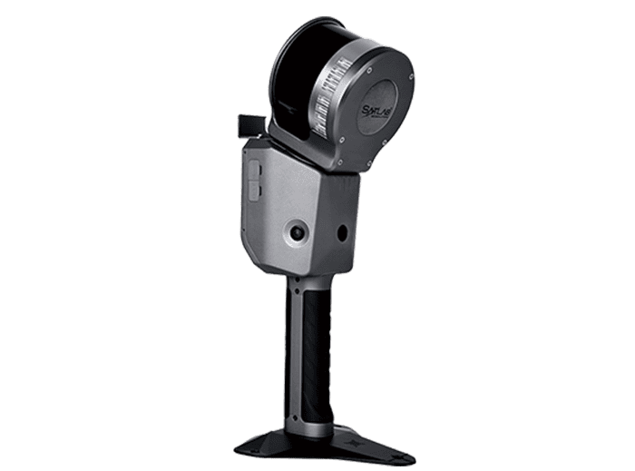
UAV LiDAR Solution
The Apus-MX was chosen for its precision, automation, and ease of deployment. Key capabilities included:
- Precision: Sub-5 cm accuracy overall, 1–2 cm in essential areas
- Ease of Use: Streamlined workflow requiring minimal operator training
- Automation: Automatic ground control point recognition and one-click flight strip alignment
- Portability: Compact design suitable for operations under strict flight constraints
The complete site scan was carried out within a single day, reducing survey duration and labor demands by more than 50%. The resulting high-density point clouds were seamlessly integrated into the client’s digital twin environment.
Results
High-Accuracy Data for Confident Decision-Making

Detailed 3D models of the whole factory
The LiDAR solution achieved sub-5 cm point cloud accuracy, capturing every structural, mechanical, and terrain element across the facility. The dataset supported accurate infrastructure modeling, detailed terrain assessment, and reliable spatial analysis, minimizing rework and improving planning confidence.
Supporting Proactive Facility Management
Through regular LiDAR scans, the facility maintains updated 3D models that enable engineers to measure distances instantly and detect issues before they develop into maintenance problems. The client commented, “Apus MX shifts us from reactive maintenance to proactive management — efficiency is up 30%!”
Automated Workflow for Faster Delivery
Automated target recognition and flight strip alignment simplified field operations and data processing. These functions shortened survey cycles and allowed teams to transform LiDAR data into actionable information quickly and consistently.
Turning Data into Operational Insight
High-resolution point clouds from the Apus-MX integrate directly into digital management systems, supporting predictive maintenance, real-time monitoring, and long-term operational planning. With 1–2 cm precision in focus areas, the dataset provides a dependable foundation for continued facility optimization.
Broader Applications
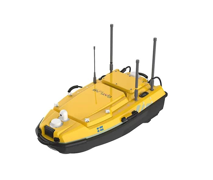
Beyond industrial site mapping, the Apus-MX system is suited to a wide range of surveying and environmental monitoring applications. It can generate digital elevation models and contour data for terrain mapping, penetrate vegetation to assist archaeological research, analyze canopy and ground structures in forestry, and support post-disaster assessments by detecting terrain and infrastructure changes for emergency planning.