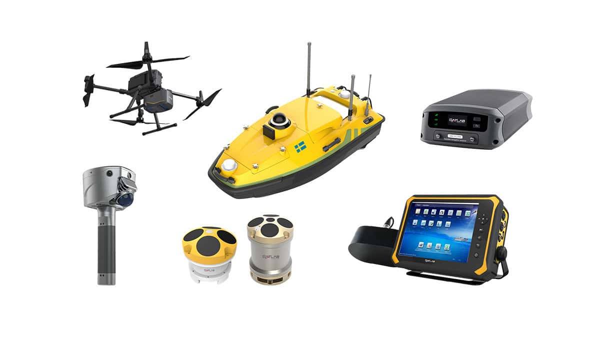
SatLab Geosolutions highlights how increasing commercial traffic on inland waterways is driving the need for more precise and efficient hydrographic surveys in the article, “Singlebeam vs. Multibeam: Advancing Underwater Surveying Efficiency.”
Focusing on the Shiqiao Waterway—an essential shipping route—the study compares traditional singlebeam methods using the HydroBoat 1200 USV with a 200 kHz echosounder, and the advanced capabilities of the HydroBoat 1500 USV, integrated with the HydroBeam M4 multibeam system. While the singlebeam approach offers ease of use and cost efficiency, it collects only one depth point per ping, making it more suitable for basic, small-scale surveys.
In contrast, the multibeam system captures up to 1,024 depth points per swath, enabling high-resolution 3D seabed models and completing surveys three times faster than the singlebeam system. With minimal operator input and advanced onboard data processing—including sound velocity corrections and noise filtering—the multibeam solution significantly improves both data quality and operational speed.
Both systems meet industry accuracy standards, with singlebeam achieving a 95.35% confidence level and multibeam reaching 97.72%. However, the multibeam’s ability to generate dense point clouds makes it ideal for mapping complex underwater features such as sand waves and submerged obstructions.
The article concludes that while singlebeam surveys remain viable for routine or smaller-scale tasks, multibeam technology is now the preferred solution for large, high-precision hydrographic projects. Its efficiency, accuracy, and ability to support detailed analysis mark it as a critical tool for modern waterway management.