Neousys explains how its range of embedded computer solutions can meet the demands of the seaport automation industry. Neousys products are available in...
Dejero has released a whitepaper that explains how its Smart Blending Technology delivers reliable connectivity anywhere, providing the reliable first- and...
High-Performance Embedded Computing (HPEC) processing systems used in Signals Intelligence (SIGINT) applications are designed to handle large amounts of data...
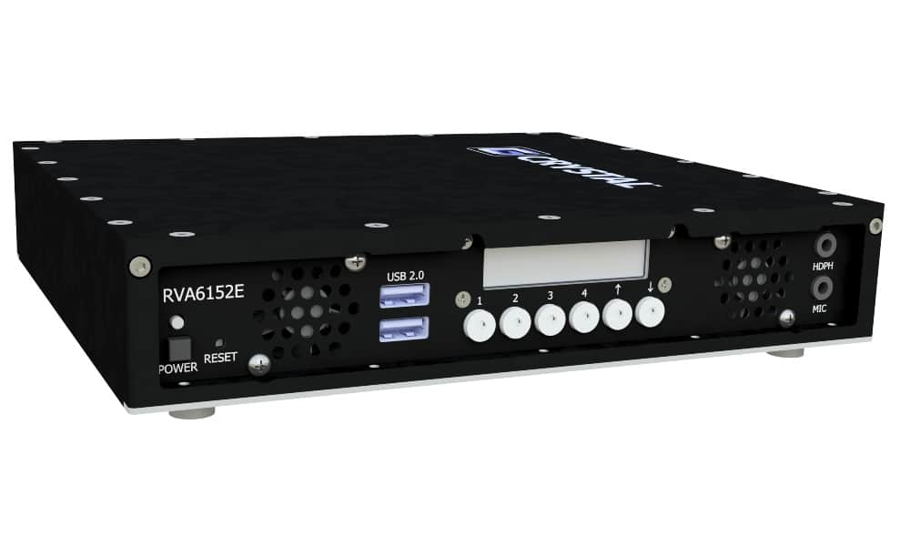
Crystal Group has released a report detailing the delivery of quality UHD video capability via the ruggedized multi-4K video encoder and 4K IP KVM extender
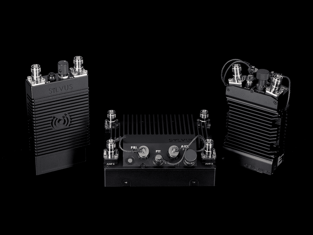
FLYMOTION has released the below article detailing the impressive capabilities of Silvus Technologies’ StreamCaster radios, and how FLYMOTION is integrating them...
Advancing Unmanned Systems Through Strategic Collaboration
UST works with major OEMs to foster collaboration and increase engagement with SMEs, to accelerate innovation and drive unmanned systems capabilities forward.