Hydro-Tech has released a research paper outlining in detail the steps the company took to carry out a bathymetric survey of the base stone in the Yellow River. Read more >>
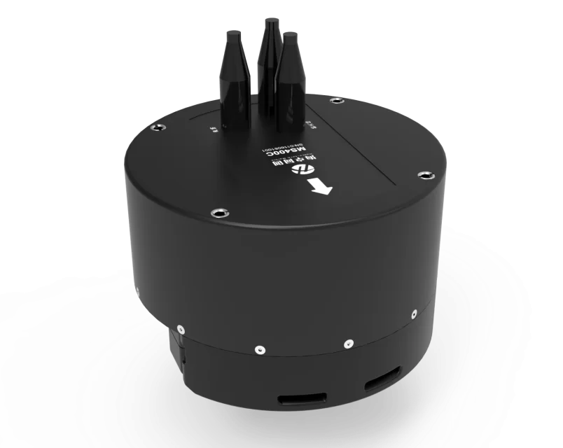
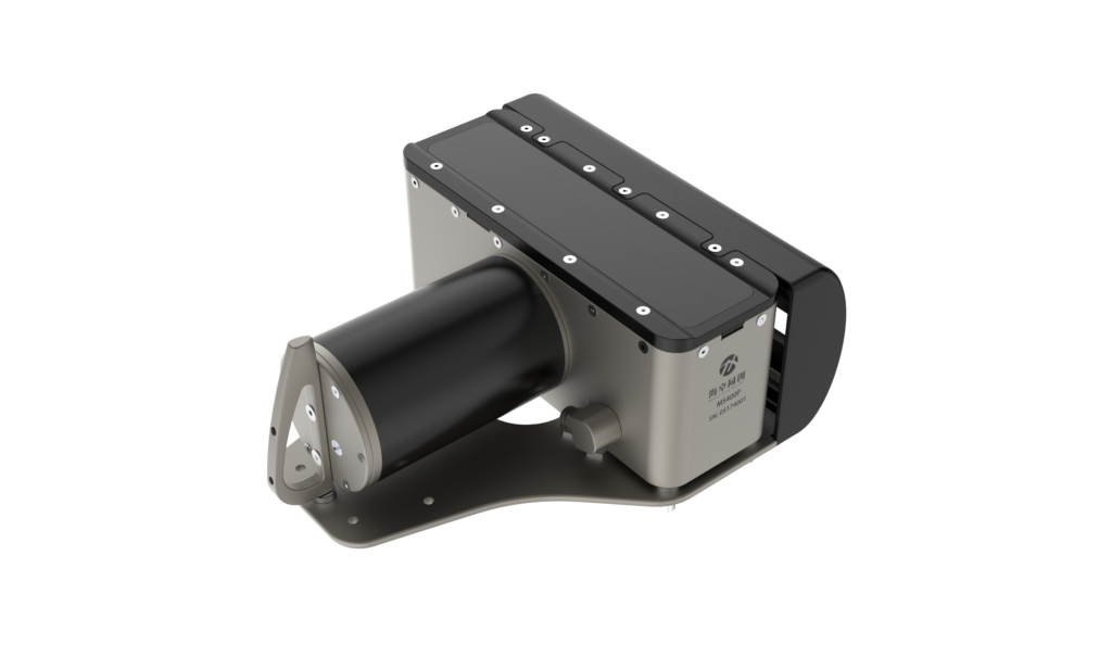
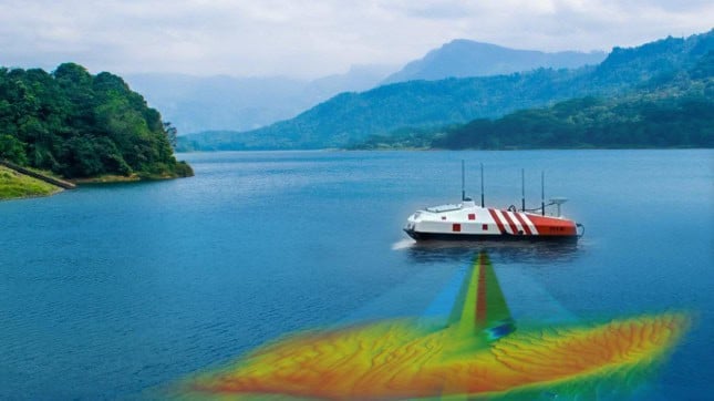
The company deployed their low-SWaP MS400U multibeam echosounder, designed to integrate onto small unmanned surface vessels (USVs) to use its sound velocity profiler and 512 acoustic beams to survey the riverside.
The project required an integrated survey of the above-water and underwater topography of the embankment on the north bank of an inland waterway. The MS400U took care of the underwater aspect with its multi-beam survey.
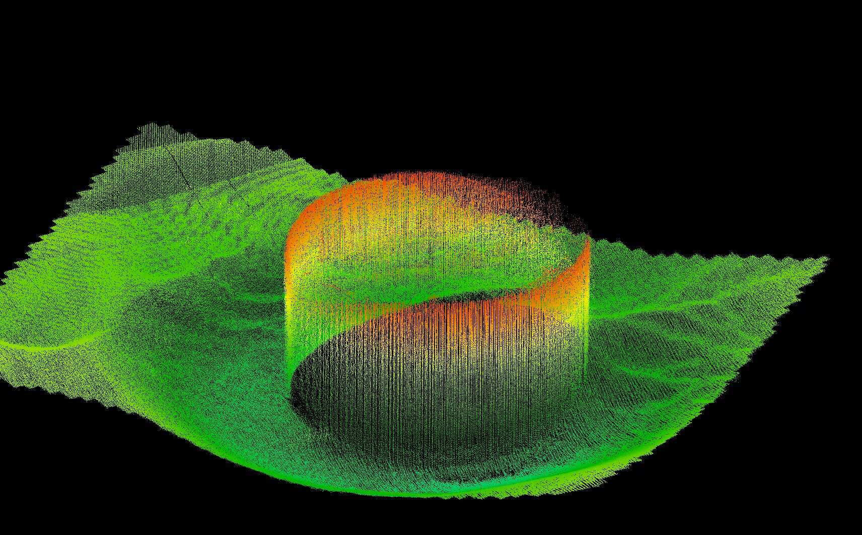
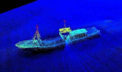
The central aim of the research is to create a map of the underwater three-dimensional terrain around the embankment, enabling people to determine base stone condition and the erosion of the embankment.

- Survey Requirements — preliminary inspections, debugging, data processing, and more.
- Data Analysis — results, models, precision analyses, and more.
- The Integrated Data Display
Hydro-Tech found that it is possible to gather survey data that can form complete 3D terrain maps, both above and below the waterline of the river.
Read the detailed findings, or visit the Hydro-Tech website for more information.