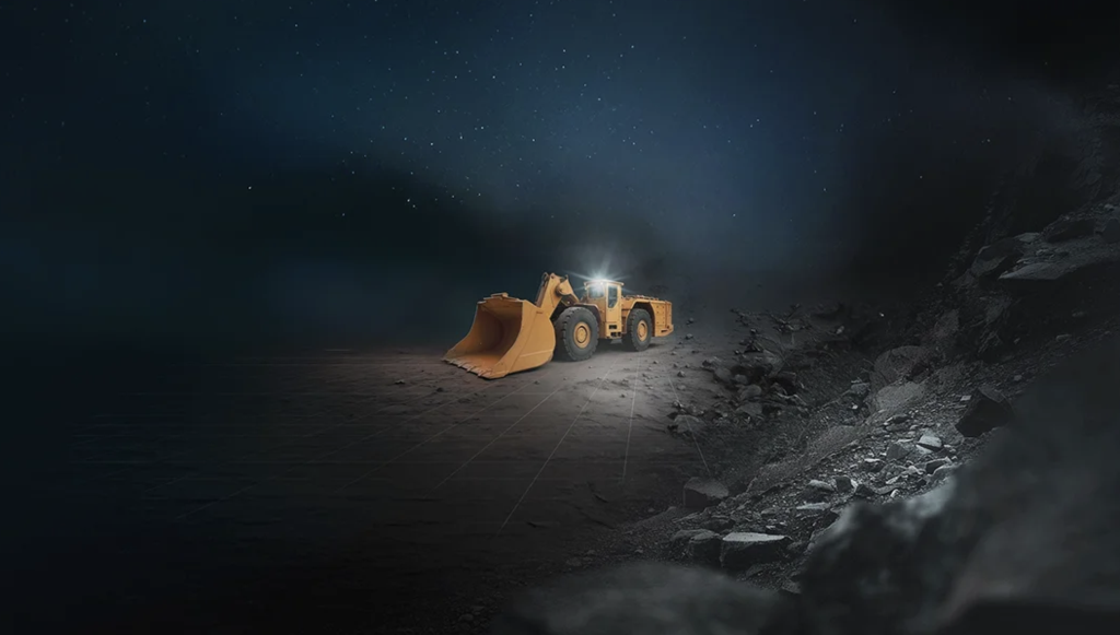
Advanced Navigation is tackling one of underground mining’s most persistent challenges: unreliable vehicle positioning that hinders accurate ore tracking.
Traditional systems, relying on wheel or perception odometry, suffer from errors caused by wheel slip, poor visibility, and complex mine geometries. Even high-end Inertial Navigation Systems (INS) have struggled to deliver consistent accuracy, leaving planners blind to vehicle movements and creating a hidden “data gap” that translates into operational inefficiency and financial loss.
The solution comes in the form of Advanced Navigation’s Chimera Land Laser Velocity Sensor (LVS). By measuring true three-dimensional vehicle velocities and integrating them into the INS, the system overcomes the limitations of conventional odometry, providing robust, time-stamped positional data even in development areas without fixed infrastructure.
This hybrid INS + LVS pairing enables an unambiguous digital chain of custody for every tonne of ore. Loaders and haul trucks are precisely tracked from stope to destination, supporting accurate reconciliation, predictive maintenance, and optimized fleet management. Field trials at the Callio Mine in Finland demonstrated sub-metre position accuracy over six kilometres, with exceptional heading and roll/pitch fidelity, proving its real-world effectiveness.
By transforming raw motion data into actionable material intelligence, Advanced Navigation’s system closes the underground data gap, enhancing operational efficiency, safety, and the potential for future autonomous mining.