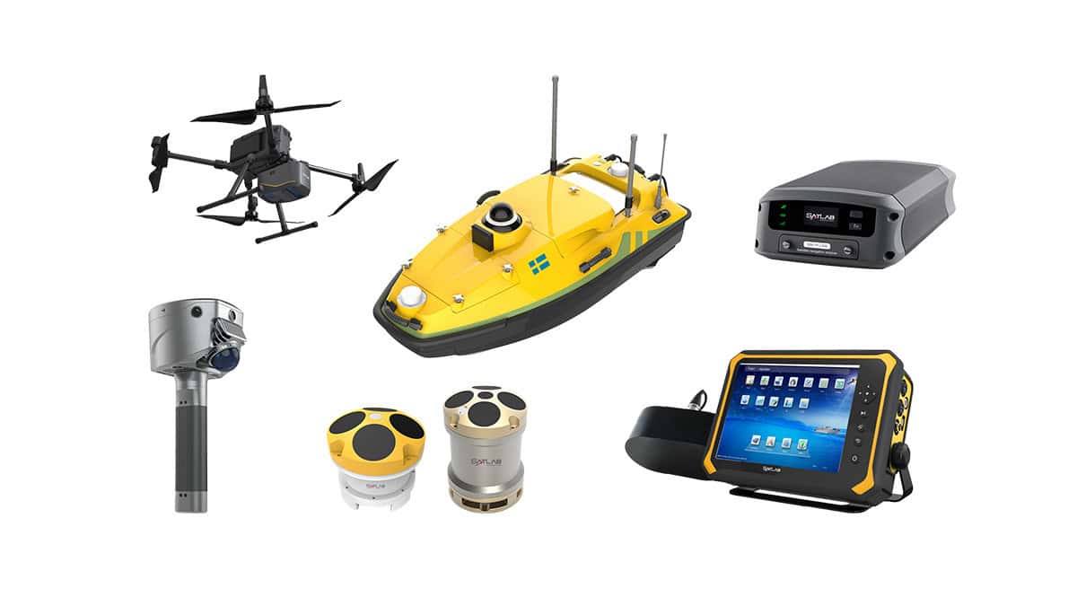
SatLab Geosolutions, a leading developer of GNSS solutions, demonstrates how to install the Apus UAV LIDAR on a DJI M300 drone in under 5 minutes
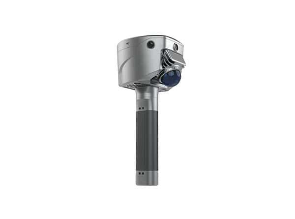
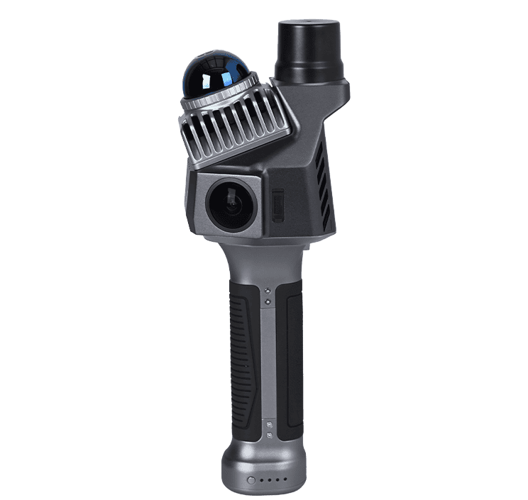
Rotate, plug & play: Simply attach the Apus UAV LiDAR to your drone with the specially-designed mounting system, and you’re all set to fly into the future of mapping and data collection.
The Apus-MX combines a powerful long-range LiDAR scanner with an advanced IMU and an industrial-grade 45 MP RGB orthographic camera to provide a highly portable and rapidly deployable drone-based aerial survey solution.
Featuring an 80° field of view and a maximum range of 1200 meters, it can operate at higher altitudes and capture more data in a single flight, enhancing efficiency and cost-effectiveness.
Installing Apus UAV LIDAR on your DJI M300 RTK is a breeze!