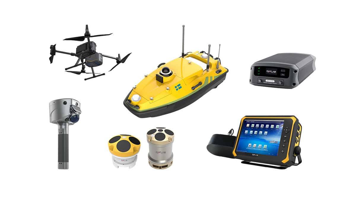
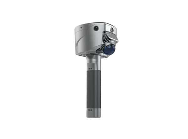
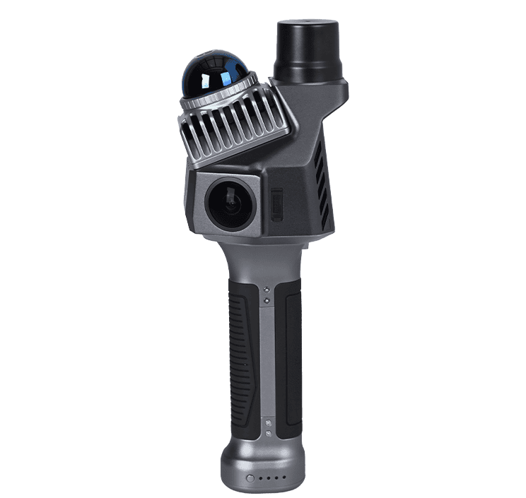
Watch the results of SatLab Geosolutions‘ drone-mounted Lixel X1 LiDAR scanner’s mission to map an industrial zone. The instant 3D modeling effect appears on the users phone after 5 seconds of capturing.
With high-resolution and accurate color data, users can easily see the changes in the building and street, including all trees and grass roads.