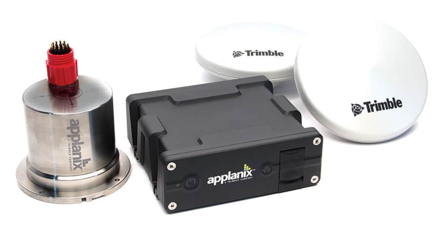
Using Trimble Applanix® UAV navigation technology, Sisir Radar is advancing beyond conventional remote sensing radar by creating innovative synthetic aperture radar (SAR) and ground-penetrating radar (GPR) systems designed to provide India with strategic, commercial, and geopolitical advantages.
In 2023, the company emerged as one of the earliest to showcase low-altitude L-band (1–2 GHz) SAR achieving sub-meter resolution, all within just 11 months of launching operations.
Urmi Bhambhani, co-founder and chief technology officer, stated, “The navigation system we used for this was provided by Trimble® and they had a huge part to play in this success we achieved at breakneck speed.
“The main difference between SAR and a regular radar is that to get fine resolution, SAR uses velocity of the platform to synthetically create a larger aperture for the radar. For a successful SAR product, the navigation system is extremely crucial.”
Importance of SAR
Synthetic aperture radar offers a distinctive form of imaging radar capable of capturing highly detailed and precise images of the ground, even in poor visibility conditions such as heavy cloud cover, smoke, or complete darkness. Compared to other remote sensing approaches like hyperspectral and multispectral imaging, SAR delivers much finer resolution, making it valuable for strategic planning, reconnaissance, and emergency response.
SAR can pass through vegetation, supporting applications such as tracking forest biomass, analyzing soil moisture, and identifying geological structures. The high-resolution output helps with detection and classification of smaller features. When deployed from low altitudes, SAR platforms also offer more control over flight path and timing than satellite-based systems, which is especially useful during disaster scenarios and humanitarian missions.
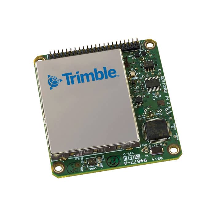
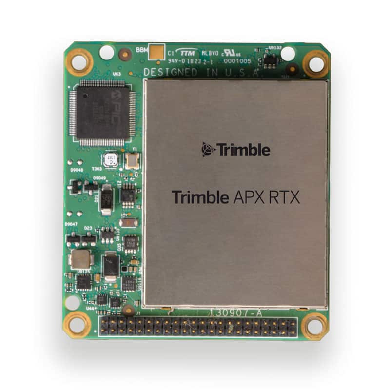
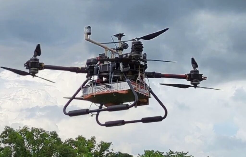
Sisir Radar partnered with Trimble to employ the Trimble Applanix APX-18 UAV module to develop its innovative drone-based SAR system. SAR sets itself apart by utilizing the platform’s motion to generate a synthetic aperture, enabling the production of high-resolution images.
This configuration provides several benefits, especially in terms of penetration through environmental obstructions like rain, clouds, and foliage, and in supporting continuous remote sensing regardless of weather or time of day.
Bhambhani explained, “Since motion of the platform forms the basis of SAR, accurate navigation information is required not only for georeferencing the image, as is the case with optical / hyperspectral / LiDAR sensors, but for forming the image itself. Fortunately for us, with Trimble being the leader in navigation systems, we had to look no further.
“We chose the dual antenna APX-18 board with the compatible helical antennas, which are both lightweight as well as powerful and were easy to mount on our drone. Even at an altitude of as low as 50 metres above the ground, we have been able to get accurate navigation data. You can see from the overlain SAR image that the building, roads and other features align perfectly with the optical image of the satellite, which can only happen if we have accurate navigation data.
“This can be said not just because geolocation of the image coordinates are accurately matched, but also since there are no perturbations and the SAR image looks perfectly formed, the underlying velocity information used for processing radar signals has to be accurate.”


Moving Forward with CAR-SAR
In January 2024, Sisir Radar introduced a new application of SAR technology. Known as CAR-SAR, this system involves side-looking SAR mounted on a pickup truck.
Bhambhani added, “We have used Applanix equipment for accurate navigation data. One can see the accurate velocity information as obtained from the Applanix system and the strength of algorithms that were able to create SAR images in spite of such variations in velocity!
“It has been a pleasure to work with the talented Applanix team. Their sales and support folks are quick to identify our requirements and needs and have a solid understanding of the products.”
CAR-SAR brings multiple advantages, including lower operational costs, more accessible deployment, precise imaging at lower speeds, and direct control over operations. The ease of returning to specific locations also improves repeatability compared to airborne platforms.
This vehicle-based SAR setup allows Sisir Radar to increase safety by eliminating the risks tied to aircraft operations, particularly in poor weather or in areas with restricted or hazardous airspace. Rapid ground deployment also supports time-critical missions such as disaster recovery, where quick access to updated situational data is essential.