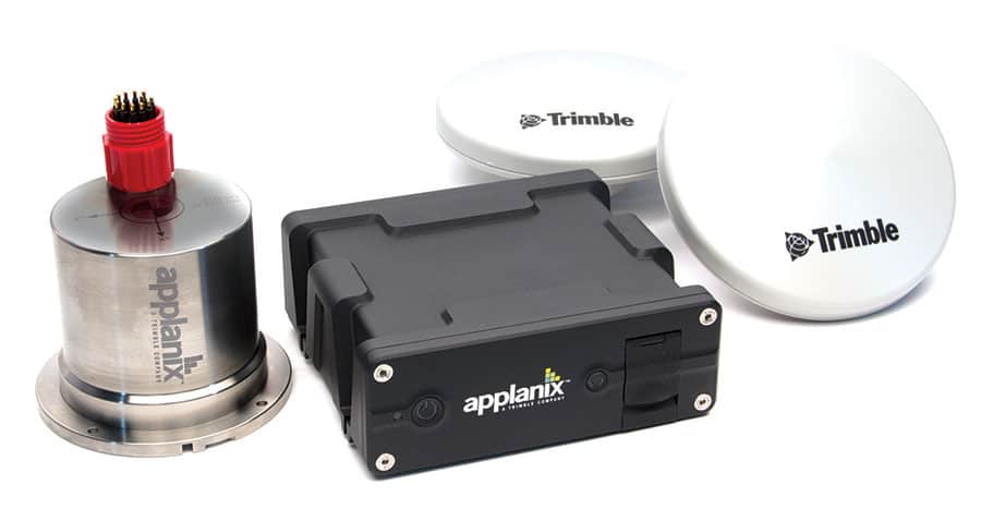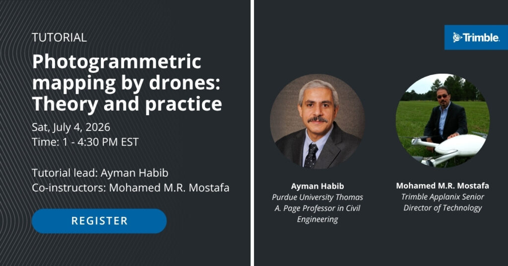
Trimble Applanix will host an intensive half-day technical tutorial focused on advancing drone-based 3D mapping capabilities at the upcoming International Society for Photogrammetry and Remote Sensing (ISPRS) 2026 Congress in Toronto.
Scheduled for Saturday, July 4, 2026, at the Metro Toronto Convention Centre, the session is titled “Photogrammetric mapping by drones: Theory and practice.” The curriculum is tailored for surveyors, engineers, students, and decision-makers, covering the complete operational workflow necessary to achieve survey-grade photogrammetric results. Attendees will study every phase of the process, including airframe selection, sensor calibration, flight optimization, and accuracy assessment.
The tutorial will be conducted by Dr. Ayman Habib, Professor at Purdue University, and Dr. Mohamed Mostafa, Senior Director of Technology at Trimble Applanix. Attendance for this technical session is limited, and registration is open on a first-come, first-served basis through the official Congress registration portal.
For further inquiries, prospective participants can contact organizers via email at [email protected].