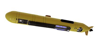
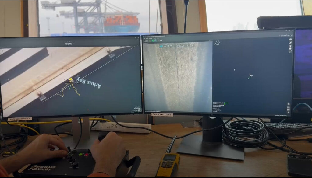
Wide area underwater image mapping has incredible potential to truly bring the ocean to life. In this third part of the ‘Color Imaging Series’ Voyis discusses the benefits to underwater surveyors, researchers, and navies to be able to access cutting-edge terrestrial photogrammetry software by simply dropping in the pre-processed Voyis images to deliver an extraordinary true color imaging capability.

What is photogrammetry?
Photogrammetry is the art and science of extracting 3D information from photographs. The process involves taking overlapping photographs of an object, structure, or space, and converting them into 2D or 3D digital models.
Using photogrammetry under water is not as common as terrestrial applications with aerial drones, but the demand for accurate underwater maps and models is driving adoption for ocean environmental monitoring, marine archaeology, salvage, and subsea infrastructure inspection.
With a measurable 3D model or 2D map of a large area, shipwrecks can be documented for scene reconstruction; bridge piers can be visualized for maintenance and repair; offshore assets can be mapped; regions can be repetitively monitored for detecting environmental change; and more.
How Voyis is making it possible
Wide area image mapping has incredible potential to truly bring the ocean to life, providing surveyors, researchers, and navies an enhanced understanding of this unknown environment. With this goal in mind, Voyis has endeavored to solve the historical challenges that have limited widespread adoption, to deliver an extraordinary true colour imaging capability that enables the application of cutting-edge terrestrial photogrammetry software by simply dropping in the pre-processed Voyis images.
Color Correction: With photogrammetry the features that must be matched in the image sequence will be observed form different perspectives. At each perspective, both the perceived color of the feature will have changed, and the lighting distribution will be altered as the artificial light source moves relative to the feature. A solution must therefore balance both color reproduction effectiveness, and image-to-image consistency in its performance.
To address this complex problem, Voyis has developed an imaging solution suitable for a range of applications that leverages machine learning to efficiently train a color Correction Model for the current survey location.
When images have been consistently corrected to remove all aspects of the water medium – color, lighting, and distortions – the output dataset can be directly utilized in terrestrial photogrammetry software like Pix4D to produce incredible wide-area image maps (orthomosaics) and 3D models.
Even Illumination: The second challenge for photogrammetry is producing an even illumination across the entire camera field of view. This is critical both for the visual appearance of the image and resulting 3D model, but also to ensure that features can be detected both in the center of the image and the corners. Photogrammetry must be able to detect features across the entire imaging area to be effective.
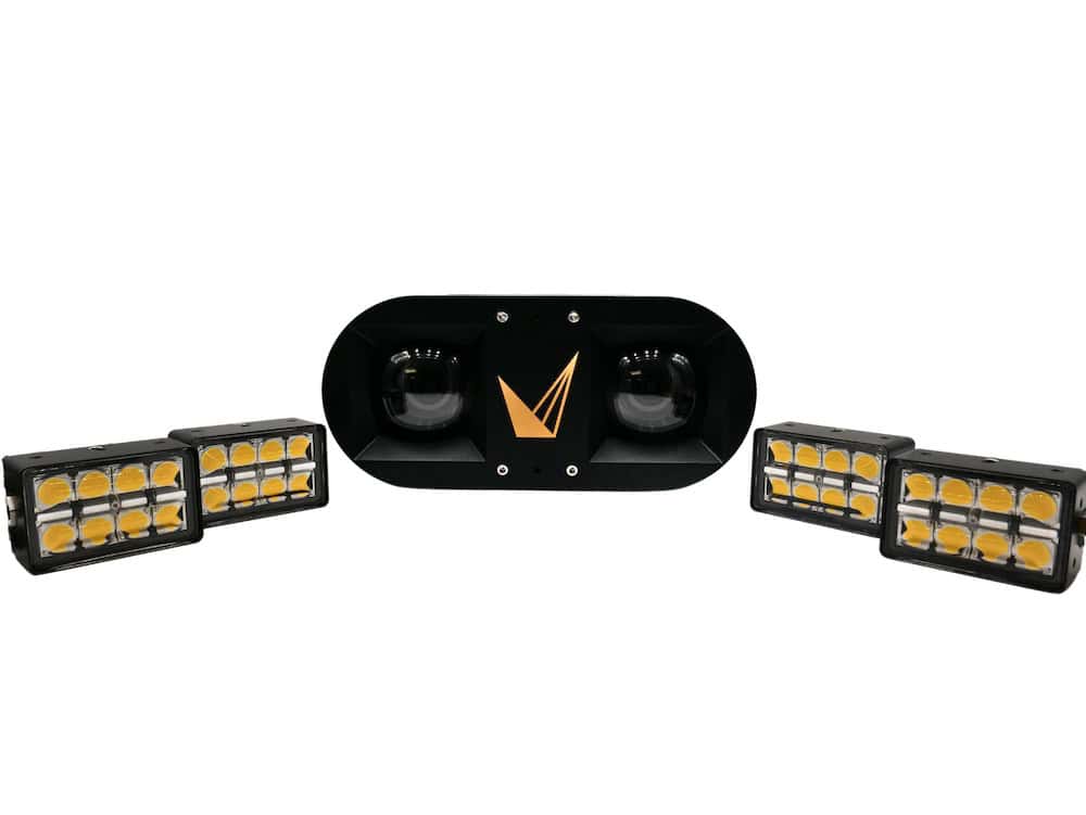
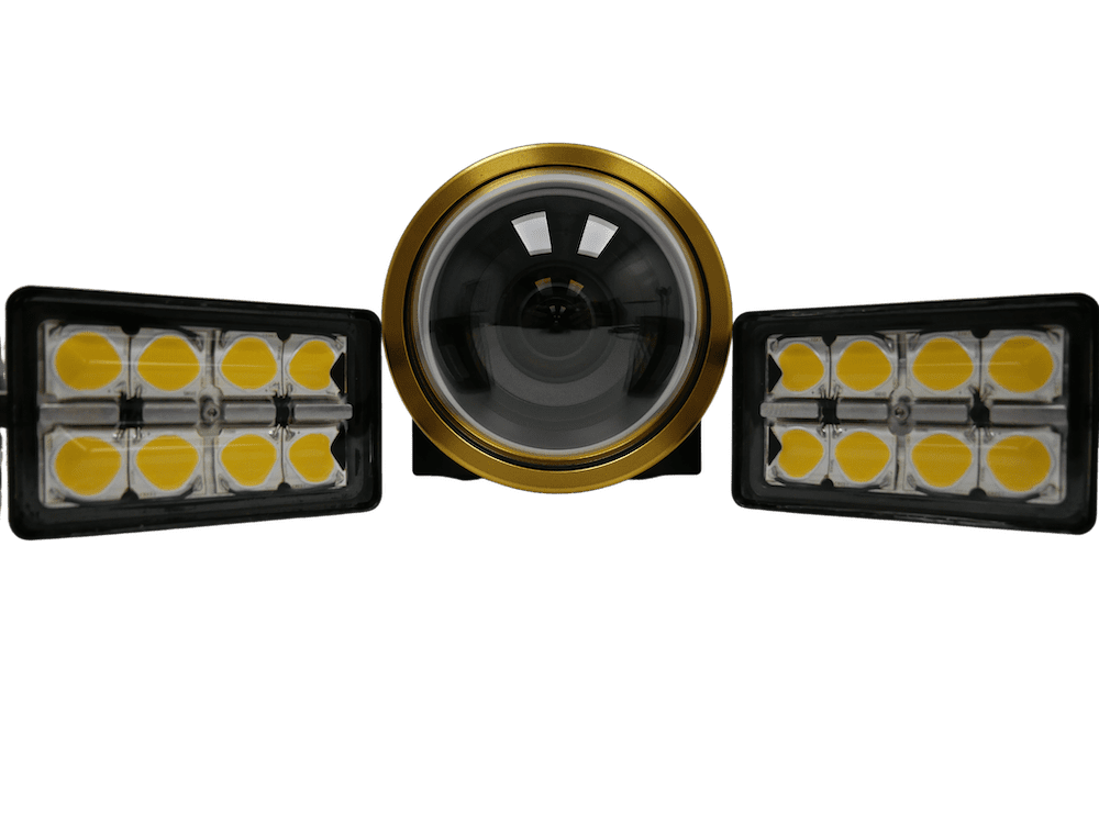
Voyis imaging systems employ a two-pronged approach to combat the phenomenon of uneven lighting, utilizing both physical and algorithmic lighting correction: the design of our NOVA LED panels, and dynamic range.
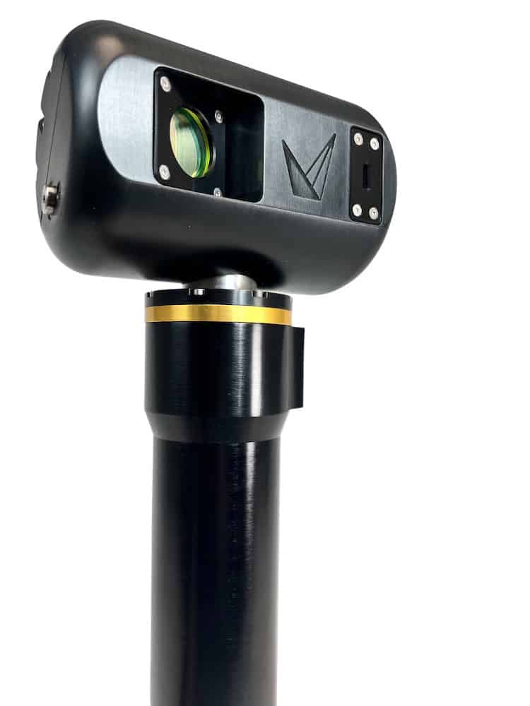
Camera Focus: Many underwater camera systems utilize Auto Focus to continuously optimize image focus as the scene varies throughout a survey. There are two core challenges with this approach that are detrimental to photogrammetry: focus consistency and camera calibration.
When auto focus is employed to survey complex structures, the focus algorithm will often lock onto different features in sequential image captures and noticeably adjust the overall camera focus. This focus inconsistency hinders the ability of SFM to match feature between frames. The second challenge arises in that when a lens’ focus distance changes, its parameters change, altering the camera model from its calibrated state. This result is an inaccurate undistortion model that reduces the accuracy of photogrammetric 3D models.
Voyis has concluded that the use of Fixed Focus lenses offers the best solution to deliver robust image capture, since they maintain a constant camera calibration and are more robust to mechanical vibrations. By finely tuning the fixed focus distance during calibration it is possible to provide both a consistent focus across the field of view, and an effective focus depth of field across typical imaging ranges.