Agilica outlines how recent maritime field trials demonstrated the role of its AGL system in supporting drone recovery where moving vessels, degraded GPS, and limited visibility can complicate operations.
Reliable recovery remains one of the major challenges facing maritime Unmanned Aerial Vehicle (UAV) operations. For drones to become operationally useful at sea, they must be able to take off, approach, loiter, and recover to moving platforms repeatedly and accurately.
This is difficult to achieve manually, and becomes more complex when autonomy is introduced. Maritime environments can also limit the reliability of common positioning and sensing methods. GNSS/GPS may be unavailable, degraded, spoofed, jammed, or unsuitable for landing on a moving target, while optical systems can be affected by low visibility, spray, darkness, difficult lighting, poor weather, and featureless deck environments.
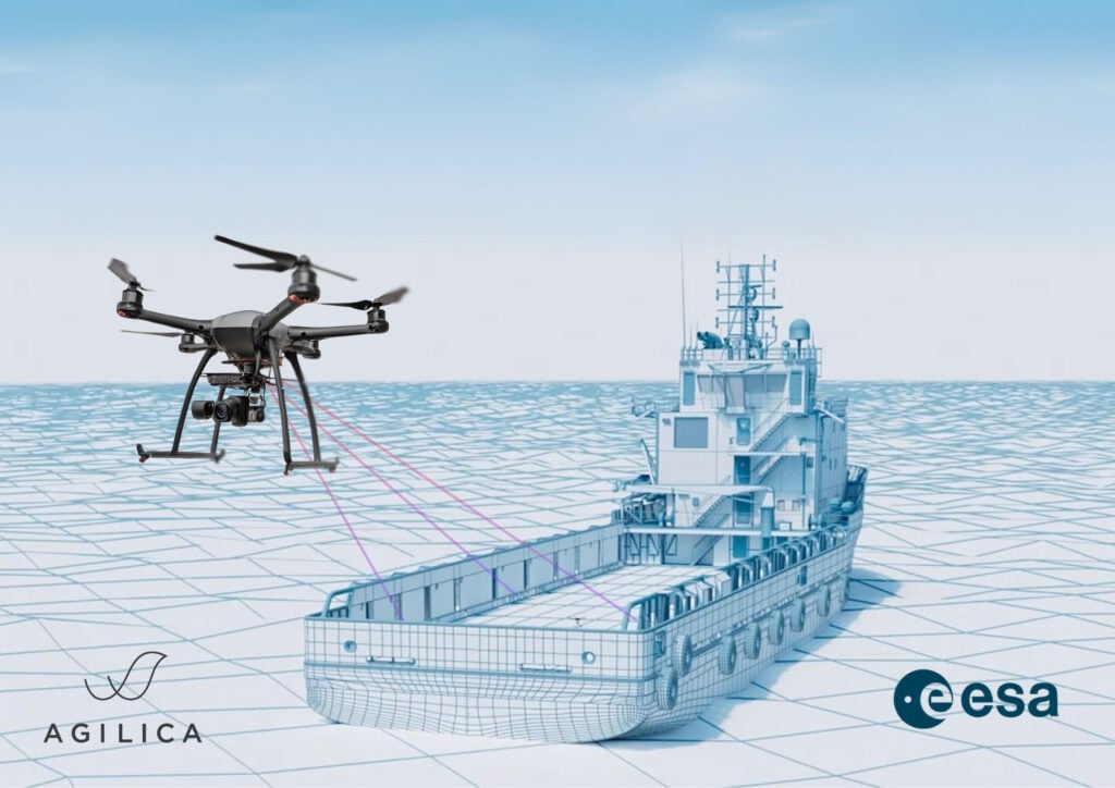
Agilica has developed its AGL positioning system to address this challenge by creating a dedicated local positioning environment around the vessel or landing area. The system is designed to provide UAVs with a reliable positioning layer where GNSS and vision-based systems cannot be assumed.
Maritime Field Trial Results
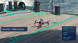
During recent maritime sea trials, Agilica’s AGL system enabled 30 successful UAV recoveries to a moving vessel travelling at approximately 10 knots. No failed recoveries were recorded during the trial sequence.
The recoveries were achieved using Agilica’s beacon-based positioning system. The recovery positioning layer did not rely on cameras, QR codes, radar, or GPS.
The UAV shown in the field trial video is the T1-Stormvogel testbed platform, used to validate Agilica’s positioning and recovery workflow. The AGL system is drone-agnostic and designed to support flexible integration options.
Hafeez Chaudhary, CEO of Agilica, commented, “Maritime drone recovery is one of the hardest positioning problems in autonomy. It is not just about flying a drone. It is about creating a reliable local reference frame around a moving platform, in conditions where GPS and vision cannot always be trusted. These sea trials show Agilica’s AGL system delivering that positioning layer in the real world, the same system now in 20 deployments worldwide and growing.”
Beacon-Based UWB Positioning
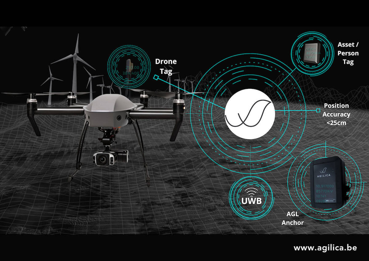
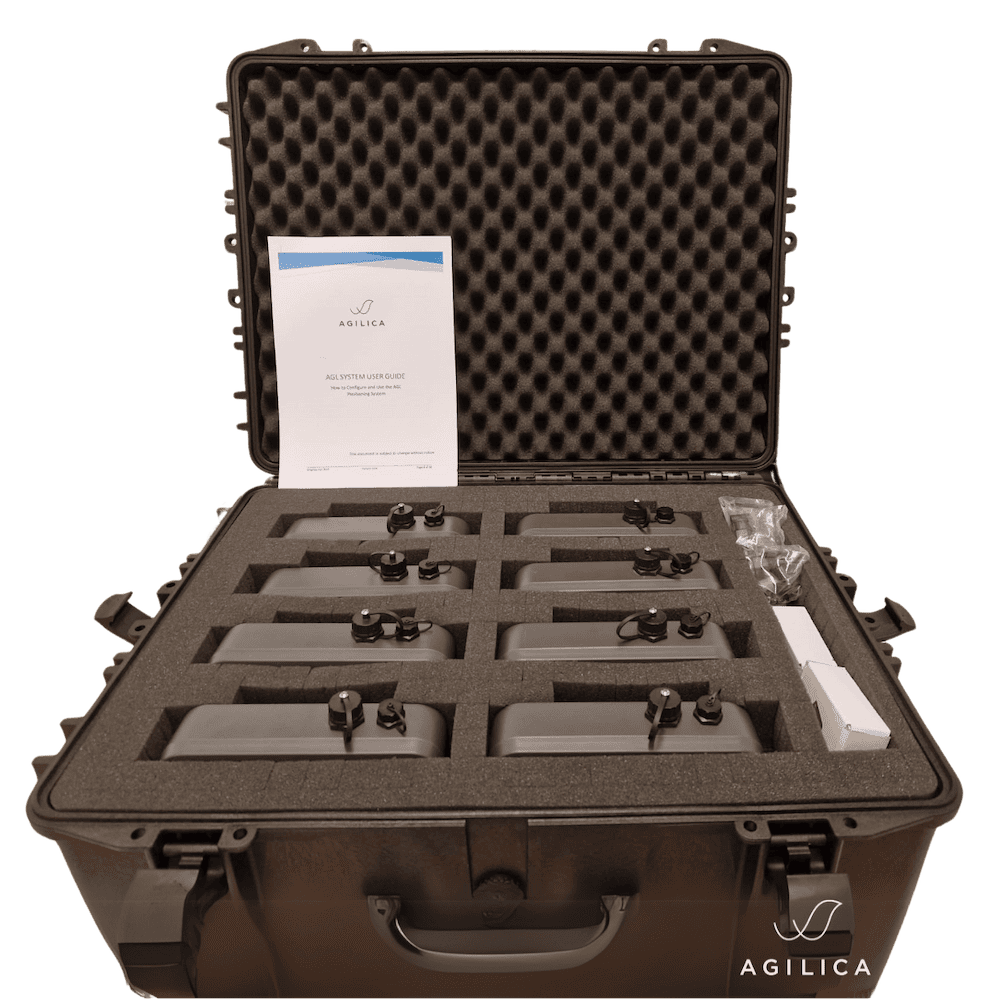
Agilica’s AGL system uses Ultra-Wideband (UWB) technology to create a dedicated local positioning bubble around the operating area. The system works by deploying UWB beacons, known as Anchors, around the landing area. The UAV carries a Drone-Tag, which uses the local beacon infrastructure to determine its position relative to the vessel or recovery area, independent of GPS.
 Within the deployed operating area, AGL is stated to provide better than 25 cm accuracy. This decimetre-level positioning is designed to support repeatable UAV approach, precision loitering, and recovery in GNSS/GPS-challenged and denied environments.
Agilica’s UWB-based approach is also designed to provide a robust local positioning layer in challenging environments. UWB operates at very low power spectral density across wide bandwidths, making it difficult to detect and more resilient to certain interference profiles than many narrowband systems.
This low-signature UWB approach is designed to support low probability of detection/interception (LPD/LPI) characteristics and improve resilience in environments where interference or jamming may affect other positioning methods.
Rather than acting as a single standalone sensor, AGL is intended to integrate into a wider autonomy stack.
Supporting the SAILS Project
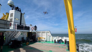 The maritime field trials represent an important milestone in delivering Agilica’s positioning solution for integration into the SAILS Project. Standing for Safe Autonomous Integrated Landing System for Ships, SAILS focuses on enabling safe and reliable autonomous UAV landing and recovery in maritime environments.
Agilica’s role is to provide the positioning layer needed to support accurate approach and recovery to a moving vessel. Field validation of the AGL system demonstrates the reliable local positioning required for operational deployment within wider maritime autonomy systems.
Operational Applications
Repeatable recovery to moving vessels could support a range of maritime and GNSS-challenged UAV operations, including logistics, defence and security, offshore energy, search and rescue, inspection, monitoring, emergency response, drone docking, industrial and indoor positioning, and multi-asset autonomy.
Agilica now has 20 systems deployed across pilot projects and advanced trials in multiple use cases around the world. These deployments reflect the company’s progression from technology validation toward operational deployment, with customers and partners integrating the system in demanding real-world conditions.
By providing a dedicated positioning layer for accurate approach, precision loitering, and repeatable recovery, Agilica’s AGL system supports the company’s broader goal of enabling dependable autonomy in environments where operational efficiency and reduced risk to people are critical.
Individuals building or deploying UAVs in maritime, offshore, defence, security, or GNSS-challenged environments can contact Agilica to discuss evaluation kits, pilot projects, and integration options.