


Agilica Geolocation (AGL) is a real-time positioning system for drones and robotics that utilizes ultra-wideband (UWB) radio technology to provide precision takeoff, landing, navigation and tracking capabilities.
The system uses multiple fixed anchor nodes with known positions to create a local co-ordinate system, as well as drone-mounted mobile tags with unknown positions. By using time-of-flight to measure distance between anchors and tags, highly accurate relative position can be calculated in real time.
AGL is GPS-independent, and ensures reliable and resilient navigation even in urban canyons, indoor locations, and maritime environments. The system is highly scalable and can support an unlimited number of tag-equipped drones.
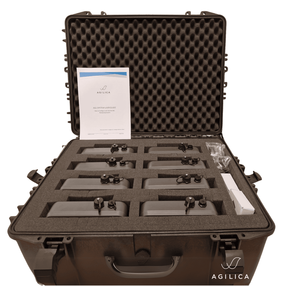
The Standard developer kit includes:
- 6 x anchor tags
- 1 x drone tag
- 1 x debug tag
- All required batteries & cables
- Non-commercial use license
- Online onboarding session plus two days of on-site support for initial setup and training
| Anchor Dimensions: | 210 x 150 x 55 mm |
| Anchor Weight: | 600g |
| Drone Tag Dimensions: | 32 x 28 x 10 mm (without casing) |
| Drone Tag Weight: | 6.8g (without casing) |
| Anchor Connectivity: | Fast Ethernet, Wi-Fi & BLE |
| Drone Tag Connectivity: | Serial & UART |
| Anchor Power: | Battery, PoE or USB-C 5W typical |
| Drone Tag Power: | 135 mA @ 5V |


