UAV Navigation-Grupo Oesía has introduced a new feature within its Visionair flight planning editor and ground control station (GCS) software: the Geocaging function.
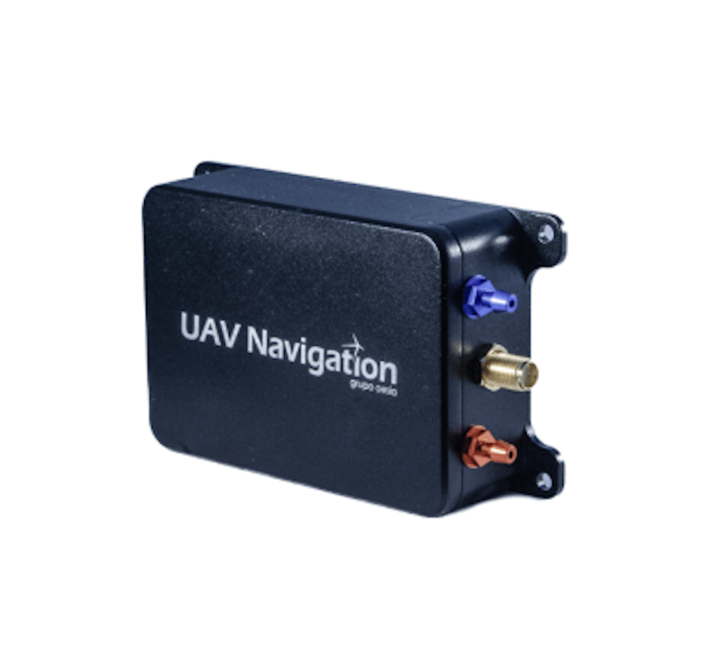
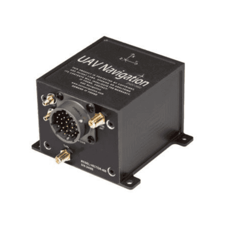
UAV Navigation-Grupo Oesía’s new capability is intended to boost situational awareness for operators and improve operational safety by ensuring that UAVs flying with the VECTOR autopilot, used in fixed-wing, rotary-wing, and target drone platforms, remain automatically confined within a specified airspace.
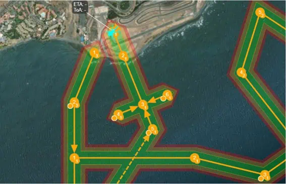
The Operational Volume feature allows UAV operators to define and observe three essential airspace zones along the flight path, using an easy-to-understand color-coded interface. This tool is designed to aid in accident prevention and risk control by clearly marking operational boundaries. The feature offers visual indicators, automated responses, and live updates to keep operators fully informed of the UAV’s location in relation to each safety zone:
- Green Zone: Identifies the Flight Geography, which is the main area designated for normal flight. Staying within this zone indicates the UAV is operating within expected parameters.
- Yellow Zone: Represents the Contingency Volume, a secondary buffer area beyond the Flight Geography. Entering this space triggers a moderate-priority warning, suggesting that corrective measures may be needed.
- Red Zone: Defines the Ground Risk Buffer, the outermost safety zone. Penetration of this area triggers high-priority alarms and can automatically initiate safety protocols to mitigate risks.
This capability streamlines the operator’s responsibilities by improving awareness and simplifying mission oversight. The VECTOR autopilot system continuously tracks and updates the UAV’s position in relation to the defined zones during autonomous operation, helping to ensure both safety and system performance.
Geocaging functionality, which includes the Operational Volume feature, offers a robust solution for advancing UAV operational safety and efficiency. Its straightforward configuration and live monitoring enable operators to better manage risks and ensure that their aircraft operate within the defined safe zones.
This feature also plays a vital role in meeting regulatory certification standards and bolstering airspace safety within U-Space, especially concerning the integration of uncrewed systems alongside manned aircraft. It contributes to initiatives such as U-SCUAR, which is supported by CDTI and co-funded through the European Commission’s Recovery and Resilience Mechanism in collaboration with the Spanish Ministry of Science and Innovation.
The project targets compliance with European UAS regulations for medium-risk missions in the specific category, where the Operational Volume, as a component of the Concept of Operations (ConOps), is essential for mission safety.
Miguel Ángel de Frutos, Director and CTO of UAV Navigation-Grupo Oesía, stated, “Our mission is to innovate and expand our clients’ capabilities while keeping flight safety at the forefront. The geocaging functionality is a significant advancement, improving situational awareness through visual aids.”