Trimble Applanix, a leader in high-accuracy Direct Georeferencing technology, has collaborated with Microdrones to integrate Applanix positioning systems into Microdrones’ aerial mapping platforms. Read more >>
The collaboration delivers a complete hardware and software workflow designed to streamline data collection and processing while maintaining professional survey-grade precision.
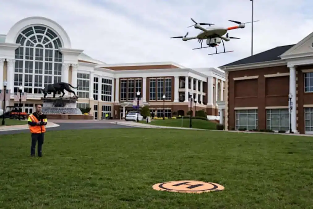
Simplifying Aerial Data Collection
Surveyors working in the field often face difficult conditions that can slow the collection and analysis of spatial data. Uneven terrain, changing weather, and time-intensive manual processing can extend project timelines and increase operational costs.

POS Technology Integration
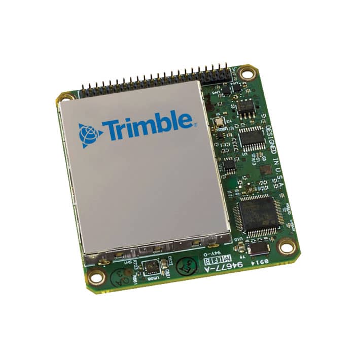
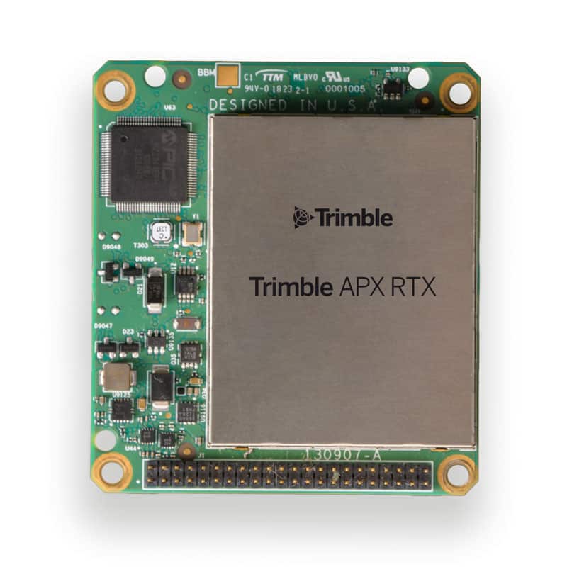
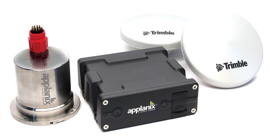
Applanix supplied its POS (Position and Orientation System) technology, providing the high-accuracy georeferencing required for UAV-based LiDAR applications. As part of the integration, Applanix refined its hardware to reduce overall weight while preserving the performance and precision of the Inertial Measurement Unit (IMU).
The resulting APX UAV solutions were engineered to meet UAV size, weight, and power requirements while maintaining professional-grade georeferencing accuracy. By combining Applanix’s systems with Microdrones’ aerial platforms, the partnership created an efficient mapping tool suitable for surveying, mining, construction, oil and gas, and precision agriculture applications.
Cloud-Based Processing Workflow
Following successful integration, the two companies expanded the system to support a fully unified data workflow. Incorporating Applanix POSPac Cloud allowed Microdrones to streamline post-mission GNSS-inertial processing as part of a seamless end-to-end workflow.

LiDAR point cloud of a neighborhood view within the software.
Operators can fly the UAV, upload data to the POSPac Cloud, and download post-processed, survey-grade results. This process significantly reduces turnaround times and simplifies high-accuracy data production, enabling a broader range of users to access professional-grade results.
Benefits for Surveying Applications
With Applanix’s Direct Georeferencing technology integrated, Microdrones’ platforms now deliver several key advantages:
- Improved operational safety through remote aerial data capture
- High-accuracy georeferencing for consistent, survey-grade outputs
- Efficient workflow from data collection to post-processing
- Comprehensive turnkey solution combining hardware and software
The collaboration has made high-quality UAV LiDAR mapping accessible to small and midsize surveying firms that previously faced cost barriers. Systems such as the mdLiDAR1000HR, paired with the mdInfinity software platform, enable efficient, accurate, and cost-effective project execution across a range of industries.
By combining Applanix’s positioning and orientation expertise with Microdrones’ geospatial technology, the partnership delivers a scalable and precise approach to UAV-based surveying.