Trimble Applanix is supporting the advancement of autonomous drone logistics through high precision positioning technology that enables commercial operations in controlled airport airspace. Read more >>
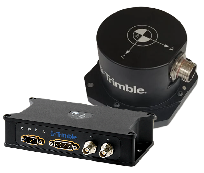
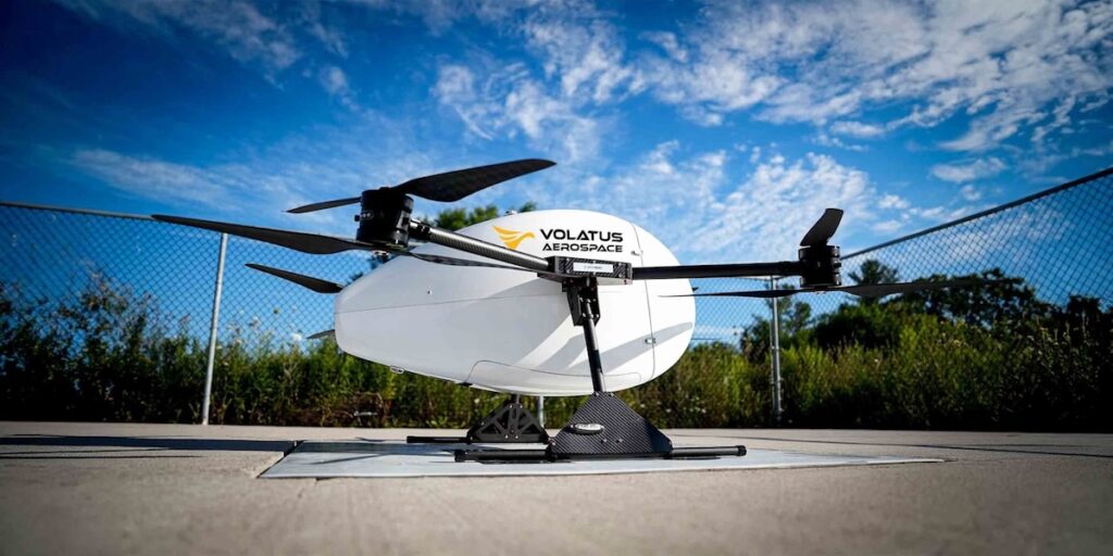
Working with Volatus Aerospace, the company’s Trimble PX-1 RTX® GNSS-inertial solution has helped establish a scalable drone logistics network at Edmonton International Airport (YEG), enabling autonomous medical deliveries without the need for local RTK base stations through the Trimble CenterPoint® RTX correction service.
The project has achieved several key milestones, including more than 3,000 commercial drone flights, the safe intersection of an active runway glide path, centimeter level positioning without local base stations, a reliable medical supply delivery route, and all weather autonomous landing precision.
Volatus Aerospace, which provides aerial solutions for sectors including energy, infrastructure, and mining, began using Trimble Applanix technology in 2022 while seeking a high accuracy positioning solution for precision flight and landing. The company deployed the Trimble PX-1 RTX, a compact GNSS-inertial solution that delivers real time centimeter level positioning without requiring local base stations by using the Trimble CenterPoint RTX correction service.
Ivan Monroy Ortiz, Manager of Operations Engineering, Volatus Aerospace, “Volatus Aerospace pioneers air cargo logistics using the Trimble PX-1 RTX for precise drone flights at Edmonton International Airport, enabling autonomous medical deliveries in controlled airspace without local base stations.”
Building a Scalable Drone Logistics Network
The Edmonton International Airport initiative is a multi-phase project focused on establishing a scalable drone logistics network for transporting time critical, high value cargo, including medical supplies.
One of the primary technical challenges was achieving autonomous precision landings near airport terminals and hangars. Conventional approaches typically require local RTK base stations, making deployment more time consuming and increasing operational complexity across a large airport environment.
Another requirement involved safely crossing an active runway glide path. To meet operational requirements, the aircraft had to remain within a defined virtual corridor, as even small deviations in altitude or position could interfere with commercial aircraft operations.
Environmental conditions introduced additional challenges. Standard RTK solutions can experience reduced accuracy over longer distances and may be susceptible to datum shifts. Vision based navigation systems can also be affected by poor lighting and adverse weather while requiring landing areas to remain consistently clear.
The Trimble PX-1 RTX addresses these challenges through advanced sensor fusion, delivering positions in a consistent global reference frame (ITRF). The system maintains consistent centimeter level accuracy regardless of operating distance, supports all weather operations without relying on visibility, and helps mitigate multipath effects during flights near buildings and other airport infrastructure.
Demonstrating Commercial Operations
The first phase of the program included more than 3,000 commercial drone flights covering over 8,500 kilometers at Edmonton International Airport. During the second phase, the project achieved a Canadian first by safely integrating a drone flight that intersected an active runway glide path. All flights are managed remotely through a centralized Operations Control Centre, demonstrating an efficient workflow that supports scalable drone logistics.
The logistics route also supports healthcare delivery for the Montana First Nation, located south of Edmonton. The service enables the transportation of time critical medical supplies, including laboratory samples and prescription medications, between the airport and the community while avoiding delays associated with road traffic and winter weather.
In addition to eliminating the need for local RTK infrastructure, the Trimble PX-1 RTX provides access to expert technical guidance during system integration and delivers the positioning performance required for operations in regulated airspace. Its satellite based approach reduces reliance on ground equipment while providing resilience against multipath effects during operations near buildings and other structures.
The Edmonton International Airport project demonstrates how high precision positioning can support safe, autonomous drone operations in controlled airspace while establishing a practical framework for commercially scalable drone logistics. It also highlights the efficiency and reliability that autonomous aircraft can deliver when operating in highly regulated environments.
Read more about the case study on the Trimble Applanix website >>