


YellowScan CloudStation
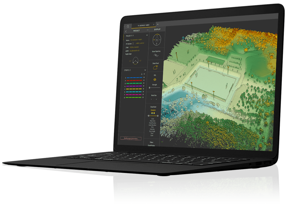
CloudStation is the proprietary software developed by YellowScan to generate and visualize point-clouds. An all-integrated solution with a user-friendly interface, it provides the ability to extract, process and display data immediately after flight.
Auto-generation of strips and the production of LAS files can be performed in just a few clicks, providing a faster workflow and enhanced productivity. Advanced visualization tools include 3D viewing, EDL filtering and vertical slicing.
Key features- User-friendly graphical interface
- Automatic or custom strip selection
- Process and export in .LAS / .LAZ format
- Advanced visualization tools
- Project setttings: Coordinate System, LiDAR profile, angle range...
To allow for remote work in the field, customers have the option to test out the license for up to 30 days. The software is provided with support, maintenance and updates at no additional costs during the first year after purchase.


