


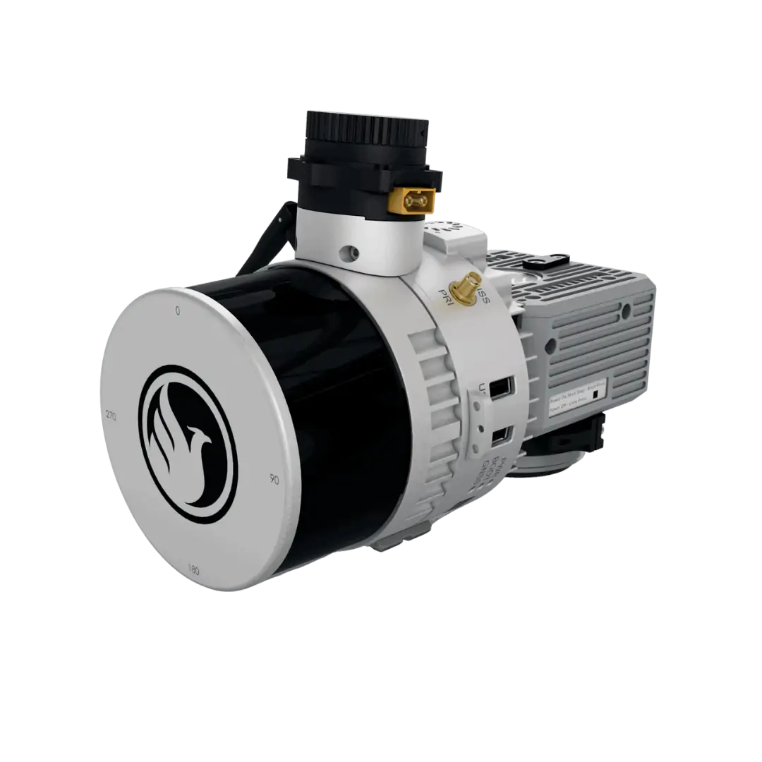
Recon-XT – Drone LiDAR
The Recon-XT is an entry-level LiDAR system designed for the DJI Matrice 300, and is ideal for smaller scan areas and applications on a budget. It features a multi-target capacity that provides up to 2 target echoes per laser shot.
In addition to drones, the flexible system can also be mounted on mobile mapping systems and in backpack configurations.
- Weight: 1.8 kg
- Dimensions: 18.9 x 13.1 x 13.8 cm
- Absolute Accuracy: 2-5cm RMSEz @ 80m AGL
- Max Range: 120 m
- Max Scan Rate: 1280k points per second


