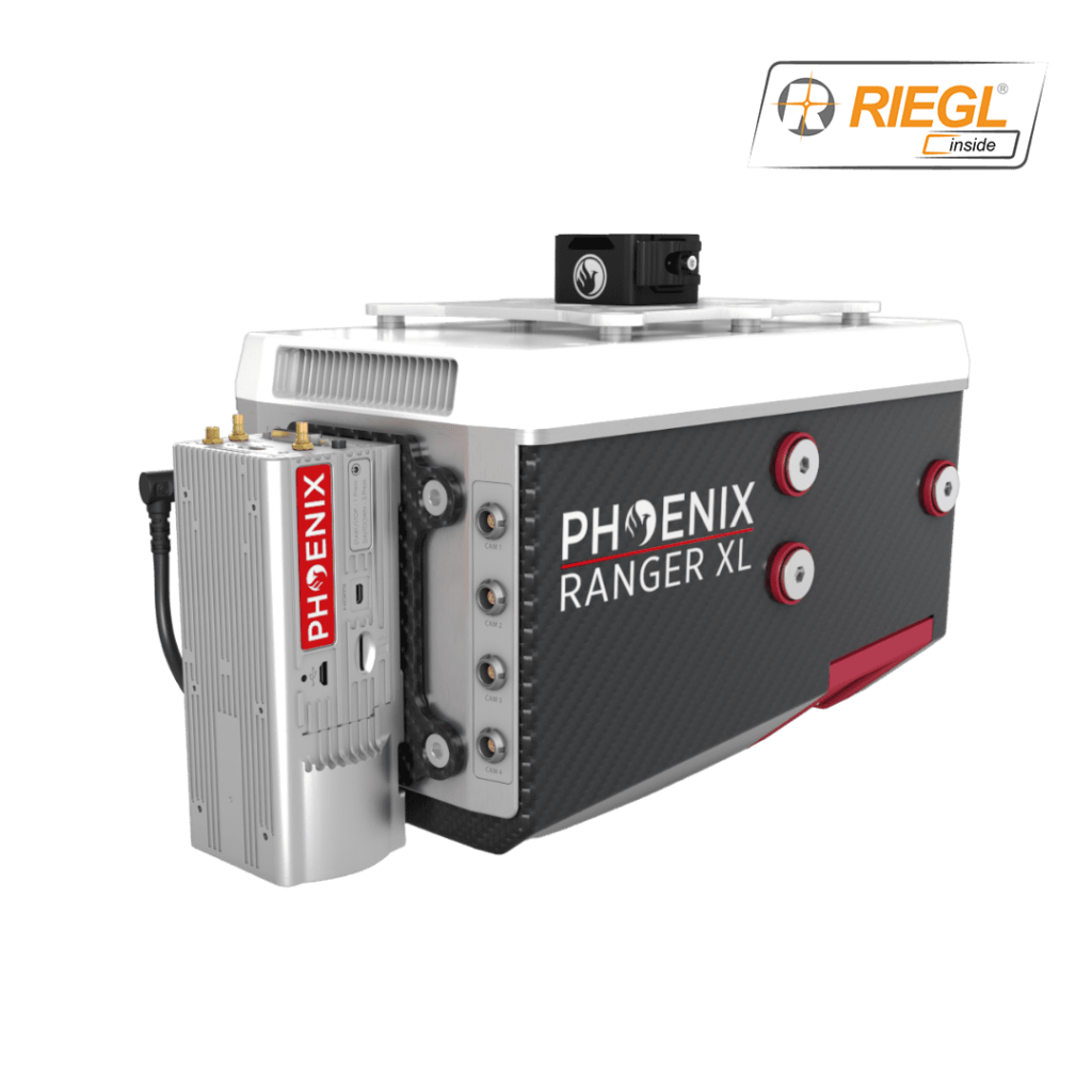
Ranger XL – Drone LiDAR
The Ranger XL is a lightweight airborne laser scanner designed for fixed-wing, multirotor and helicopter drone platforms. With a wide field of view of 75 degrees and a data acquisition rate of up to 1.8 MHz, it is ideal for high point density corridor mapping applications such as power line, railway track and pipeline inspection.
The Ranger XL includes Phoenix LiDAR’s AIR NavBox, a lightweight rover that allows configuration of heavier payloads for the DJI M600 series and integration of the highest resolution cameras on the market.
- Weight: 5 kg
- Dimensions: 352 x 164 x 185 mm
- Absolute Accuracy: 25-50 mm @ 350 m Range
- Max Range: 1900 m
- Max Scan Rate: 1800k points per second


