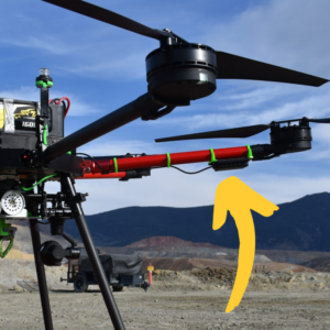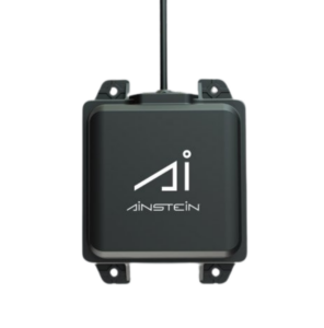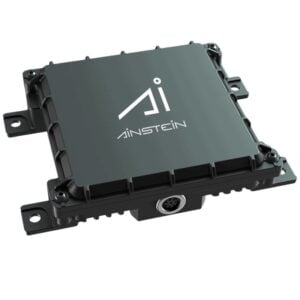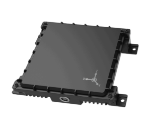
Ainstein is a global leading developer of mmWave radar sensing technologies for drones and robotics. Our advanced sensors enable intelligent flight and navigation for UAVs (unmanned aerial vehicles) and autonomous vehicles, providing unmatched precision and performance in highly dynamic and challenging environments.
We have delivered affordable, scalable, and reliable solutions to hundreds of customers across 40 countries, and have successfully undertaken projects in areas such as:
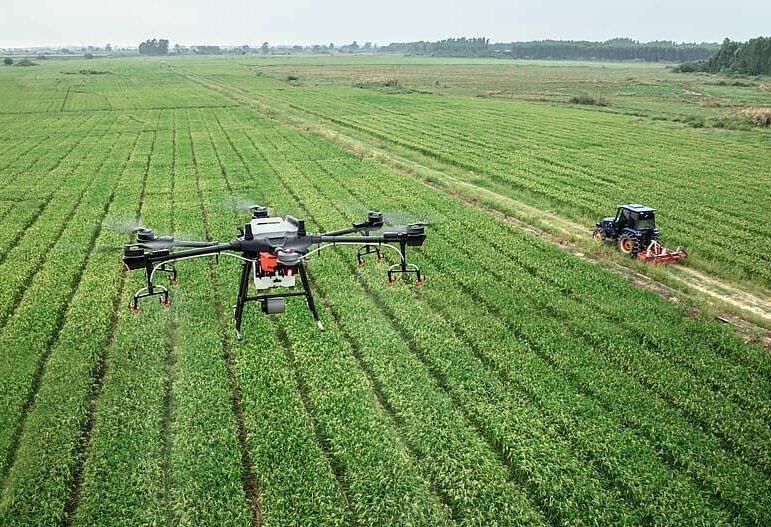
- Smart Agriculture
- Drone Delivery
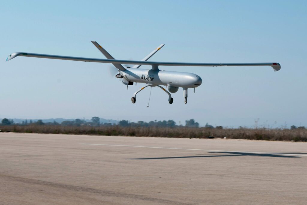
- Aerial Targets
- Geophysical Survey
- BVLOS