Reality Capture Platform Integrated with Draganfly Drones for Live 3D Mapping

The integration of SkyeBrowse’s live 3D mapping software will enable Draganfly’s public safety drones to increase capabilities in relation to accident reconstruction, tactical operations, SAR, disaster response, and firefighting By Caroline Rees / 09 Mar 2023

Public Safety Drones

Discover cutting-edge solutions from 13 leading global suppliers
SUPPLIER SPOTLIGHT
Draganfly Drones
Follow UST

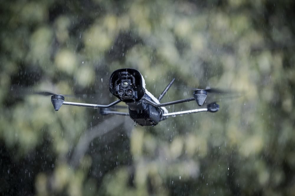
SkyeBrowse will integrate its reality capture platform with Draganfly’s public safety drones in order to provide emergency responders with enhanced situational awareness and rapid deployment capabilities during critical incidents. 

The companies believe that the combination of SkyeBrowse software and Draganfly’s UAV hardware will provide customers with an exceptional solution for public safety. With this new AI technology, emergency personnel will be able to respond to critical incidents quickly and efficiently, with the aim of saving time and lives.

This integration will enable Draganfly’s public safety drones to increase capabilities in relation to accident reconstruction, tactical operations, SAR, disaster response, and firefighting.

SkyeBrowse develops live 3D mapping software for public safety agencies around the world. This technology provides live aerial data and 3D models for scene management during disaster and first responder situations. SkyeBrowse uses videogrammetry that allows for 3D reconstruction with just one 90-second drone video.

The company’s software offers autonomous drone solutions achieving less than 1cm accuracy 3D models in under 5 minutes to improve situational awareness for first responders during critical operations. The 3D models document crime scenes, vehicular accidents, and plan active shooter mitigation.

Conversly Draganfly’s drone technology will be integrated into SkyeBrowse’s video-based 3D modeling platform to deliver critical situational data to first responders, including modelling, mapping, and monitoring.


“Our team is always striving to find ways to simplify emergency response and provide solutions to enhance current safety systems,” said Cameron Chell, CEO of Draganfly. “We are very honored by this integration as SkyeBrowse is a world-class provider, and we look forward to working with them to bring our innovative solutions to market.”

“As the CEO of Skyebrowse, I am thrilled to partner with Draganfly, a leader in the UAV and drone industry. Together, we can leverage our expertise and cutting-edge technology to revolutionize the way we approach aerial data collection and analysis ultimately enhancing the safety of our first responders and military personnel,” said Bobby Ouyang, CEO and Co-founder of SkyeBrowse. “We at SkyeBrowse are eager to watch this partnership take flight together towards new heights of innovation and success.”

Posted by Caroline Rees Caroline co-founded Unmanned Systems Technology and has been at the forefront of the business ever since. With a Masters Degree in marketing Caroline has her finger on the pulse of all things unmanned and is committed to showcasing the very latest in unmanned technical innovation. Connect & Contact

Latest Articles

FAA Approves Canadian UAVs’ Sparrowhawk™ Radar for BVLOS Drone Operations

Canadian UAVs have detailed recent FAA approval of its Sparrowhawk™ Radar system, enabling advanced drone operations for police first responders in U.S. urban airspace

May 22, 2025
OceanAlpha to Demonstrate High-Endurance Autonomous USV in Dubai

OceanAlpha will demonstrate its L25 USV in Dubai, showcasing autonomous survey technology designed for offshore applications, long-endurance missions, and real-time data acquisition

May 22, 2025
Sagetech Partners to Expand BVLOS UAS Capabilities

Sagetech Avionics and MatrixSpace are advancing BVLOS capabilities for uncrewed systems with integrated detect and avoid technologies for safe, scalable UAS operations

May 22, 2025
New Gimbaled Imaging System Released for Attritable Platforms

The new HD25-LV-C by Trillium Engineering is a low-cost, gimbaled imaging system weighing less than 400g and designed to provide advanced imaging and processing capabilities for expendable sUAS

May 21, 2025
Hybrid Navigation Solution for Enhanced Resilience Against GPS Jamming & Spoofing

The new navigation solution successfully demonstrated by Advanced Navigation utilizes a software-fused inertial-centred architecture and a new laser velocity sensor

May 21, 2025
Ascent AeroSystems & Gremsy Partner on UAS Sensor Integration

Ascent AeroSystems and Gremsy agree to sign an MoU at XPONENTIAL 2025 to explore advanced sensor integration and UAS development opportunities

May 21, 2025

Featured Content

Final Call to Apply for GENIUS NY Program

The application window for GENIUS NY, the premier uncrewed systems accelerator, closes May 28th. Learn about this incredible opportunity and explore how GENIUS NY champions innovation as the official XPO+ Launcher sponsor, at XPO Booth 3613

May 20, 2025
WarrenUAS Secures FAA 44807 Exemption, Expanding Large UAS Training Capabilities

WarrenUAS has received FAA 44807 approval to train students on unmanned aerial systems weighing over 55 pounds in the NAS, placing it among only five U.S. organizations with this clearance, and expanding its national training leadership

May 15, 2025
Product Spotlight: Durable Lightweight Lithium-Ion Batteries for UAVs

American Lithium Energy (ALE)'s energy-dense lithium-ion battery cells combine high power output with built-in safety features, ideal for UAV and eVTOL applications in challenging environments

May 14, 2025
Advancing Unmanned Systems Through Strategic Collaboration UST works with major OEMs to foster collaboration and increase engagement with SMEs, to accelerate innovation and drive unmanned systems capabilities forward.