Vision-Enhanced RTK-GNSS Positioning System for Autonomous Vehicles

The Vision-RTK 2 combines high precision RTK-GNSS with deeply fused inertial and visual sensors By Mike Ball / 18 May 2022

Autonomous Navigation

Discover cutting-edge solutions from 23 leading global suppliers
SUPPLIER SPOTLIGHT
Intelligent positioning - sensor-fusion in autonomous vehicles
Follow UST

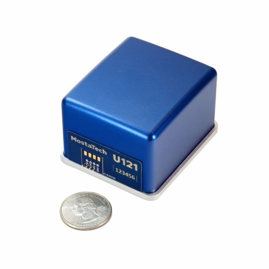
Fixposition, a leading developer of autonomous guidance sensors with high-precision positioning, has partnered with Unmanned Systems Technology (“UST”) to demonstrate their expertise in this field. The ‘Gold’ profile highlights how the company’s technology, which combines high precision RTK-GNSS with deeply fused inertial and visual sensors, can be used to provide precise global positioning for autonomous vehicles anytime and anywhere.

Vision-RTK 2 - gnss positioning sensorThe Vision-RTK 2 is a lightweight, compact off-the-shelf system that can be easily integrated into a wide range of autonomous vehicles and platforms.

Featuring industry-standard connectors, it provides plug-and-play autonomy for logistics, landscaping, urban delivery, land mowers and more, allowing you to simplify development and reduce time-to-market. The solution is available in a weatherproof enclosure or as an OEM board, and includes an intuitive web-based interface for setup and monitoring, with a dashboard that provides visualization of your data.

Autonomous vehicle sensor fusionThe Vision-RTK 2 system feeds all available sensor data into Fixposition’s deep sensor fusion engine, combining the best of GNSS and relative positioning to overcome weaknesses in individual sensors and remove the time-dependent drift characteristics present in IMU-based solutions. The result is robust and precise positioning even in GNSS-degraded or denied areas.

Two dual-band receivers use satellite signals from all four GNSS Systems (GPS, GLONASS, BeiDou, and Galileo) to determine the sensor’s absolute position and orientation. RTK technology is used to correct errors and achieve centimeter-level accurate positioning. NTRIP is used to provide the correction data to the sensor. This data can be obtained from publicly available Virtual Reference Station (VRS) networks, or from a local physical base station.

multi sensor fusion technologyCamera images are used to extract significant points (visual features) that are tracked across multiple images. Subsequent observations of visual features allow computation of how the camera moved in between the captured images.

Vision-RTK 2 is ideal for a wide range of robotics applications, including delivery, precision agriculture, and landscaping. Fixposition can work with you to determine the specifics of your hardware and software platforms and the unique requirements of your application, fine-tune your design to optimize performance, and continue to support you during the production phase.

To find out more about Fixposition and their precise positioning solutions for autonomous vehicles, please visit their profile page: https://www.unmannedsystemstechnology.com/company/fixposition/

Posted by Mike Ball Mike Ball is our resident technical editor here at Unmanned Systems Technology. Combining his passion for teaching, advanced engineering and all things unmanned, Mike keeps a watchful eye over everything related to the unmanned technical sector. With over 10 years’ experience in the unmanned field and a degree in engineering, Mike’s been heading up our technical team here for the last 8 years. Connect & Contact

Latest Articles

Most Read Articles on UST This Week

Here’s our round-up of the five most read articles on UnmannedSystemsTechnology.com this week

Apr 17, 2025
Updates on Conformal Coating & Tin Whiskers

SCS outlines updates on conformal coatings and tin whiskers, looking into the origin of tin whiskers, how to mitigate their adverse consequences with conformal coatings, and more

Apr 17, 2025
Quadratix Powers Multi-Domain UAS Operations with AI & Automation

General Atomics integrates its software expertise into Quadratix, a unified ecosystem designed to enhance multi-domain operations with AI, automation, and real-time data fusion across air, land, sea, cyber, and space, including unmanned systems

Apr 17, 2025
Integrated ROV Camera & DVR System Streamlines Visual Inspections

SubC Imaging outlines how its Rayfin SCI system simplifies underwater inspections by combining camera control and DVR functions into a single interface for ROV operators

Apr 17, 2025
ParaZero Unveils Advanced Parachute Recovery System for Critical Drone Operations

ParaZero launches the SafeAir M4, an advanced parachute recovery system designed for the DJI Matrice 4, enhancing drone safety, compliance, and mission readiness

Apr 17, 2025
The Evolution of Aurora Flight Sciences’ sUAS Platforms

Aurora Flight Sciences has spent more than ten years refining sUAS capabilities, and its evolving platforms now support a broad range of ISR missions

Apr 17, 2025

Featured Content

WarrenUAS Adds Another Top Expert in Sophisticated Unmanned Aircraft

WarrenUAS has announced a collaborative agreement with The Tactien Group, deepening its industry ties and expanding its leadership in unmanned aircraft systems training and research

Apr 15, 2025
​​​​Teledyne Marine Launches Compact Autonomous Navigation Solution at Ocean Business

Teledyne Marine has unveiled the Compact Navigator at Ocean Business 2025, an ultra-compact autonomous navigation system designed for ROVs and AUVs, optimizing size, power, and performance in a single lightweight unit

Apr 10, 2025
Greensea IQ to Present Autonomous EverClean Robot at Ocean Business 2025

Greensea IQ will introduce its hybrid EverClean Inspection Robot at Ocean Business 2025, showcasing advanced capabilities for underwater asset inspection and data collection

Apr 07, 2025
Advancing Unmanned Systems Through Strategic Collaboration UST works with major OEMs to foster collaboration and increase engagement with SMEs, to accelerate innovation and drive unmanned systems capabilities forward.